Alert
Alerts
1 night in a mountain hut under the Pointe Percée
Description
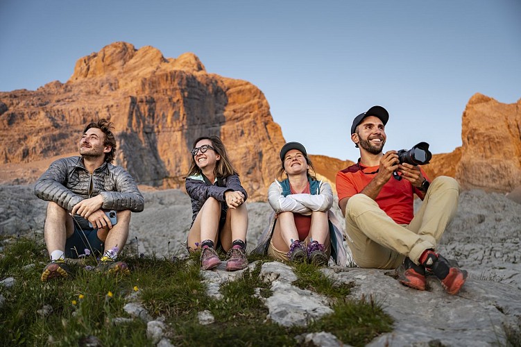
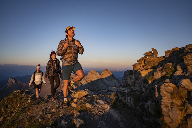
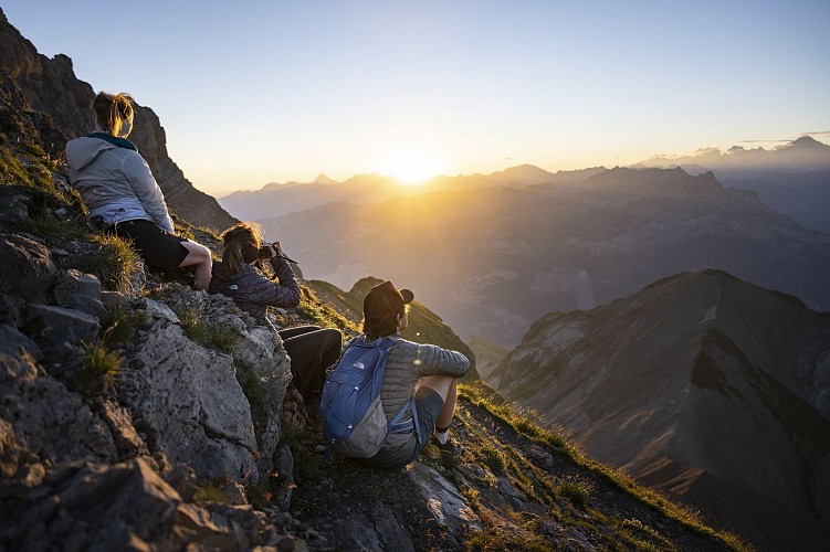
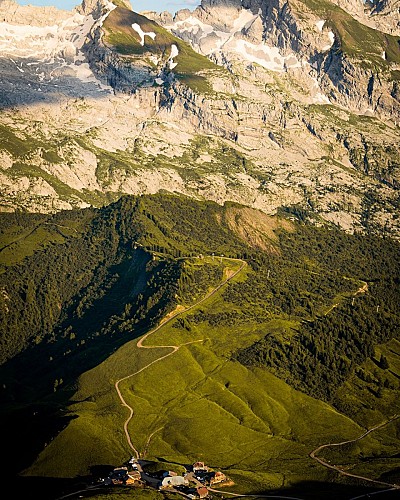
A magnificent two-day hike to the Pointe Percée refuge. Starting from Les Troncs, this route leads to the foot of the highest peak in the Aravis mountain range. A steady climb through woods and mountain pastures before reaching a rocky landscape of lapiaz.
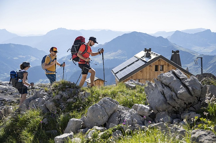
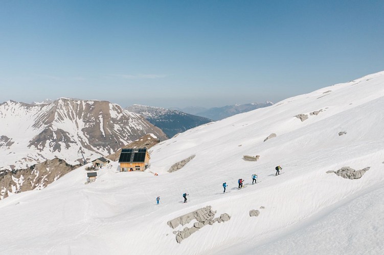
The Refuge de la Pointe Percée, located on a large expanse of lapiaz, is the highest point of the hike and marks the boundary with mountaineering, as it is the starting point for several routes to the summit of Pointe Percée.
A true promontory, the view of the Mont Blanc, Bargy and Aravis massifs is breathtaking and will reward your efforts with an evening and night in one of the most iconic refuges in the Aravis.
Return via Tête des Annes and Col de Borneronde.
Technical Information
Altimetric profile
Starting point
Points of interest
Date and time
- From 15/06/2026 to 15/11/2026
- From 15/06/2027 to 15/11/2027
Additional information
Updated by
Le Grand-Bornand Tourisme - 30/07/2026
www.legrandbornand.com
Report a problem
Environments
Close to GR footpath
Mountain view
Mountain location
Location complements
From Le Grand-Bornand Village, follow the Route de la Vallée du Bouchet and then the Route de Lormay. The Troncs car park is at the end of the road.
Open period
From 15/06 to 15/11 daily.
From spring to fall, depending on snow conditions, you are responsible for your own safety. Look online or call for information on conditions. Contact the refuge for opening conditions and reservations.
Topo guides and map references
Topo guides references :
Map of Tournette / Bornes / Aravis hiking routes.
Map references :
Map IGN Top 25 n°3430 ET La Clusaz Grand-Bornand.
Contact
Phone : 04 50 02 78 00
Email : infos@legrandbornand.com
Website : https://www.legrandbornand.com
Facebook : http://www.facebook.com/legrandbornand
Guidebook with maps/step-by-step
1/ DAY 1 -From the Troncs car park, head up through the woods, following the signs for Plattuy and Le Planet. From the Planet mountain pasture, follow the path between the lapiaz formations to Mont Pelé and the Pointe Percée refuge.
2/ DAY 2 - From the Pointe Percée refuge to the Les Troncs car park. The return journey follows the same route as the outward journey, heading towards Les Troncs to reach the starting point.
Animals
Yes. Dogs must be kept on a lead due to the presence of herds.
Data author
