Alert
Alerts
GR2013 - Loop of the Massif de l'Etoile

Description
192 km loop around the Massif de l'Etoile. Corresponds to loop B of the Grande Randonnée GR2013 itinerary.
10 days of roaming, access via numerous stations.
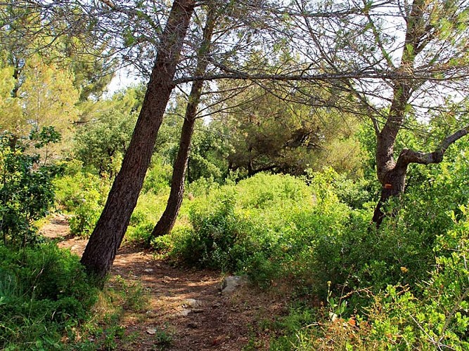
A metropolitan hiking trail through countryside and housing estates, cottages and garrigue, nature reserves and freeways and business parks. Landscapes in the image of Marseille: between urban metropolis and forest massifs.
From the lowest point in the Bouches-du-Rhône department (0 meters on the beaches), to the highest point (877m at Pic de Bertagne).
Recommended starting point: Aix-en-Provence TGV station.
Allow 10 days for the Massif de l'Etoile tour.
Technical Information
Altimetric profile
Starting point
Additional information
Updated by
Provence Tourisme - 24/06/2026
www.myprovence.fr/
Report a problem
Distinctions
GR®
Open period
All year round.
