Alert
Alerts
Topo 13 : La Croix de St Marcel
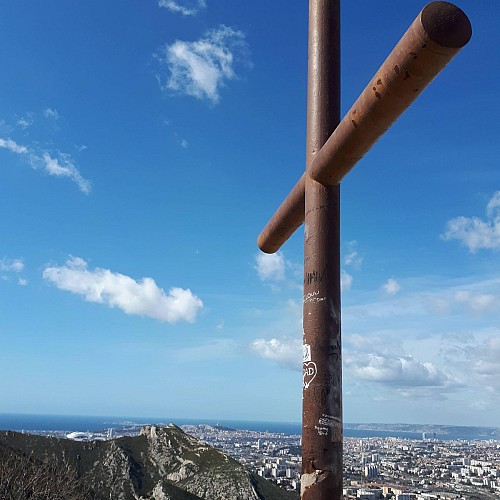
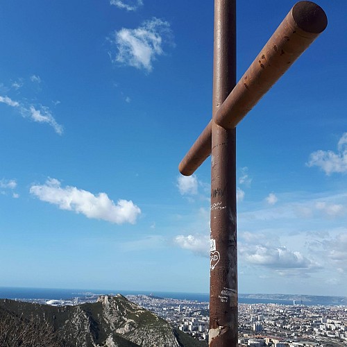
Description
Hiking in Marseille in the hills of La Barasse. La Croix offers a panoramic view of Marseille and the Huveaune valley.
An easy hike which allows you to discover an area impregnated by human activity: valleys formerly cultivated in restanques, the Huveaune valley, this dense strip linking Marseille to its hinterland. An escapade to be recommended, especially in autumn when the heather blossoms and the arbutus trees bear flowers and fruit at the same time.
Technical Information
Altimetric profile
Starting point
Additional information
Open period
All year round.
Updated by
Provence Tourisme - 06/08/2026
www.myprovence.fr/
Report a problem
Guidebook with maps/step-by-step
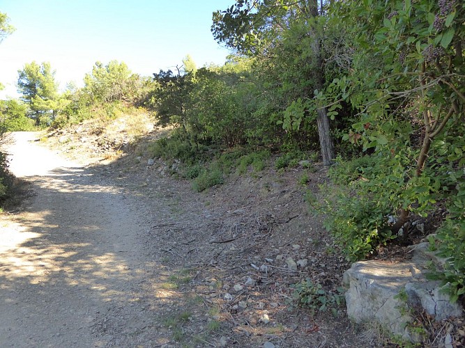
1. At the crossroads with Rue du Vallon Chauméry, turn left. 50m further on, take the gate to the left of the Domaine de la Forbine park. Take a wide track up the hillside and stay on it for 800m.
2. After about 200m, leave this track for a stony path on your left which passes under the high voltage lines. This is a pleasant path through holm oaks, rockroses, laurels, heathers and arbutus.
3. After 1 km of walking you reach the cross of St Marcel. From this point you have a view of the Huveaune valley. Retrace your steps and follow the path to the old fence of the Domaine de la Forbine
4. Leave the Domaine de la Forbine through an opening in the fence. Follow the path which - before the rocky bar - turns right. Follow the blue markings. Before you reach the Col de Galvaudan, you have an exceptional view of the city of Marseille and the Côte Bleue.
5. At the pass, the path arrives on a DFCI track (tank n° 444). Go down immediately to the Vallon de la Vigie on your right. The path will now be marked in yellow. This path descends through a landscape of heather, a flower in late October/early November.
6. Walk down the path until a track crosses. Cross the track and continue along the path opposite.
After a few metres on this path you are in front of the Etoile mountain range. You can see the village of Allauch with its church Notre Dame du château and the aire de la Mourre. This rocky plateau, at the foot of the Baou Trauqua mountain, is used as a target for the training of forest fire-fighting planes, hence the red colour.
7. After 200m leave this wide path before a right turn, going down a path that follows the bottom of the Vigie valley. Follow the yellow markings. This is a pleasant route through an undergrowth of kermes oaks, holm oaks, ash trees and pines, a vegetation that has invaded the old restanques. When you reach the first houses, follow the path that runs along the fences of the houses.
8. When you reach a road (Boulevard de la Forbine), go down it. Pass the Trúc Lâm pagoda. Leave this road (near a car park and a cistern n° 407) to take the path on the right which crosses again the park of the Domaine de la Forbine.
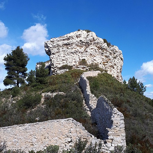
9. You are on the way back. A little further on, there is a beautiful view of the old enclosure of the Forbine and the oppidum of Baou de St Marcel. Continue on your way to the Vallon de Chauméry car park. Take the Chemin de la Maque and a few metres further on you are back at the Barasse car park.
