Alert
Alerts
394m above the sea
Description
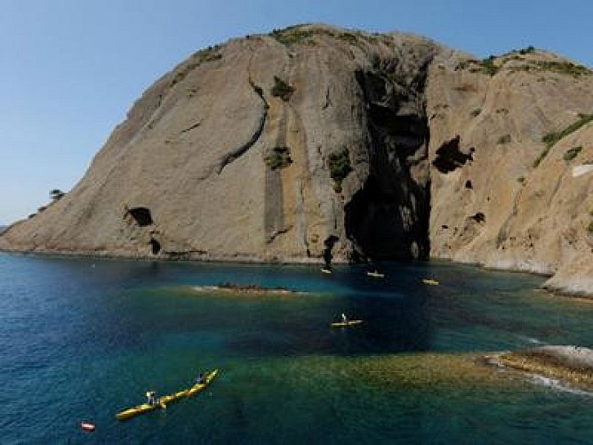
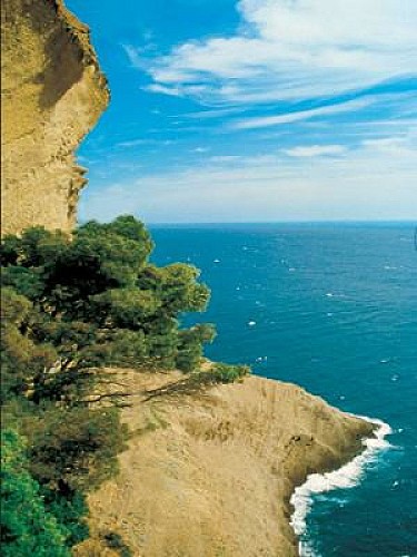
From the small oasis of Mugel, passing the balcony of the chapel of Notre Dame to the highest point of the highest maritime cliff in Europe (394m), this hike offers a palette of colors.
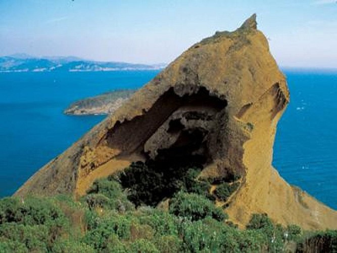
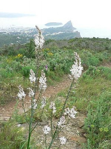
From the deep blue of the sea to the azure blue of the sky of Provence, from the red ocher of this tormented relief, to the immaculate white of the limestone incursions, and the multitude of greens painted by the vegetation of the place.
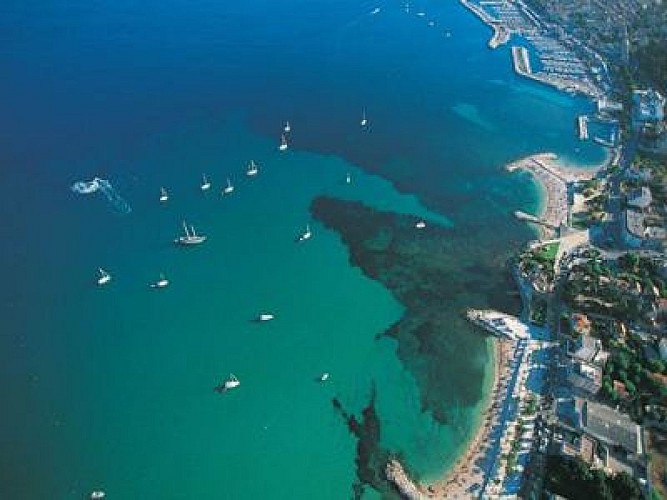
The particular heritage of this corner of Provence offers you surprising scenic beauty unveiled by captivating belvederes over the bay of Cassis and that of La Ciotat, many local stories of which have made the notoriety of these particularly endearing and picturesque towns.
From the tourist office car park, walk along Quai Ganteuame and Quai F. Mitterrand to bypass the Old Port of La Ciotat. Head towards Avenue des Calanques, follow it to the Mugel site.
Take the avenue du Mugel or let yourself be tempted by a visit to the Parc du Mugel. A path allows you to climb up to the viewpoint of the terrace. If you continue directly, follow the avenue du Mugel, follow the avenue Cardianl-Maurin to the right and then to the left the chemin de la Garde until the intersection of two roads.
Another hook that is worth the detour, the promontory of the Chapelle Notre-Dame-la-Garde will leave you with a spectacular impression. Go up there, take the Traverse de la Garde and the landscaped path that leads to the chapel.
Otherwise, continue straight on the Chemin du Semaphore which climbs gradually. Keep right when the road diverges to the left. Continue 100m.
In front of a “private property” sign, take the balcony path on the left which runs along a low wall of the semaphore, ignoring the other paths.
Pass in front of the semaphore, follow the path on the right which bypasses it to reach the Route des Crêtes. Follow it for 100m to the directional sign.
Head right towards “La Ciotat by the Sainte-Croix chapel. Stay on the ridge. It is gradually moving towards the southeast. Walk along stone walls.
After the ruins of the Sainte-Croix chapel, go down the Chemin de Sainte. Arriving in town, this path becomes tarred. Continue on this path, crossing avenue François Billoux and taking the stairs. Follow avenue de la Pétanque, then avenue Galliéni, place des Esquiros and rue Gueymard on the right to find the starting point: the Old Port of La Ciotat.
Technical Information
Altimetric profile
Starting point
Additional information
Updated by
Provence Tourisme - 30/01/2026
www.myprovence.fr/
Report a problem
Open period
All year round daily.
Type of land
Grit
