Alert
Alerts
From Lorient to Locmiquélic- The estuaries
Description
Starting point: Quai des Indes wharf Lorient
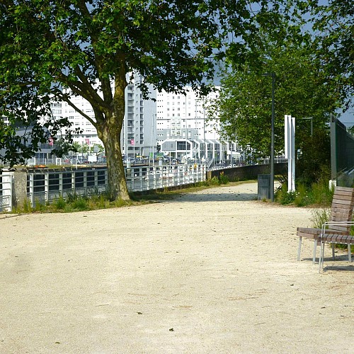
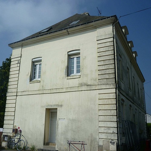
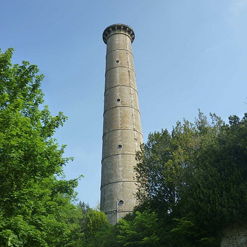
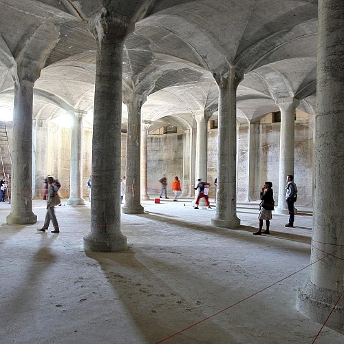
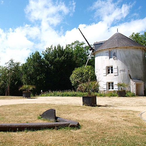
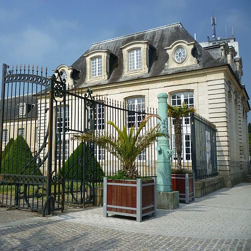
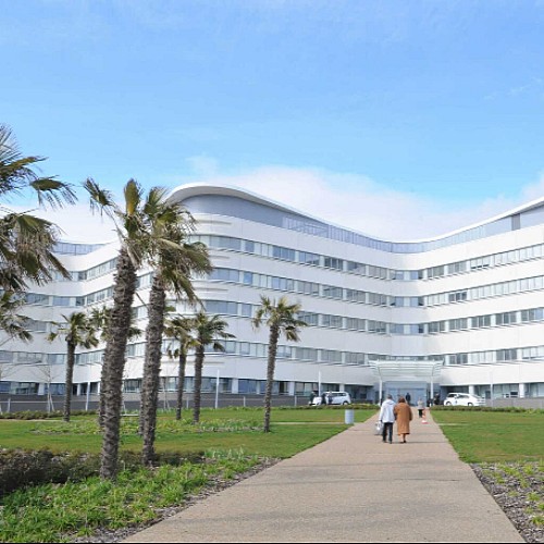
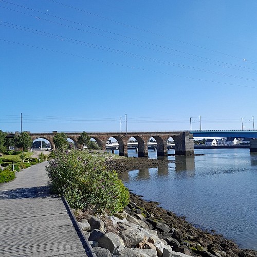
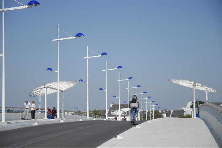
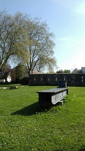
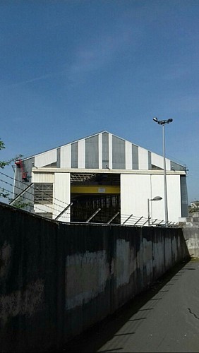
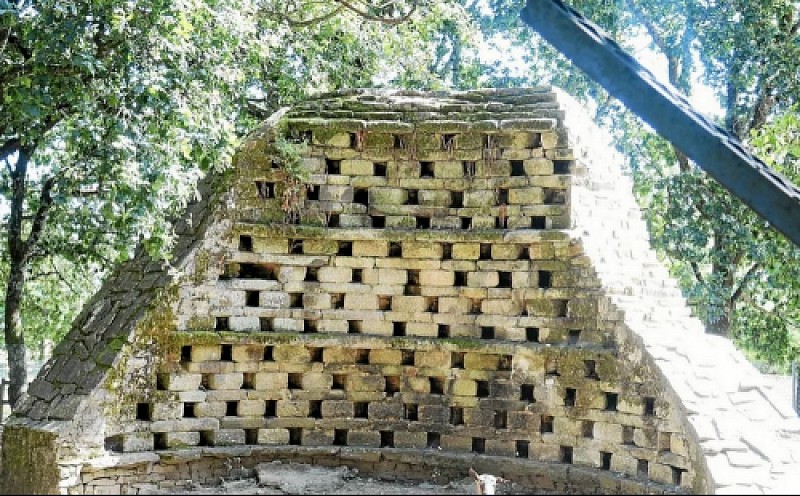
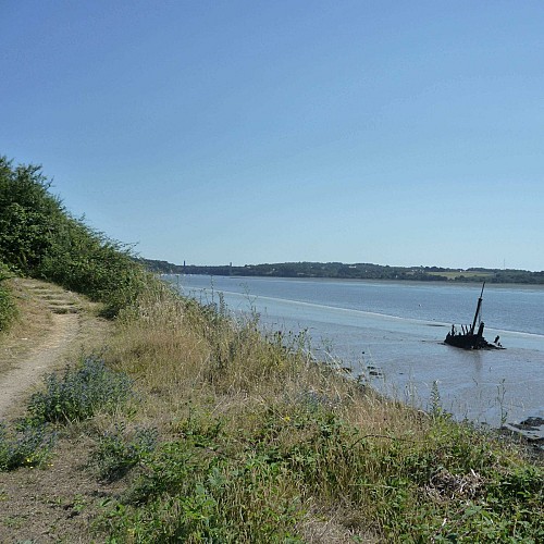
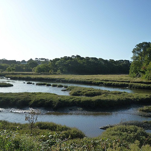
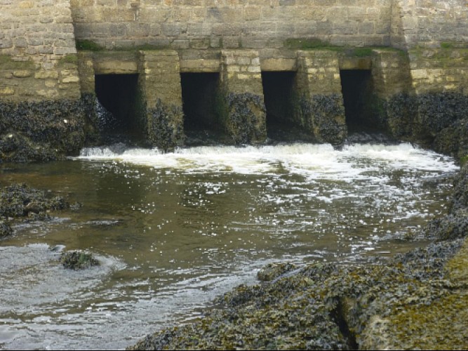
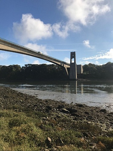
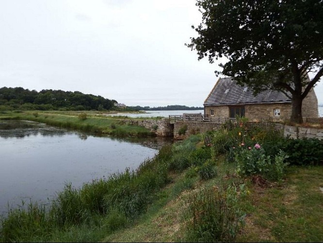
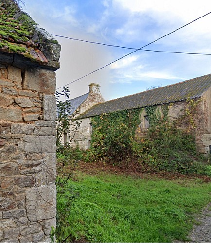
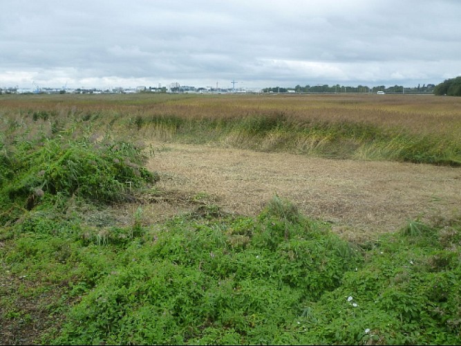
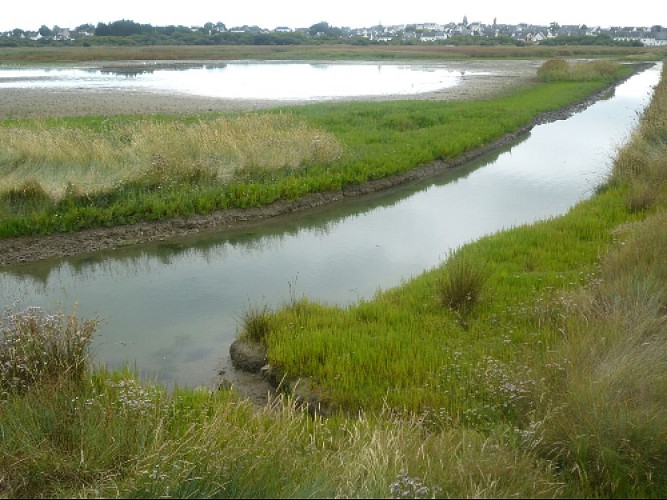
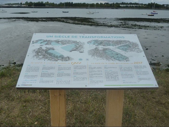
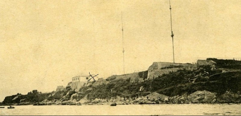
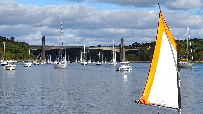
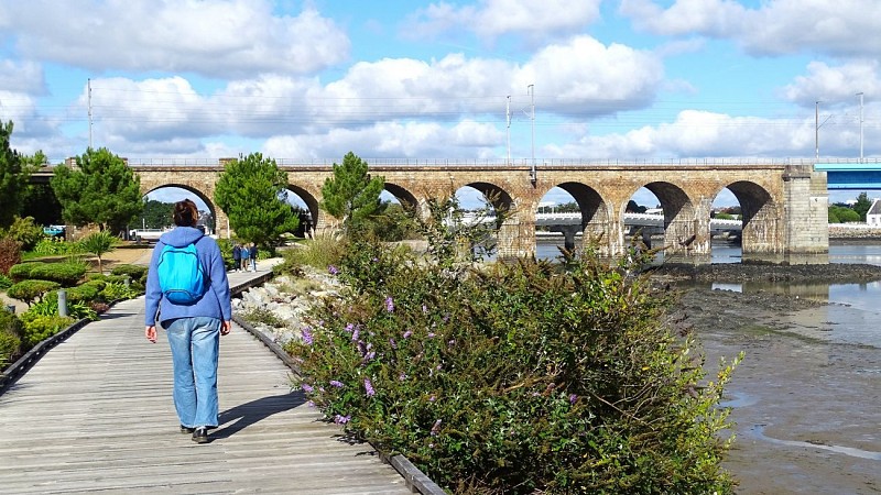
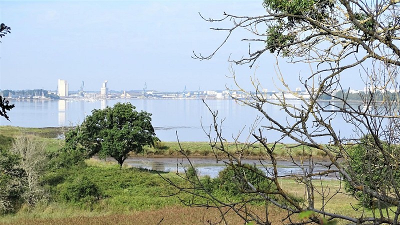
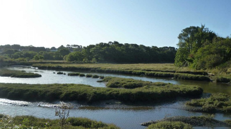
Discover the natural and architectural heritage of the bay of Lorient along the GR34. From the historic port of Lorient, you'll make your way along the Scorff before reaching the Blavet estuary, which offers stunning views over the maritime landscape.
The pedestrian circuit ends at Pen Mané jetty in Locmiquélic. A waterbus will take you back to the starting point in Lorient in 8 minutes. Don't forget to check the timetables in advance. More information at www.izilo.bzh
You are walking (or cycling) in natural, private sites. Remain on the marked paths, respect nature, developments and cultivated areas. For your comfort and safety, wear suitable hiking clothing.
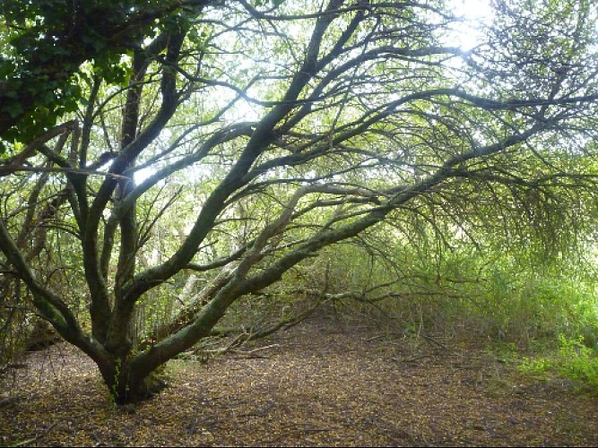
Certain allergenic species may be present along hiking trails, such as grasses, birch, alder, mugwort, ragweed, and olive trees. To plan your outings, you can consult the pollen monitoring data for the Lorient Agglomeration area and the recommended precautions to take via this link: https://www.lorient-agglo.bzh/actus/suivi-des-pollens/