Alert
Alerts
Quistinic-The Chapel Circuit
Description
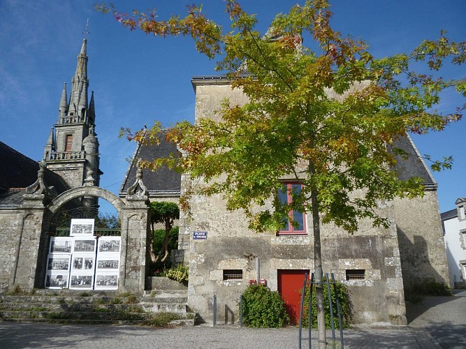
Starting point: Place Saint-Mathurin, near the bell tower of the church, down the Rue de la Resistance towards Bubry.
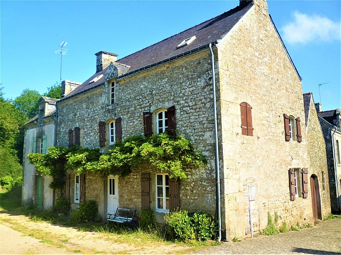
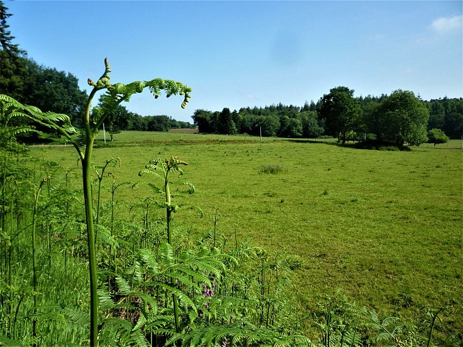
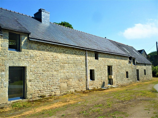
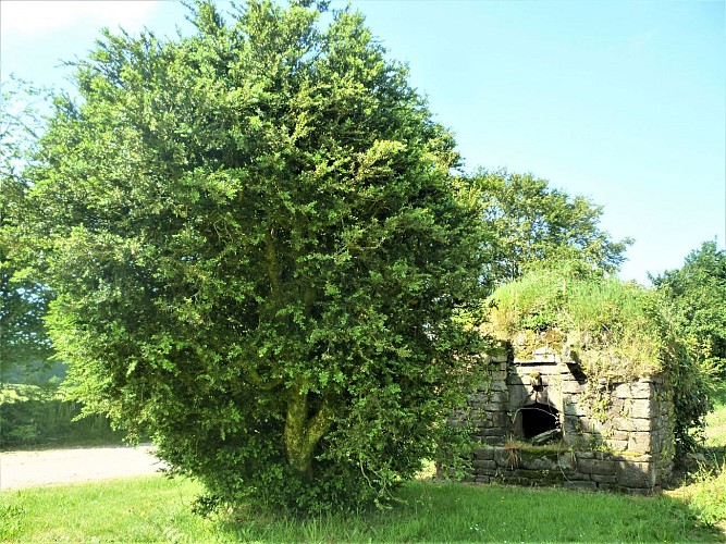
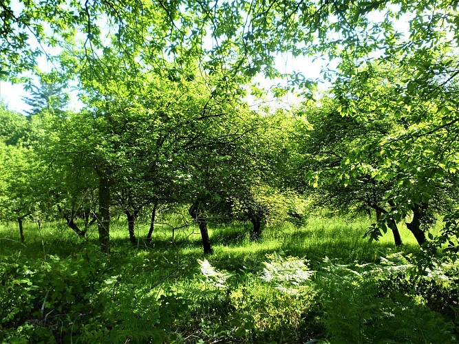
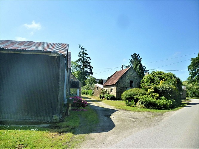
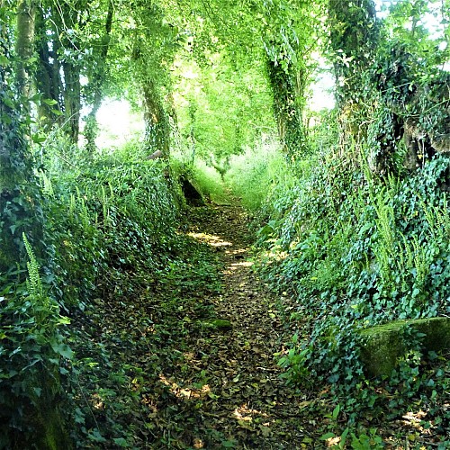
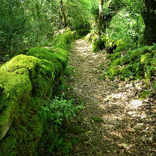
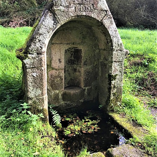
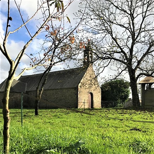
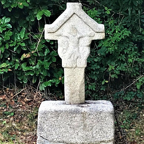
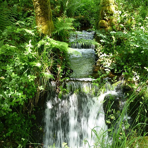
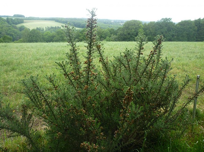
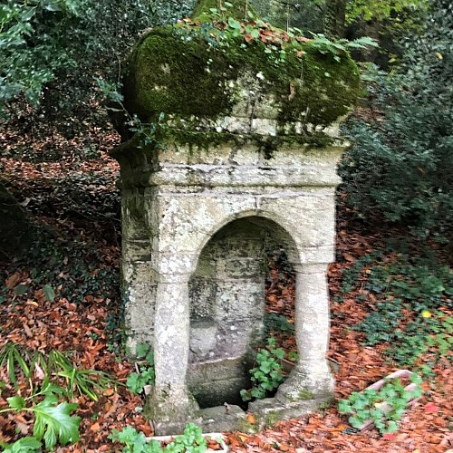
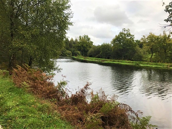
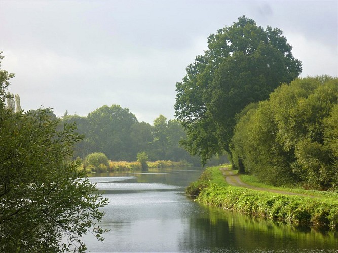
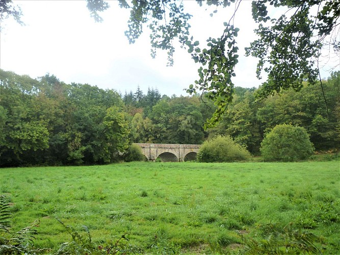
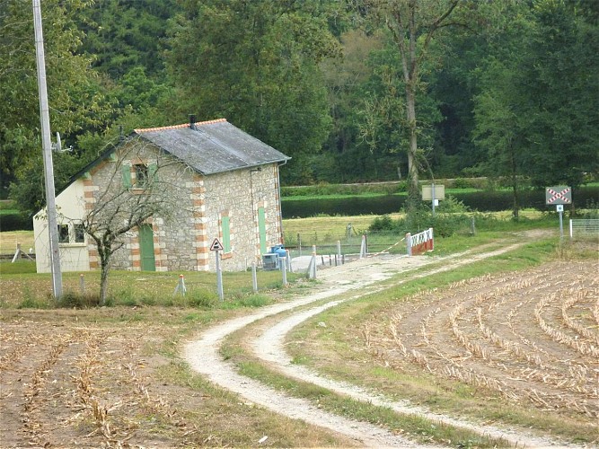
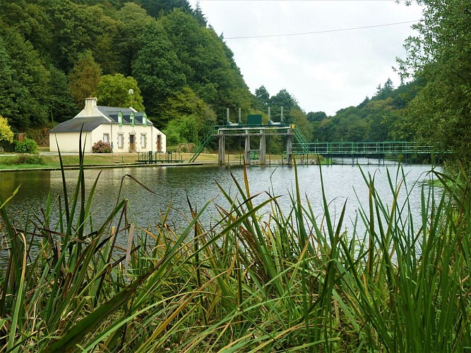
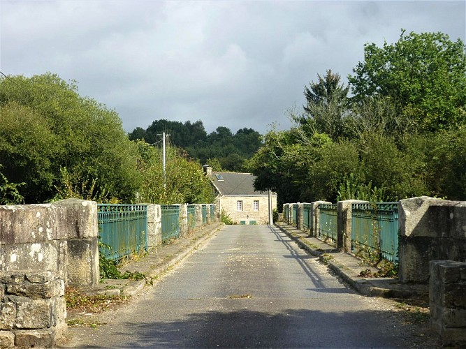
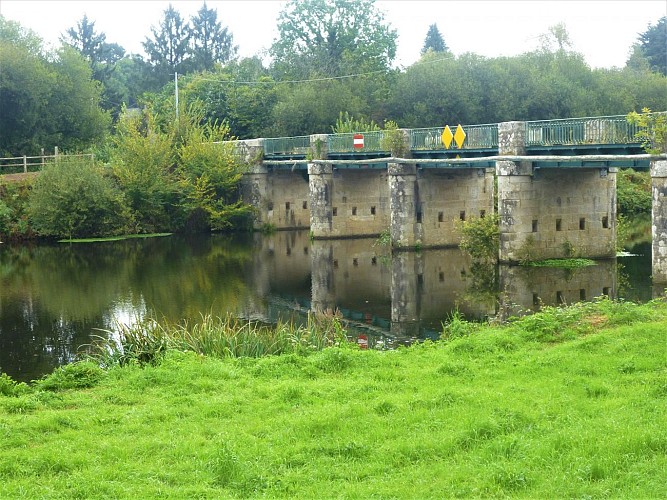
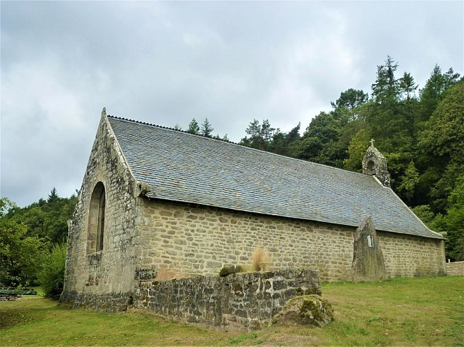
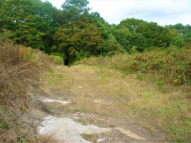
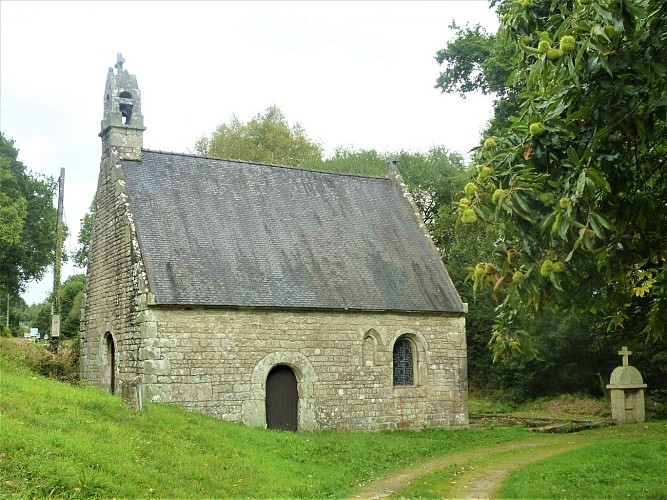
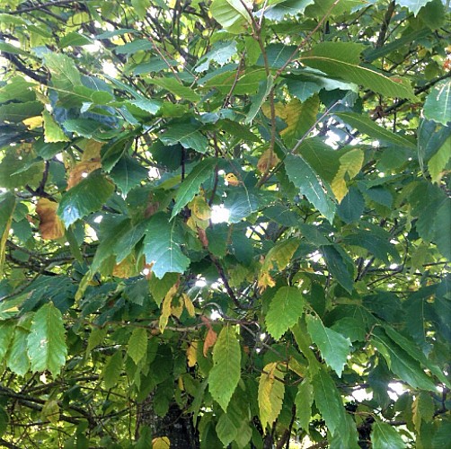
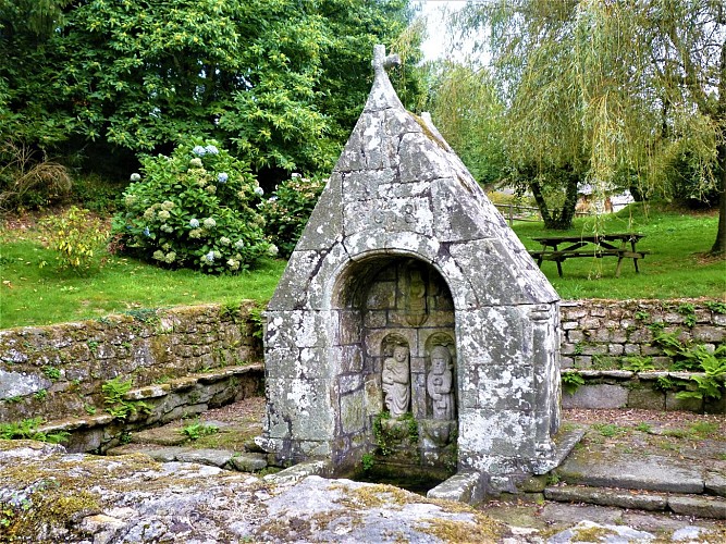
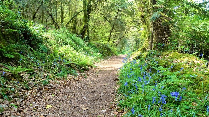
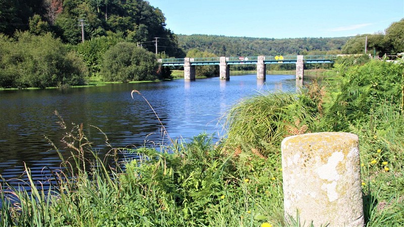
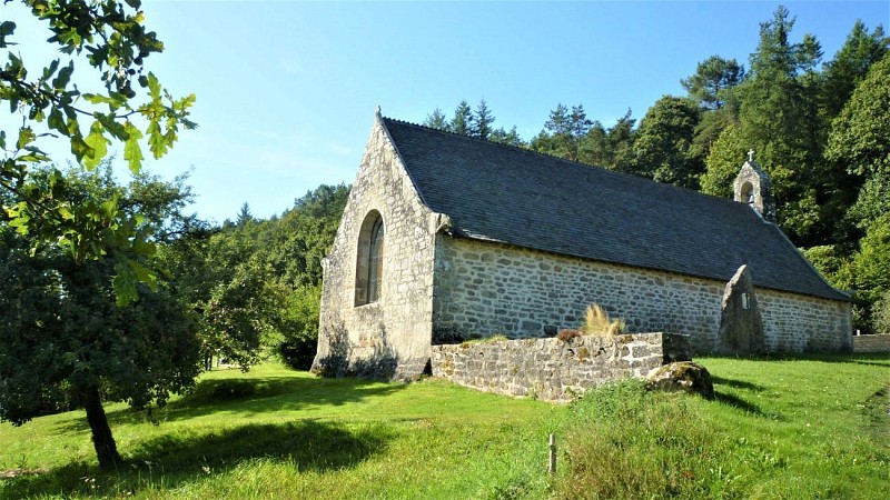
Throughout the day, through sunken paths and preserved bocage, the chapel circuit will take you to discovery the history of the town of Quistinic: its religious heritage, villages, bridges and locks. Plunging into forests and moorlands, overlooking the Blavet valley, running alongside streams, you will be enchanted by the beauty of the landscape of Quistinic (meaning chestnut grove in Breton).
You are walking in natural, private sites. Remain on the marked paths, respect nature, infrastructures and cultivated areas. For your comfort and safety, wear suitable hiking clothing.
Certain allergenic species may be present along hiking trails, such as grasses, birch, alder, mugwort, ragweed, and olive trees. To plan your outings, you can consult the pollen monitoring data for the Lorient Agglomeration area and the recommended precautions to take via this link: https://www.lorient-agglo.bzh/actus/suivi-des-pollens/