Alert
Alerts
Trail au fil des vallées - parcours 4
Description
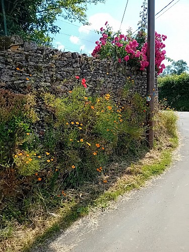
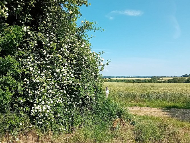
Set course for Espace Trail Au Fil Des Vallées 4, departing from Azay-le-Brûlé. A short but equally attractive version of the red 8, this route captures the essence of the region in an accessible format, ideal for a dynamic and varied outing.
From the Azay cemetery, the route takes off on a wide rolling road towards the village of Chamiers, sharing its first few kilometers with routes 6 and 8.
At the 3? kilometer mark, a shortcut allows you to leave the main route for a moment and rejoin it a little further on, at the top of the Pont Romain, before continuing the adventure in common with route 8.
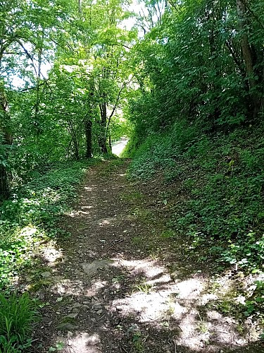
The route then winds through Puyblain, Mautré, La Cotinière, the Ligueure valley, the Coutard fountain, La Folie, La Cour d?Augé and Perré, offering a beautiful alternation of paths, wooded passages and undulating landscapes. Apr
Technical Information
Altimetric profile
Starting point
Additional information
Contact
e-mail : jean-francois.renoux1@orange.fr
Web site (URL) : www.facebook.com/profile.php?id=61553042345818
Balisage
Black
Typologie de l'itinéraire
Loop
Thèmes
Natural
Data author
