Alert
Alerts
The Glavin trail
Description
A country walk along a small path that winds its way through the fertile Olby basin, offering 360° panoramic views of the Dômes, the Combrailles and part of the Sancy massif.
Technical Information
Altimetric profile
Starting point
Additional information
Environments
In the country
Mountain view
Village -2 km away
Updated by
Conseil départemental du Puy-de-Dôme - 03/06/2026
www.puydedome-tourisme.com/
Report a problem
Open period
All year round daily.
Subject to favorable weather.
Location complements
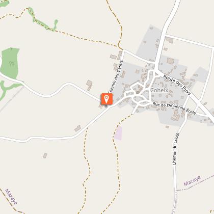
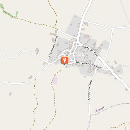
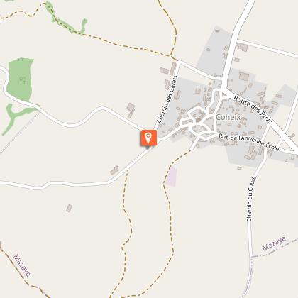
Parking lot at Coheix cemetery (Mazayes commune).
Contact
Phone : 04 73 65 89 77
Email : infostourisme@auvergnevolcansancy.com
Reception complements
For your own safety, always take a bottle of water, a hat, warm clothing and footwear suitable for walking.
Depending on weather conditions, certain itineraries are not recommended in bad weather (fog) or are not practicable, or even forbidden, during the winter season.
Some sites are fragile, so stay on the marked trails. Avoid picking wild flowers and disturbing wildlife. Pick up your garbage.
Animals are not allowed on some routes.
Guidebook with maps/step-by-step
1/ From the start sign, take the wide path to the cross (view of the Banne d'Ordanche). At the fork, go right to the crossroads.
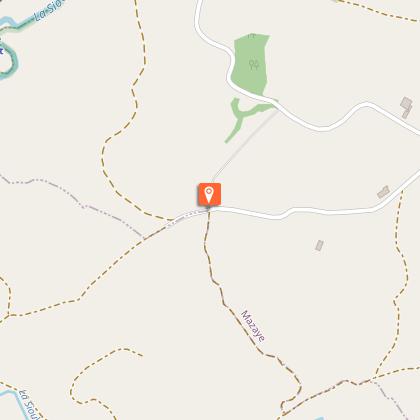
2/ Go straight ahead and take the first track on the right. At the bottom, turn left at the fork and continue through woods and pastures. At the T junction, go down the track on the right, ignoring a track on the left and then another on the right (this track is off the circuit at about 100 m from the Sioule Sioulot confluence), and follow the Sioule until you reach a footbridge.
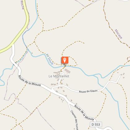
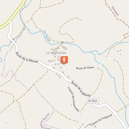
3/ Take the footbridge up to the hamlet of Monteillet. At the exit, turn left onto the Route du Glavin (view of the Puy de Dôme) and follow it, ignoring the side paths, to a fork in the road. Take the left-hand path and continue to the Glavin bridge.
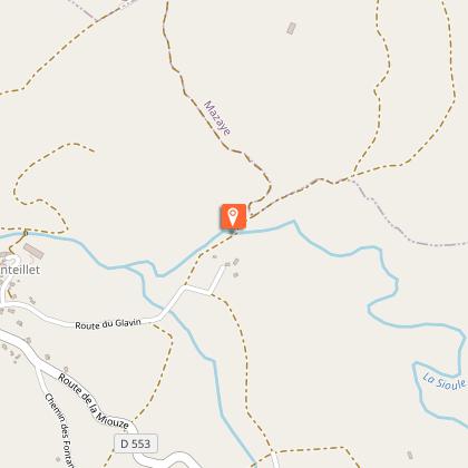
4/ Take the bridge and head uphill on the sandy track, ignoring the path on the right as you climb. At the T-junction, keep left. Walk past the wash-house (wash-house and drinking trough) and turn left twice to reach the start sign.
Animals
Yes. Pets allowed on leash only.
Data author
