Alert
Alerts
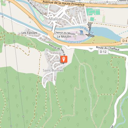
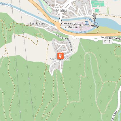
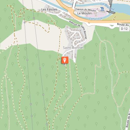
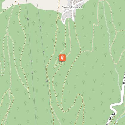
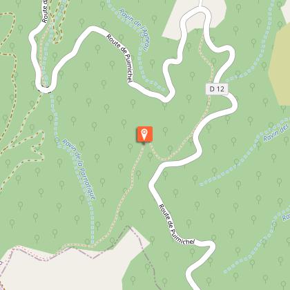
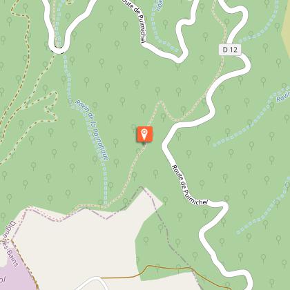
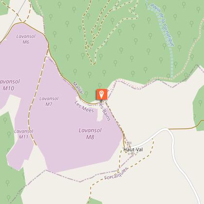
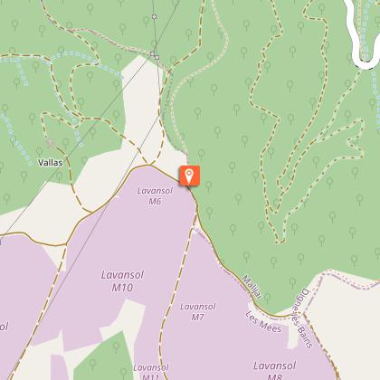
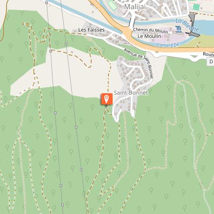
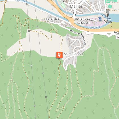
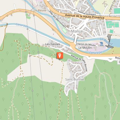
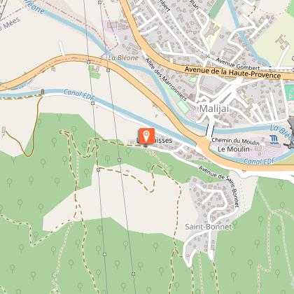
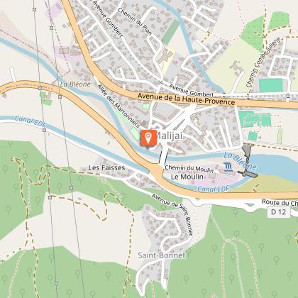
VTT n°11 - Le Haut Val
Description
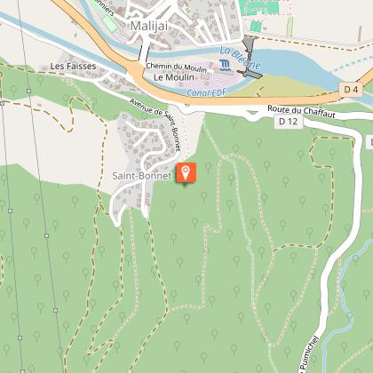
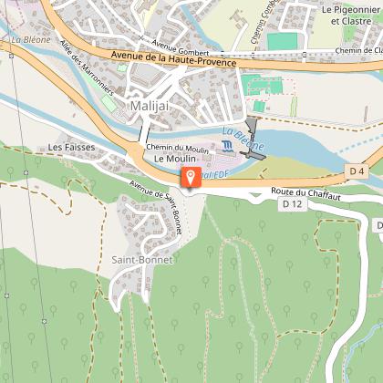
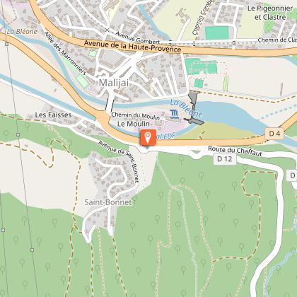
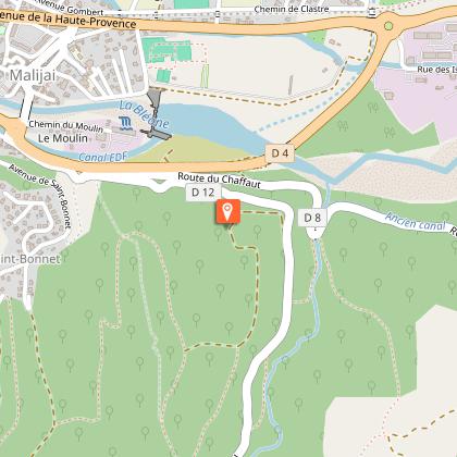
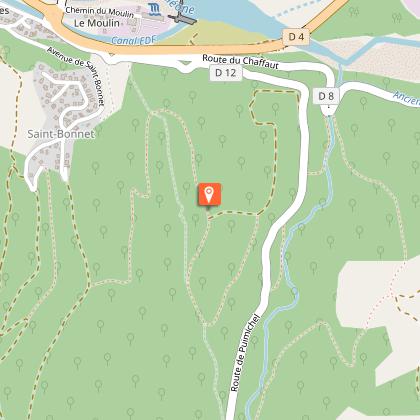
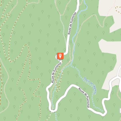
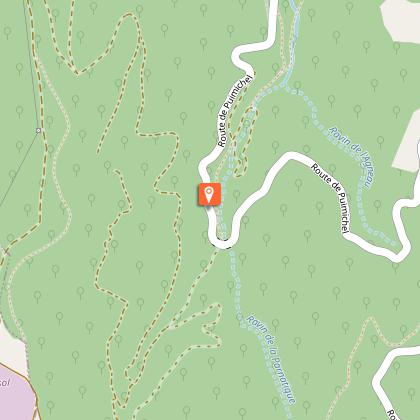
Joint departure with route n°10 over 10 km to reach the Haut Val, where the fields of solar panels are located, one of the largest in France. Then you will begin a magnificent descent through a beech forest to the starting point.
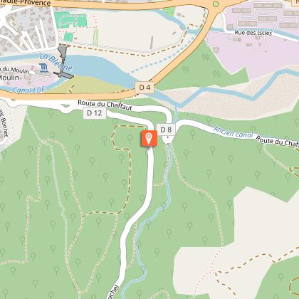
From the Malijai castle, the route quickly takes you on a tarmacked road with a steep slope that will definitely warm your legs! Then take a path that winds through the oaks, you will continue downhill on a long, very playful path until you reach the departmental road. A second tarmacked climb then you dive into the valley where a steep climb awaits you to reach the Haut Val. A real challenge to take on a mountain bike for non-electric bikers! Cross the Haut Val where the solar panel fields are located to tackle a long and pretty descent at the bottom of the valley that will take you back to the starting point.
Technical Information
Altimetric profile
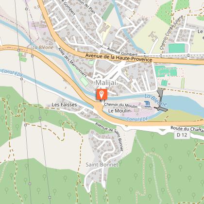
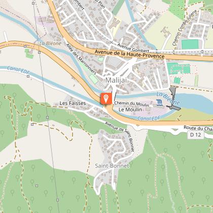
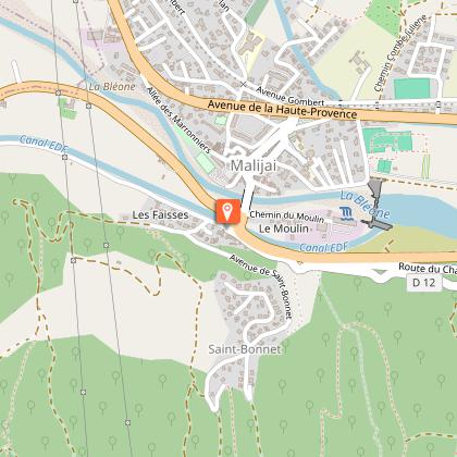
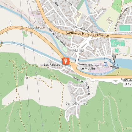
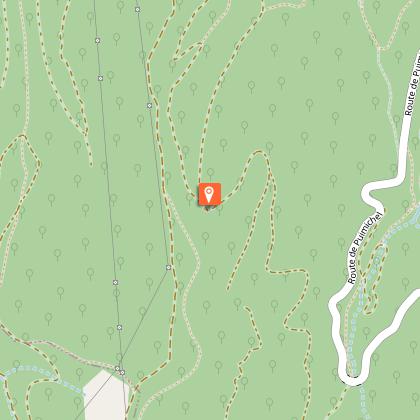
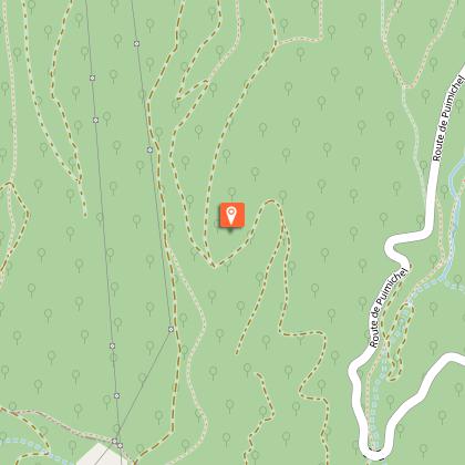
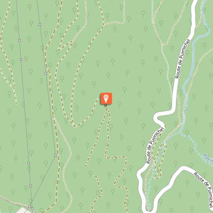
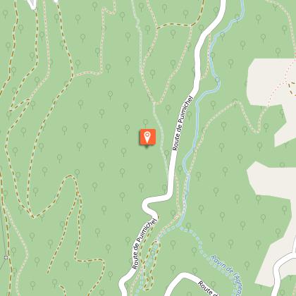
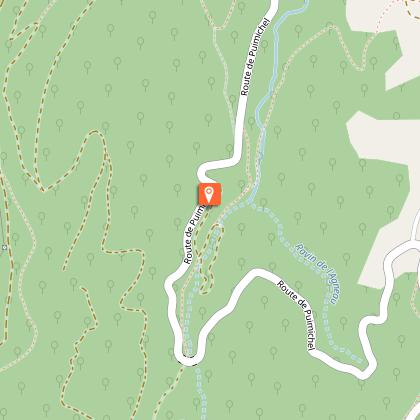
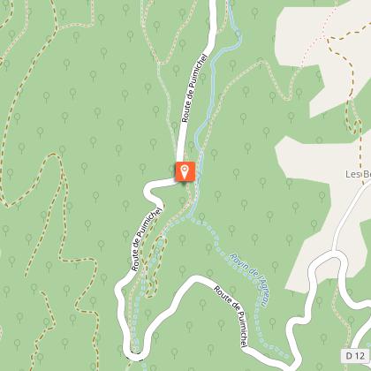
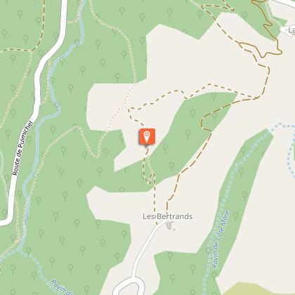
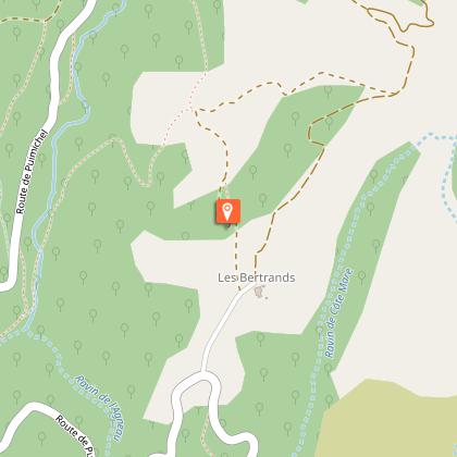
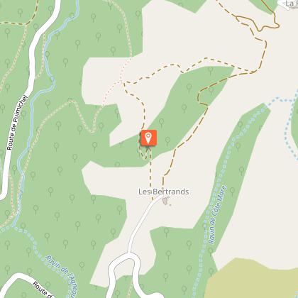
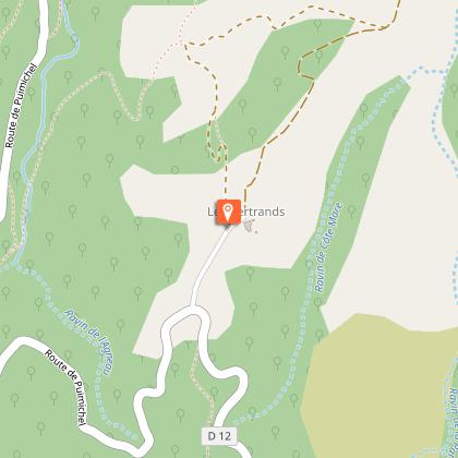
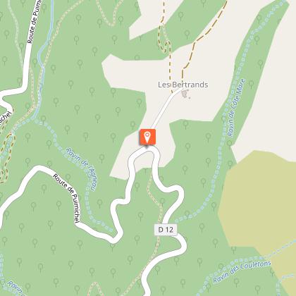
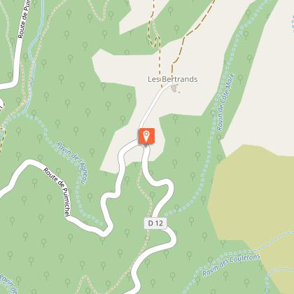
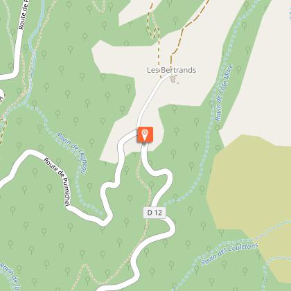
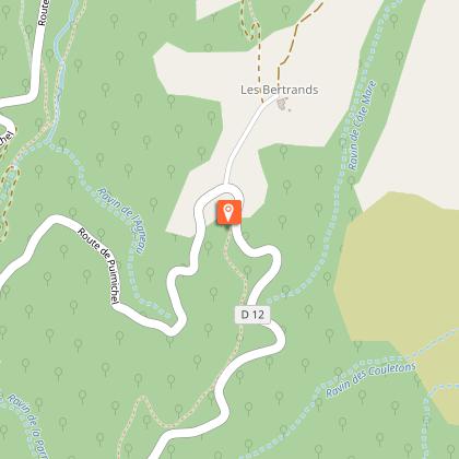
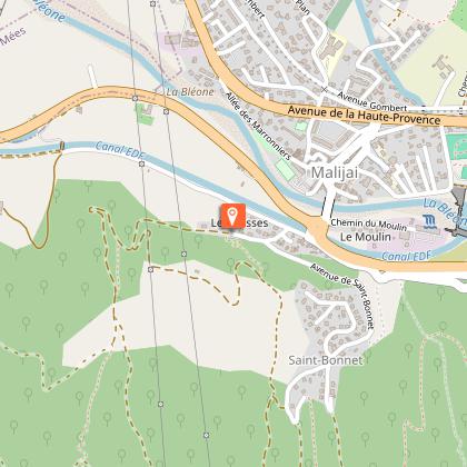
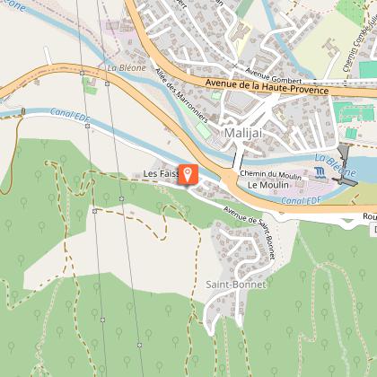
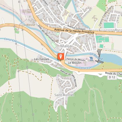
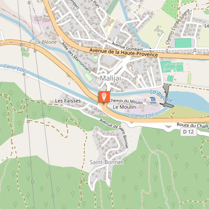
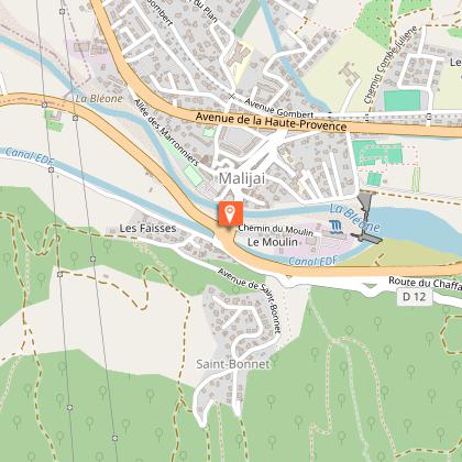
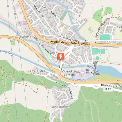
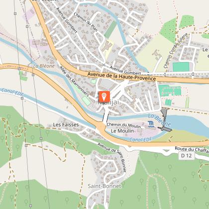
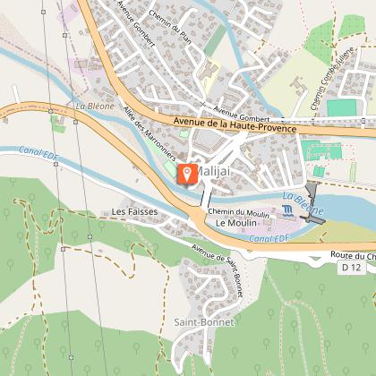
Starting point
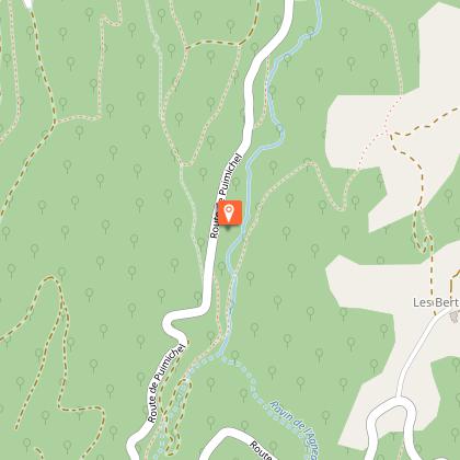
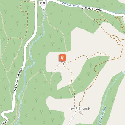
Steps


Additional information
Updated by
Office de Tourisme Provence Alpes Digne les Bains - 22/05/2025
www.dignelesbains-tourisme.com
Report a problem
Contact
Phone : 04 92 64 02 64
