Alert
Alerts
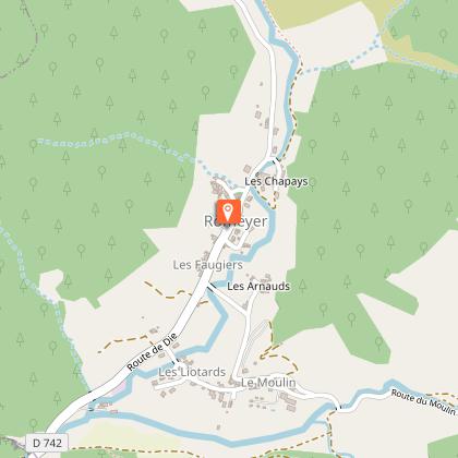
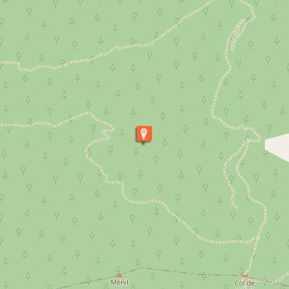
Merayon - Bonne Combe

Description
On the flanks of the southern fringe of the Vercors, the gentle ridge dotted with lavender, offers breathtaking views of the imposing cliffs of Glandasse and a remarkable beech forest with a return to the torrent bed.
Technical Information
Altimetric profile
Starting point
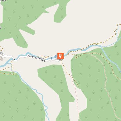
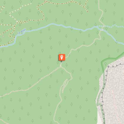
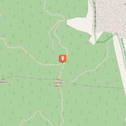
Steps
Additional information
Environments
Mountain view
Panoramic view
Forest location
Updated by
Conseil départemental de la Drôme - 24/06/2026
Report a problem
Open period
From 01/01 to 31/12 daily.
Contact
Phone : 04 75 22 03 03
Email : contact@diois-tourisme.com
Website : http://www.diois-tourisme.com
Animals
Yes
