Alert
Alerts
Around La Couvertoirade


Description
A trip outside La Couvertoirade, in an agropastoral landscape: ideal for understanding the daily life of inhabitants of this fortified village at the time of Templars and Hospitallers.Through the parking, you have to get the ramparts of the village at the north gate and go through the village on the left to join the church.You can leave the village by the small door of access located between the church and the castle. Walking up and down till Moulin de Redounel, you have to take down on the way back to the left along the ramparts to lavogne.Follow the road in left approximately for 250 m and to pass beyond a disused barn. To veer right on the track that rises smoothly on the tray. After a wide turn, it turns towards south and reaches 1 km, at a fork.To leave GR de Pays to go down in right through the pasture of 100 m, then to appear on a dirt track. To follow it towards west for 900 m and reach an intersection with the GR 71.To turn right on the stony path. Being narrow, it then widens and passes through a small oak wood. You have to go through the Boussière, then in a small meadow and continue through the hollow road that leads to the foot of the wall, facing the south gate.To enter the village through the south door and to the car park via the north door.
Technical Information
Altimetric profile
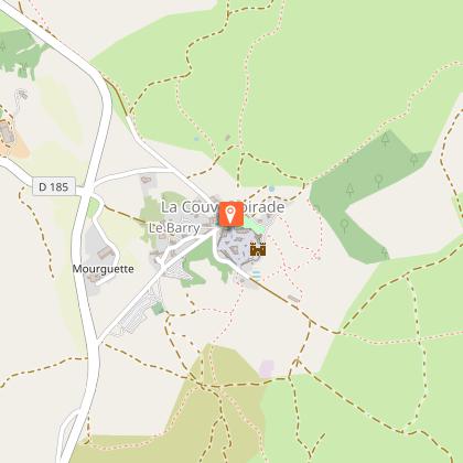
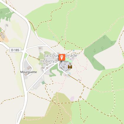
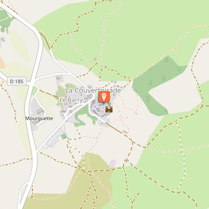
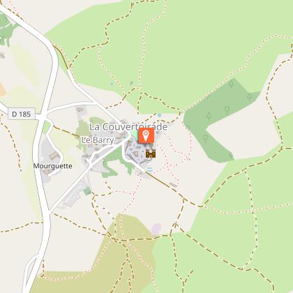
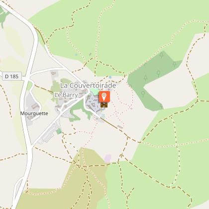
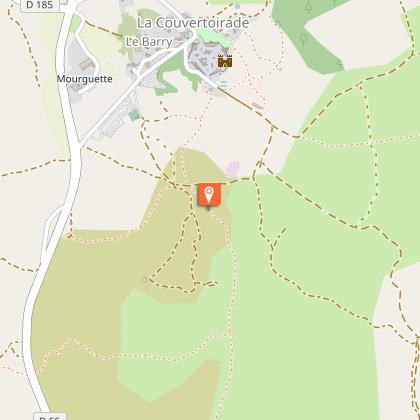
Starting point
Steps
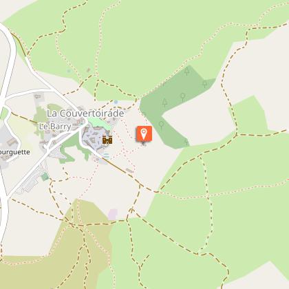
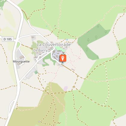
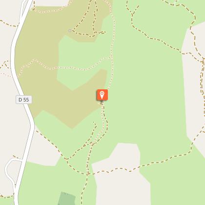
Points of interest


Additional information
Public transport
To find a means of transport go to Hérault transportThink about carpooling and hitchhiking: Rezopouce ; Aires de covoiturage
Advice
You cross sometimes classified areas, presenting protected species. Close the gate in the grazing area, don’t near the sheep, keep the animals on a leash. Stay on marked trails, respect private property and nature. Don’t pick flowers. Bring back your waste, take care of the risk of fires. Put on good shoes and take enough water. Check the weather forecast before leaving.
Is in the midst of the park
This itinerary is located in the World Heritage zone Causses and Cévennes, mediterranean agropastoral cultural landscape.
Advised parking
Parking at the entrance of the village
Access
La Couvertoirade, 42 km south-east of Millau by the D809 (or by the A75 motorway) and the D185
Arrival
Parking at the entrance of the village
Ambiance
The climb to the Larzac causse allows to relocate the jewel of la Couvertoirade in its natural setting. In an arid site shaped by the sheep breeding, the “lavogne” (cobbled watering place) and tank-roofs bear witness to a “caussenarde” architecture dedicated to the water canalization. A whole typical heritage refers to the historic building of the Templar city.
Departure
Parking at the entrance of the village
Data author
