Alert
Alerts
Pic Nord des Cavales (3,158 m)
Description
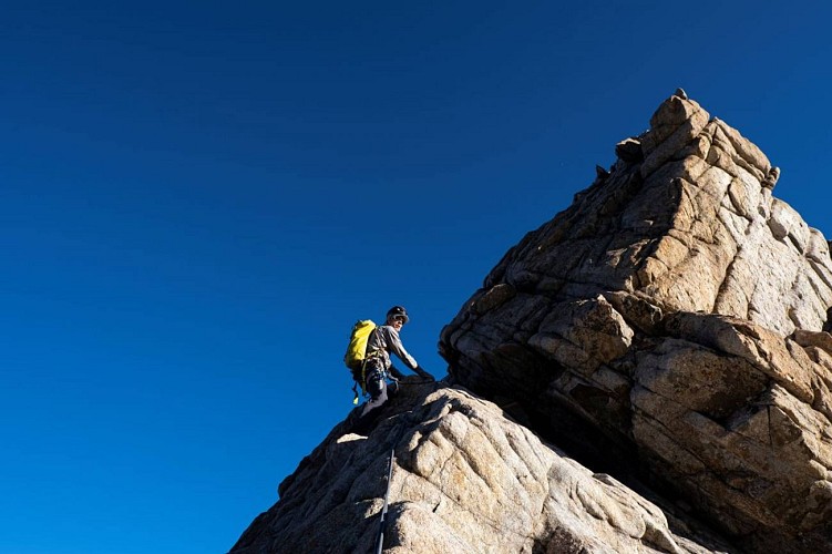
The Pic Nord des Cavales is an impressive granite monolith that has always attracted climbers thanks to its situation and the quality of its rock.
This climb offers the opportunity to tackle high-mountain climbing on excellent rock. Slabs, deep fluting, precipitous arête... all offering a fun and not overly intensive itinerary. According to their level and experience, climbers can make the most of an easy terrain to practise picking out the line of their route according to the difficulty presented by the various sections.
Technical Information
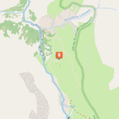
Altimetric profile
Starting point
Steps
Additional information
Updated by
Parc national des Écrins - 15/03/2026
www.ecrins-parcnational.fr/
Report a problem
Tips
For this short, rocky climb, you need to deploy all the basics not only of roped progression on rocky terrain, but also those of downclimbing and rappelling. It is possible to complete the climb with a 50m rope, limiting the rappels to 25m, but two 50m strands allow for an easier descent with longer rappels. It is also possible to complete the climb starting from the Vénéon valley and from the Refuge du Châtelleret in the Étançons valley. This option is more demanding and involves a long approach walk over high-mountain terrain crossing the Col du Clot des Cavales. It is equipped with wires and is clearly waymarked in green; the easy sections are equipped with anchor points (bolts) allowing for effective belayed progression. Note that the route does not run through the geographical col, but via the notch 3,196 m slightly to the north of the Col du Clot des Cavales. Take care not to stray from the waymarked and wired route in low snow cover conditions (unstable and hazardous terrain). Of course, it is possible to envisage the itinerary as an A to B route in the direction Vénéon/upper Romanche (the simplest).
Is in the midst of the park : The national park is an unrestricted natural area but subjected to regulations which must be known by all visitors.
Location complements
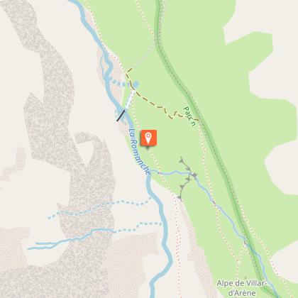
Departure : Le Pied du Col, Villar-d'Arêne.
Arrival : Le Pied du Col, Villar-d'Arêne.
Road access : From Villar-d'Arêne, which can be accessed via the D1091 from Le Bourg d'Oisans or Briançon, take the minor D207 road toward Le Pied du Col. At the first intersection turn right and follow this road for 1.25 km to the Pont d'Arsine (bridge). Cross the bridge and take the first track on the right. Follow this for 1.5 km until it comes to an end and park in the car park 1,714 m..
Parking recommended : Car park at Le Pied du Col, Pont d’Arsine bridge .
Public transport : Bus line Grenoble - Briançon, via Col du Lautaret :
carsisere.auvergnerhonealpes.fr/
www.itinisere.fr/
zou.maregionsud.fr/ .
Reception complements
Hard
Guidebook with maps/step-by-step
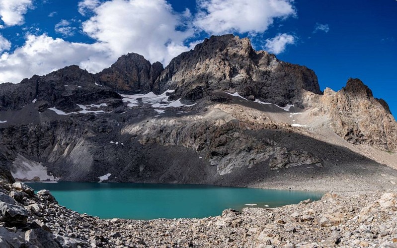
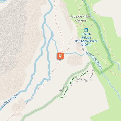
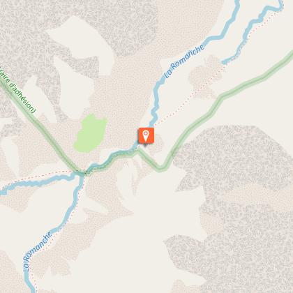
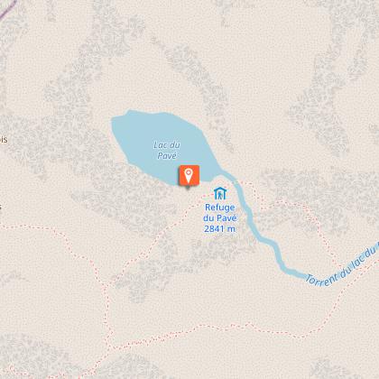
At first, the route follows the GR 54, then leaves it in the Pas d'Anna Falque to join the right bank of the Romanche. At the Valfourche bridge, continue on the left bank of the Torrent des Cavales. There are two ways to reach the Pavé hut : stay on the edge of the moraine and follow the path to the bottom of the valley, then cross horizontally to the right (heading north-east) to reach the hut, or descend into the talweg formed by the moraine to the right and follow a steep path that slopes over the rocky bars (cables) that defend the entrance to the Cirque du Pavé (faster but tricky).
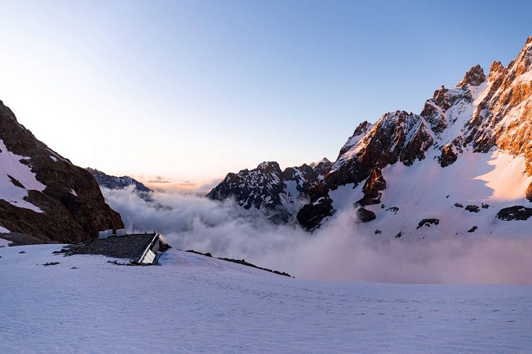
The mountaineering route starts on the second day from the Pavé refuge to the summit of the Pic Nord des Cavales.
