Alert
Alerts
Type of practice
Walking
Medium
3h30mn
Presentation
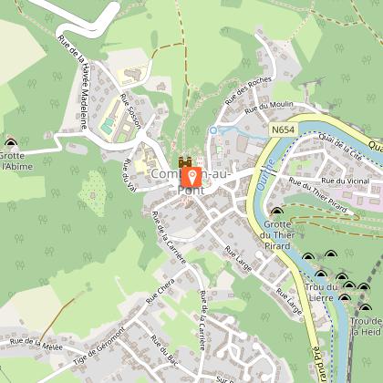
Map
Steps
Ratings and reviews
See around
Roches Noires-Four à Chaux – Mont – Poulseur - Canal de l’Ourthe - Rivage


IGN cards


Technical Information
Walking
Difficulty
Medium
Duration
3h30mn
Dist.
13 km
Type of practice
Walking
Medium
3h30mn
Show more
Altimetric profile
Starting point
7
Place Leblanc
,
4170
Comblain-au-Pont
Lat : 50.47539Lng : 5.57487
Additional information
Designer
The route was designed by RSI Comblain Poulseur
Signalétique (EN)
N1 (Pedestrian) - Red
Data author

proposed by
Maison du Tourisme Ourthe-Vesdre-Amblève
Ratings and reviews
To see around