Alert
Alerts
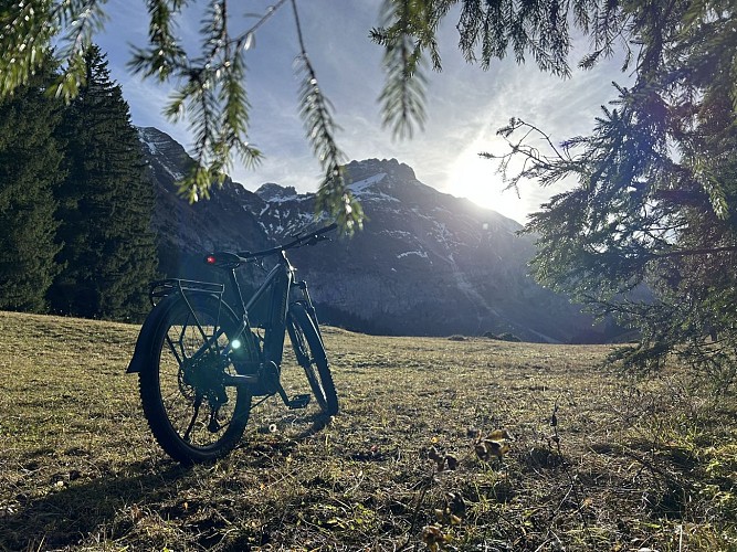
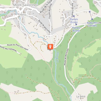
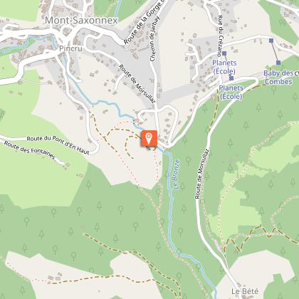
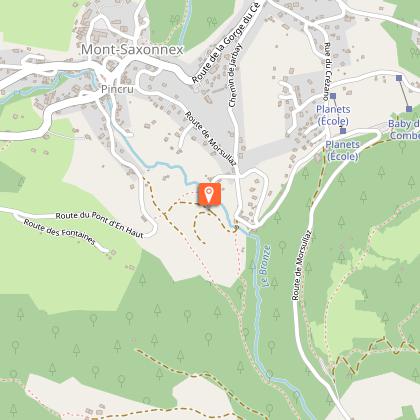
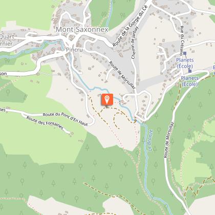
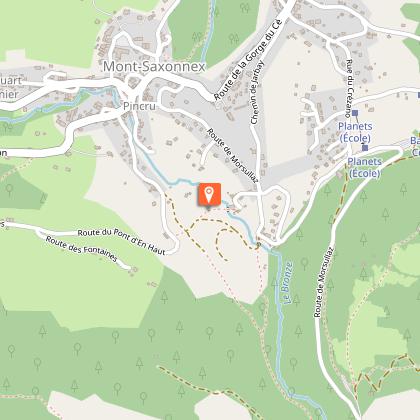
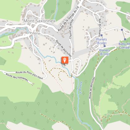
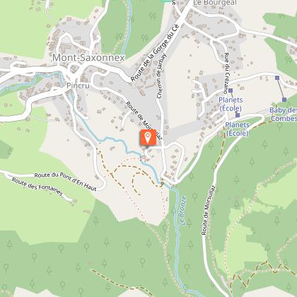
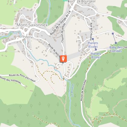
MTB looping - Mont-Saxonnex
1 alert on this circuit
Visitor alert
This mountain bike route is only available in summer, when the ski area is closed and snow conditions permit.
IGN cards


Description
Discover our brand new 12 km loop starting from the Tourist Office. A flexible itinerary with escape routes available at all times, ideal for experienced mountain bikers in search of thrills and raw nature. To your handlebars!
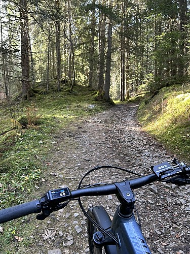
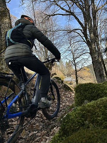
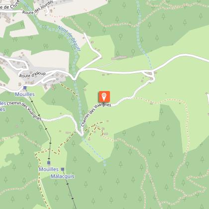
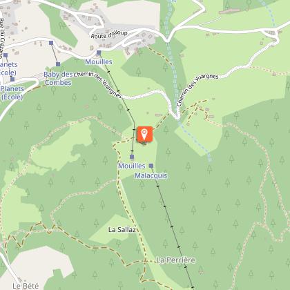
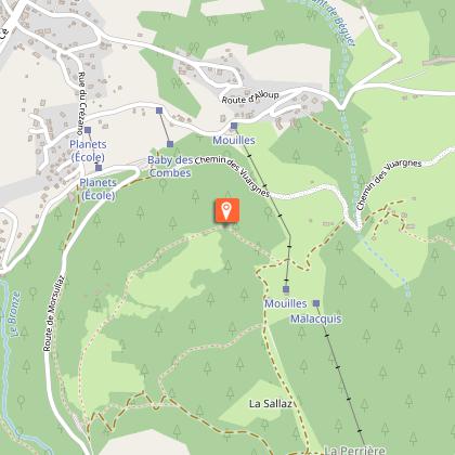
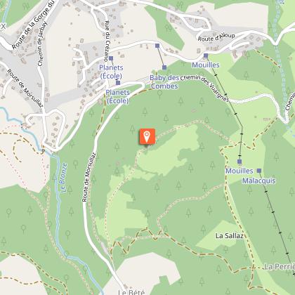
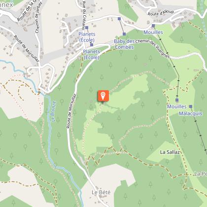
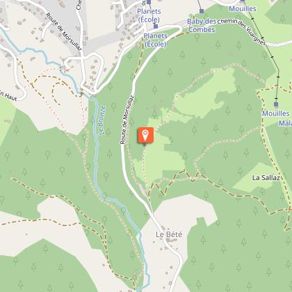
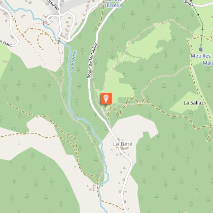
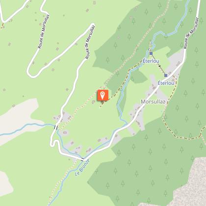
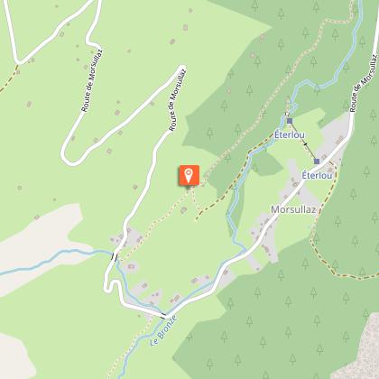
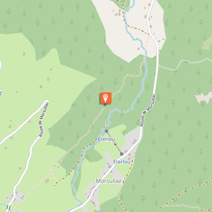
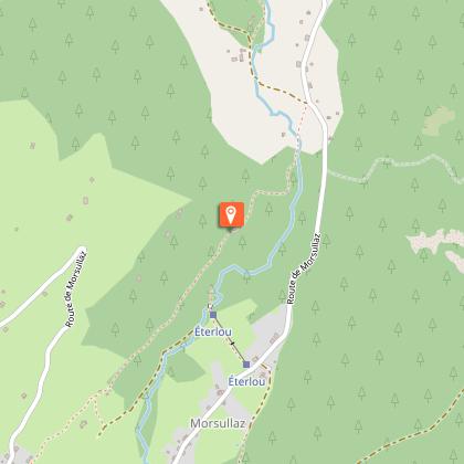
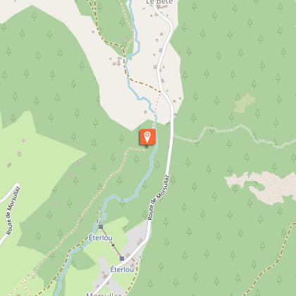
An initial rolling section on roads and country lanes to take in the sights as far as Les Vuargnes. Plunge down to Morsullaz via balconies, between meadows and forests, for a more challenging riding session.
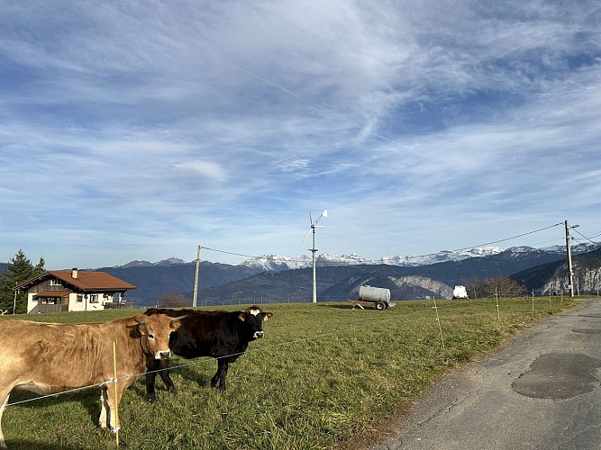
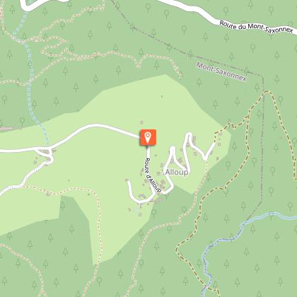
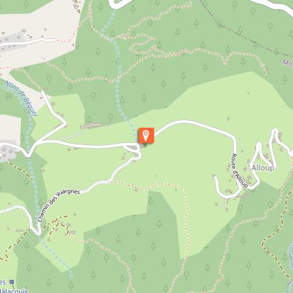
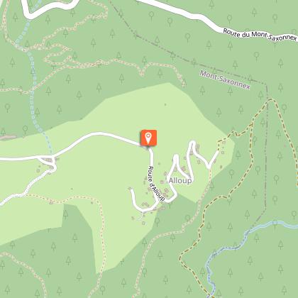
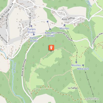
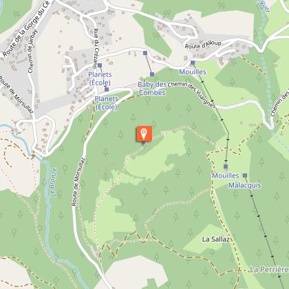
Departure from the Tourist Office in the direction of Gorges du Cé: after the bakery, turn right onto Route d'Alloup for a gradual climb offering a view over the valley. Then take a narrow path on your right, leading briefly to a house (authorized passage), before opening out onto a flat, rolling section through fields, offering a breathtaking view of the Massif du Môle (weather permitting).
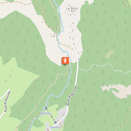
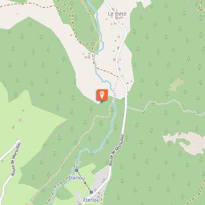
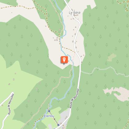
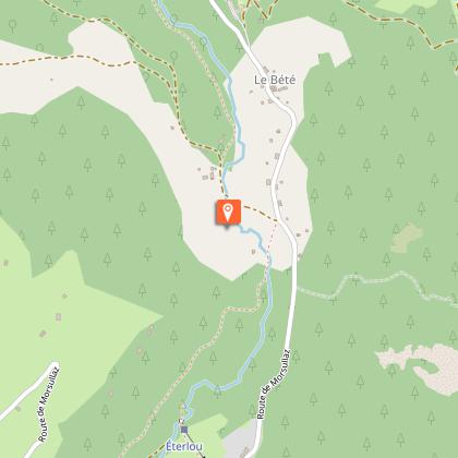
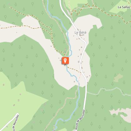
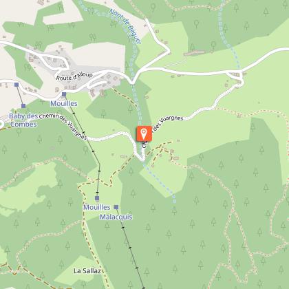
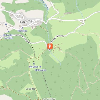
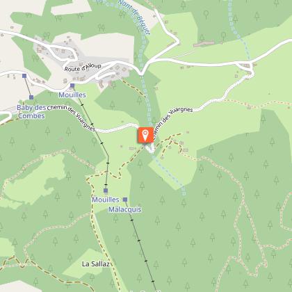
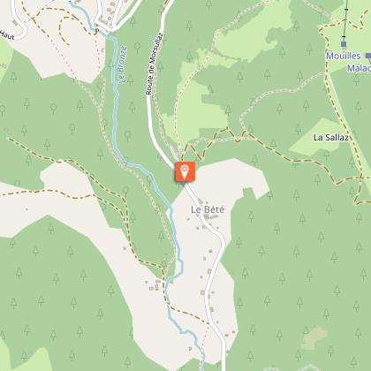
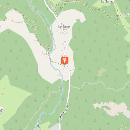
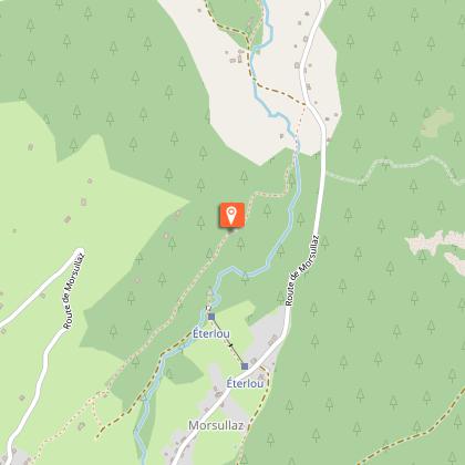
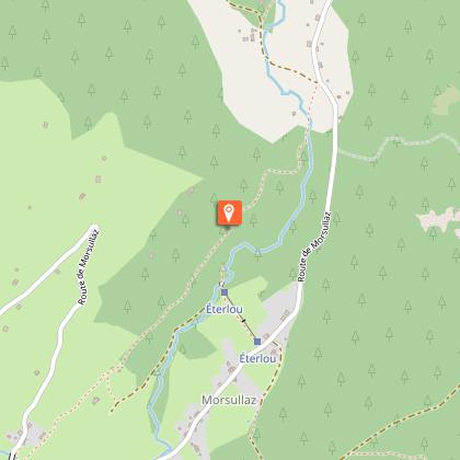
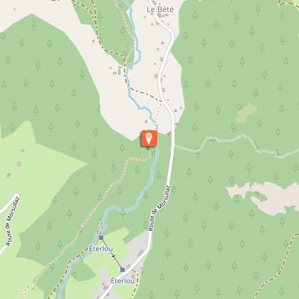
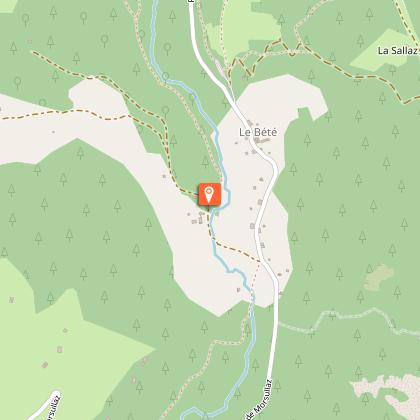
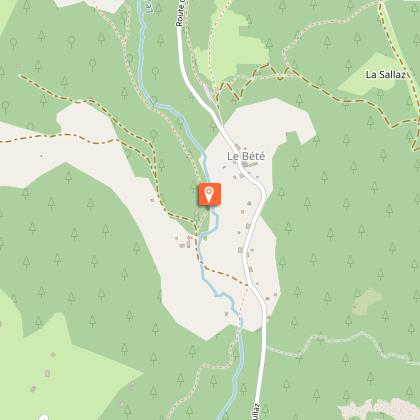
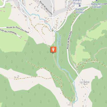
After passing a hamlet of houses, pick up the Chemin des Vuargnes, cross a stream and tackle a technical climb via the red piste des Gentianes, below the ski lift. At the uphill crow's-foot, fork right for a long stretch through forest and fields to the Bété parking lot. Take the asphalt road on the left, then the Chemin des Converchons on the right towards Morsullaz. Once in the forest, go straight on towards Morsullaz, then continue uphill along the hedge of the first house on your right. At the second house, take the passage along the front of the house to the right, then turn right to pick up the return path. Cross a clearing, pass the Gouille oratory, and descend to the Buttex bridge. Before the bridge, turn left onto Chemin de la Scierie, and continue downhill to return to the Tourist Office.
Technical Information
Altimetric profile
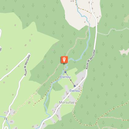
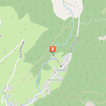
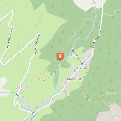
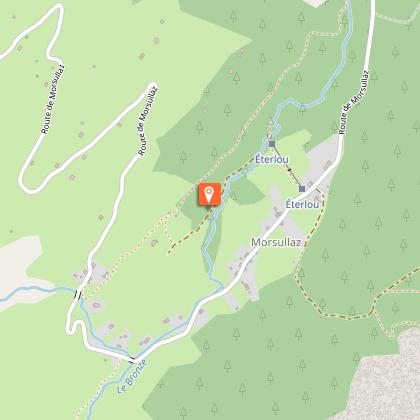
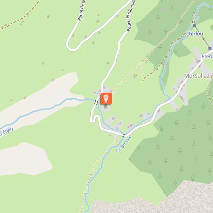
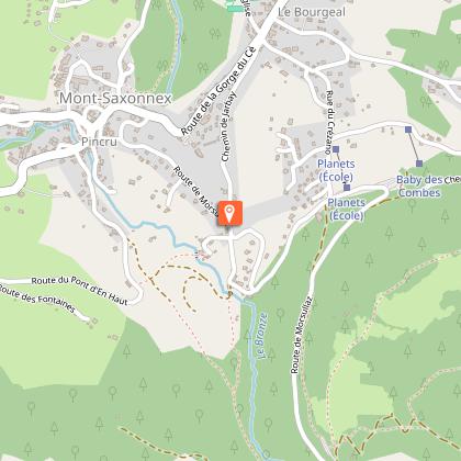
Starting point
Steps


Date and time
- From 15/04/2026 to 15/11/2026
- From 15/04/2027 to 15/11/2027
Additional information
Updated by
Cluses Arve & montagnes Tourisme - 12/12/2025
www.cluses-montagnes-tourisme.com
Report a problem
Environments
Mountain view
Panoramic view
Open period
From 15/04 to 15/11 daily.
Contact
Phone : 04 50 96 97 27
Email : tourisme@cluses-montagnes.com
Website : http://www.mont-saxonnex.info
Type of land
Stone
Ground
Hard coating (tar, cement, flooring)
Grit
Reception complements
The repair kit and charging station are located outside, next to the Tourist Office.
Animals
Yes. Keep dogs on a leash on hiking trails and near dwellings.
Data author
