Alert
Alerts
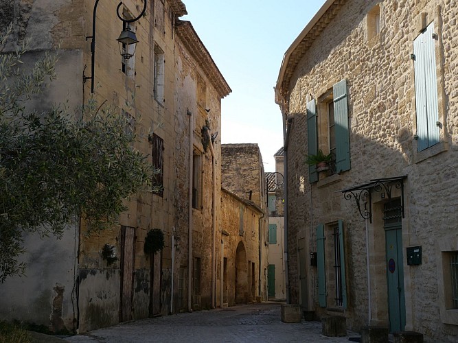
Around the Pont du Gard
Description
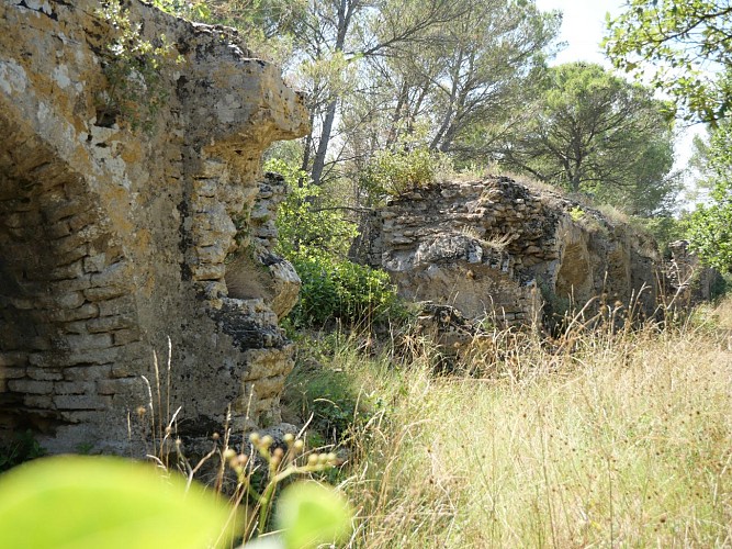
Nice family hike through the woods to discover the ancient remains of the Roman Aqueduct up to the Pont du Gard. This walk plunges you into the scrubland, the olive groves, the dry stone walls, the forests of green oaks...
From the Place de la Madone parking lot in Remoulins :
Go up the street near the Tourist Office (Place des grands jours) and cross the Remoulins new bridge.
At the traffic circle, turn right and drive past the Communauté des Communes building.
At the "Combe Pradier" sign, turn left and head towards "le sablas" for 2.5 km (uphill).
At the "le sablas" sign, continue straight ahead on the GR6 (red and white markings) for 500m.
At the "Valmale" signpost, turn right and continue on the GR6 (red and white markings) for 1.5 km.
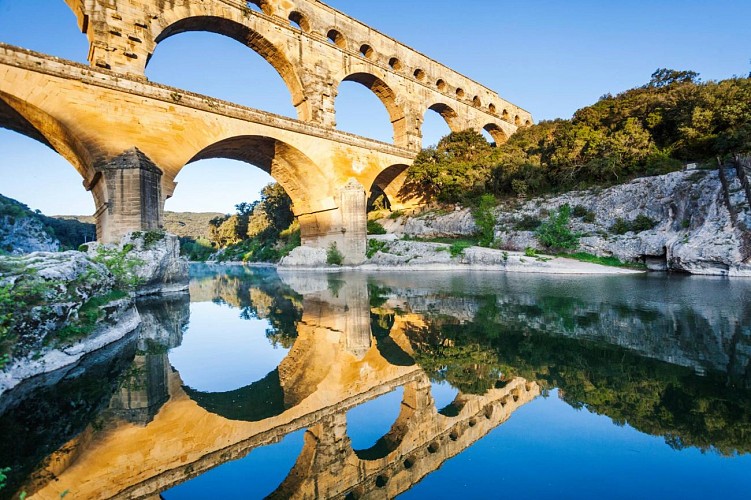
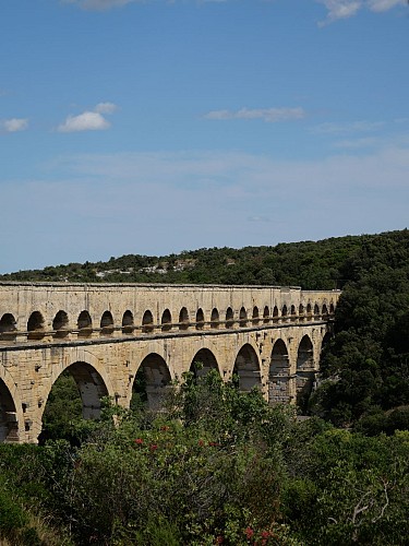
You'll come across remains of the Aqueduct on your way and a superb panorama of the Pont du Gard.
Descend the path to reach the monument.
To return : Right bank, turn right "Pont du Gard" for 500m.
Pass the ticket office and take the path on the right at the "Combe de Roussière" sign.
Then join the path alongside the road, which leads back to the village of Remoulins for 2.5 km.
Technical Information
Altimetric profile
Starting point
Additional information
Updated by
Destination Pays d'Uzès Pont du Gard - 20/11/2025
www.uzes-pontdugard.com
Report a problem
Open period
All year round daily.
Contact
Phone : 04 66 22 68 88
Email : info@uzes-pontdugard.com
Website : http://www.uzes-pontdugard.com
Type of land
Rock
Ground
Hard coating (tar, cement, flooring)
Topo guides and map references
Topo guides references :
Between Rhône and Gardon
Map references :
IGN map: Ref. 2/17
Animals
Yes
