Alert
Alerts
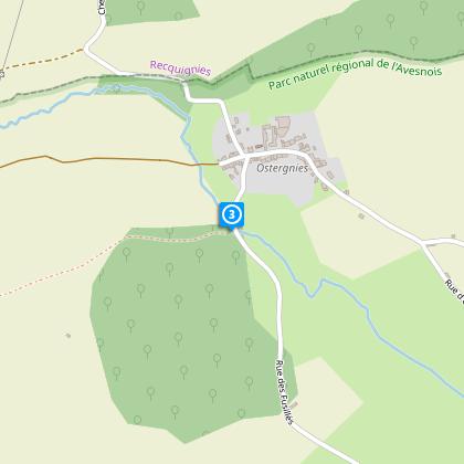
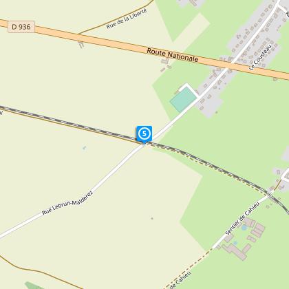
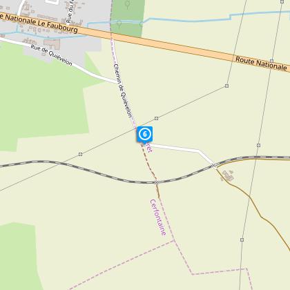
Ostergnies Circuit

The Cirkwi brief
Embarking on this journey through the scenic pathways of Avesnois will uncover the serene beauty tucked away in the lush valleys. Crafted by Nord Tourism, this itinerary promises an escape into tranquility, inviting hikers to explore winding, wooded roads and quaint villages that seem to have sprung from a painting. The trail, while primarily peaceful, may require sturdy footwear due to its varying terrain, ensuring each step taken adds to the adventure of discovering landscapes untouched by the rush of modern life. This route is not just a walk but a narrative of nature's untouched beauty.
Technical Details of the Trail
The trail spans approximately 10.24 kilometers, meandering through varying altitudes from 146 meters at its lowest to 188 meters at its peak. With a total positive elevation gain hovering around 103 to 104 meters, it requires a moderate level of fitness. These elements combined make for a moderately challenging yet immensely rewarding experience, especially for those seeking to immerse themselves in nature while also engaging in physical activity. Such a configuration guarantees a fulfilling journey through Avesnois' captivating landscapes.
Seasonal Advice for Hikers
In spring and autumn, the paths of Avesnois come alive with vibrant colors, though trails can be muddy; sturdy, waterproof boots are an essential. Summer offers extended daylight for longer adventures, but always carry water to stay hydrated. Winter requires caution - icy paths necessitate proper footwear for grip. Regardless of the season, checking weather forecasts and daylight hours is crucial for a safe journey through these picturesque landscapes. Respect the local flora and fauna, ensuring the beauty of Avesnois remains undisturbed for future visitors.
A Glimpse into Avesnois' Heritage
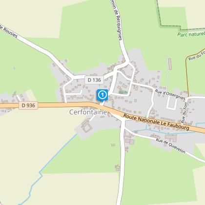
CERFONTAINE, the starting point of this serene journey, is nestled in the heart of Avesnois, a region steeped in history. Its landscape, shaped by centuries of agricultural and industrial activity, tells stories of a bygone era. The region's rich cultural tapestry is woven with tales of resilience and community, making every step through its villages a step back in time. The varied elevations not only provide breathtaking views but also recount the geological evolutions that have sculpted this part of France, inviting travelers to explore the depth of its past.
Weather Patterns and Best Visit Times
The Avesnois region, characterized by a temperate climate, presents mild, pleasant summers and cool, sometimes brisk winters. Rainfall is fairly distributed throughout the year, making any season a good time to explore. However, for an ideal hiking experience, late spring to early autumn offers the most comfortable weather conditions - warm days and cool nights. During this period, the natural landscape is at its most vibrant, providing not only stunning views but also optimal conditions for hiking enthusiast.