Alert
Alerts
Tour sportif de la Tournette - Cycling route

Description
This loop winds its way between the lake and the Aravis valleys, taking in the famous Col de la Croix Fry.
Points of interest
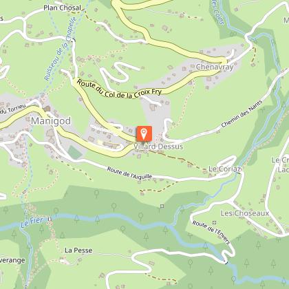
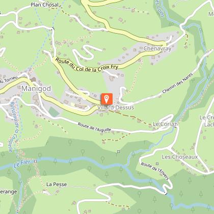
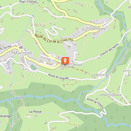
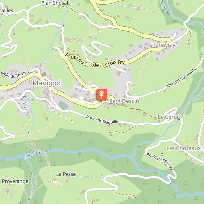
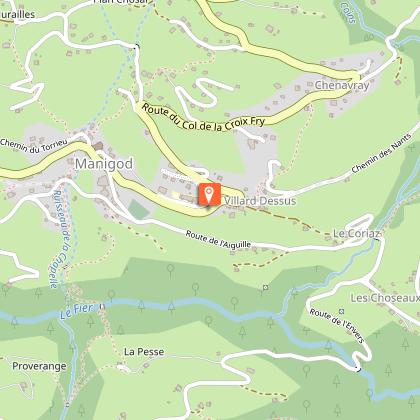
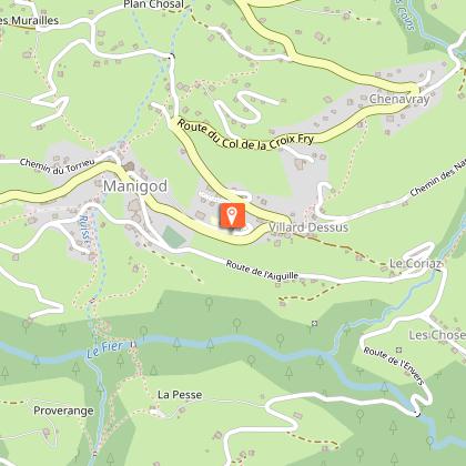
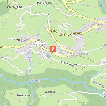
The descent from the Col de la Croix-Fry, which plunges down to the small village of Manigod, is full of beautiful curves. Not forgetting the Col du Marais and the Cols de la Forclaz and de Bluffy, climbed on the alternative route.
Cycling tip
Keep your pedal to the metal if you're aiming for the steep variant of La Forclaz.
Technical Information
Altimetric profile
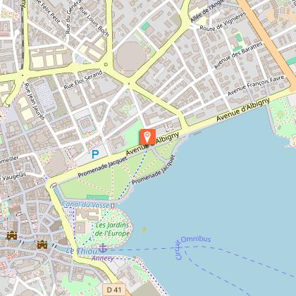
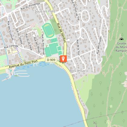
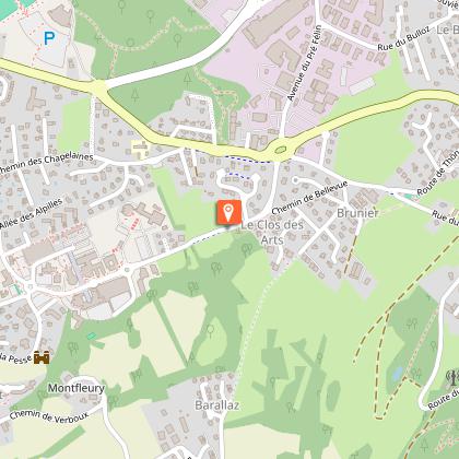
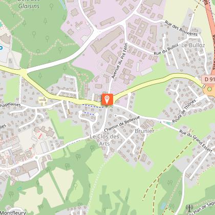
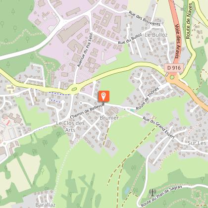
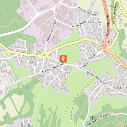
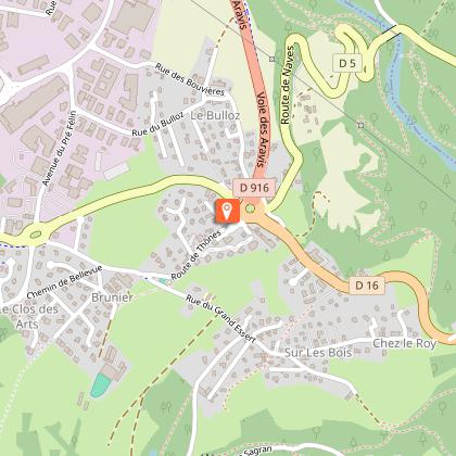
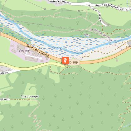
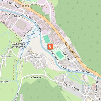
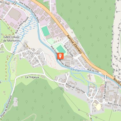
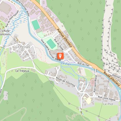
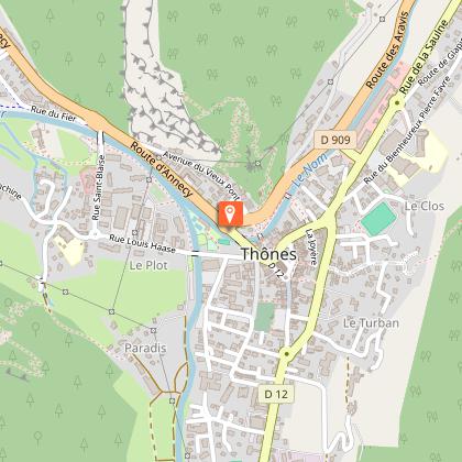
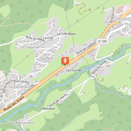
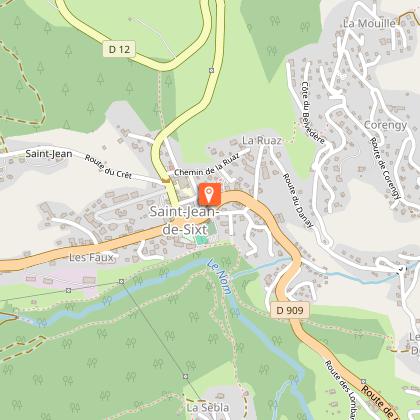
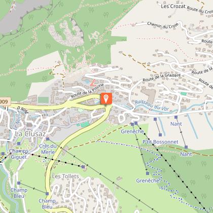
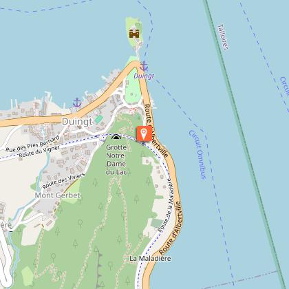
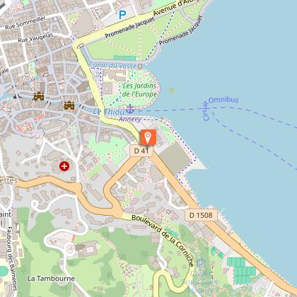
Starting point
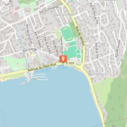
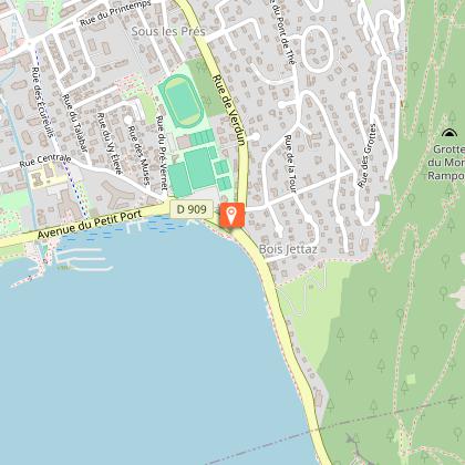
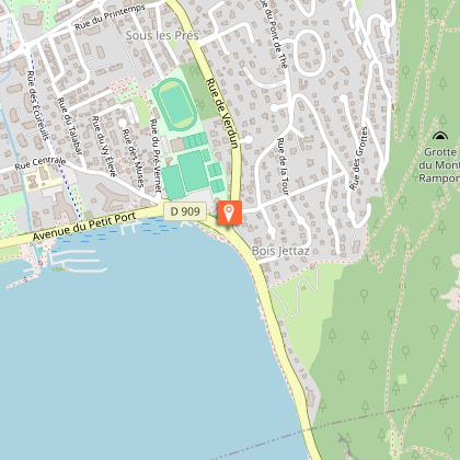
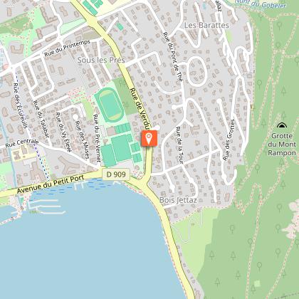
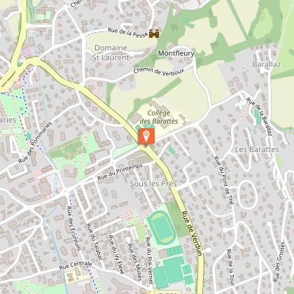
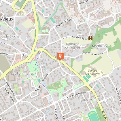
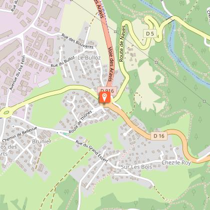
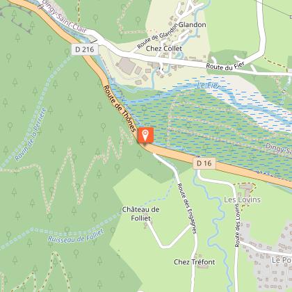
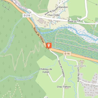
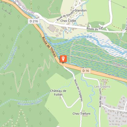
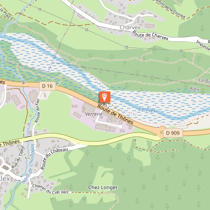
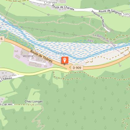
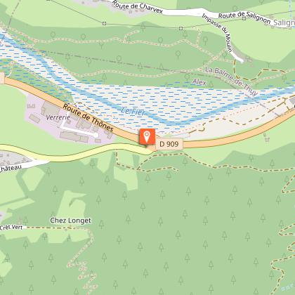
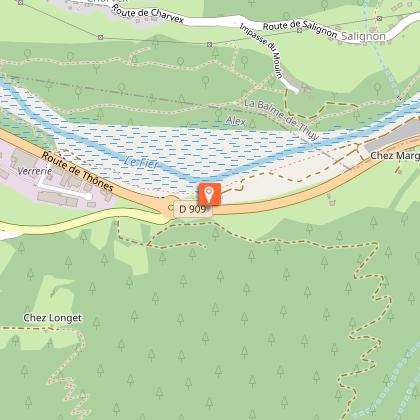
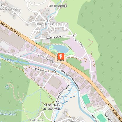
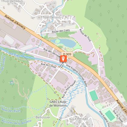
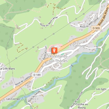
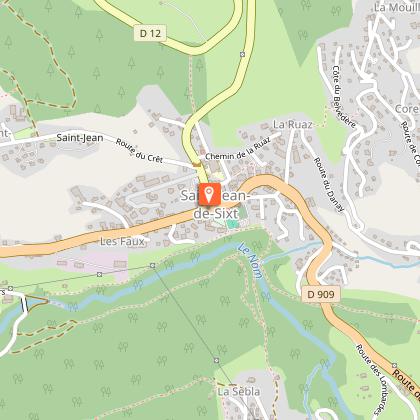
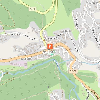
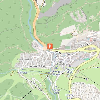
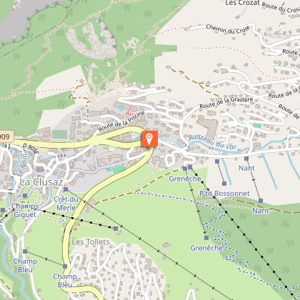
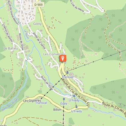
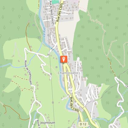
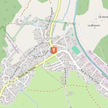
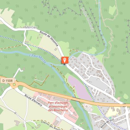
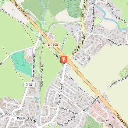
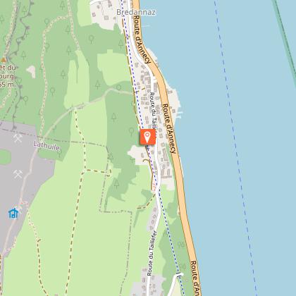
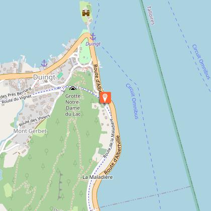
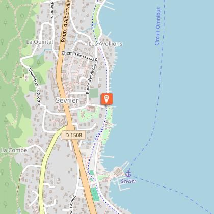
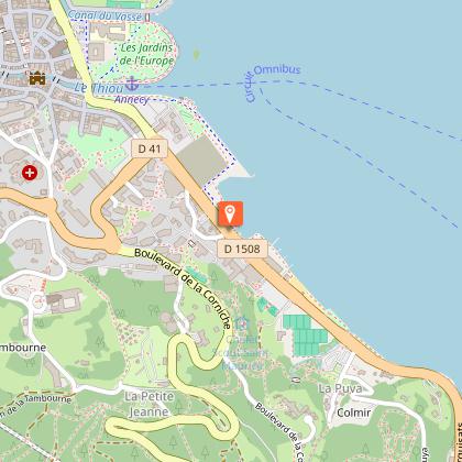
Steps

Additional information
Updated by
Office de Tourisme du Lac d'Annecy - 29/11/2025
www.lac-annecy.com
Report a problem
Open period
All year round.
Subject to favorable snow and weather conditions.
Contact
Phone : 04 50 45 00 33
Email : info@lac-annecy.com
Website : https://www.lac-annecy.com
Facebook : https://www.facebook.com/lacannecy.tourisme
Data author
