Alert
Alerts
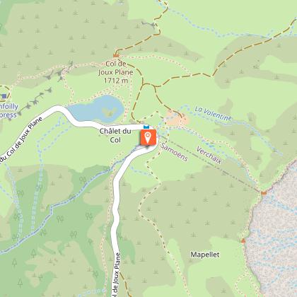
Road Bikes - Col de Joux Plane

Description
In cycling circles, the Joux-Plane pass is reputed as being one of the six most challenging passes in the French mountains, along with the Galibier, Izoard, Alpe d'Huez, Mont Ventoux and Tourmalet ascents.
This pass has often been a judge of peace for the riders of the Tour de France© and the Dauphiné Libéré©. Its ascent by bike from Samoëns, apart from the sporting performance which requires good training, is an opportunity to ride over a marvellous balcony overlooking the valley, then towards the Mont-Blanc massif in its most majestic profile... The road is closed to heavy goods vehicles and is not a major traffic artery, much to the delight of cycle tourists.
A few technical details:
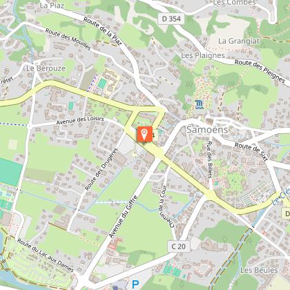
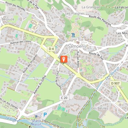
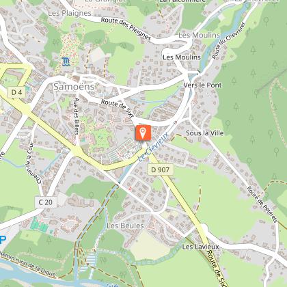
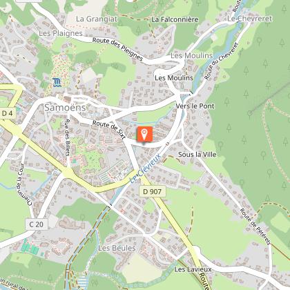
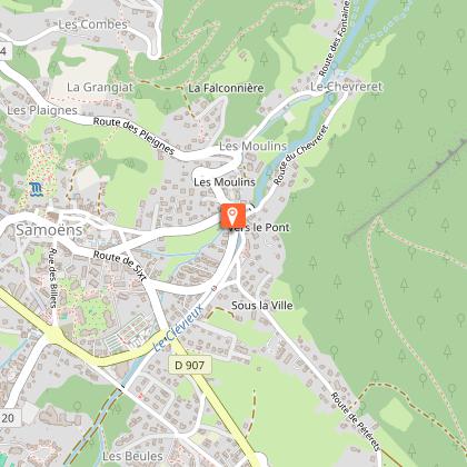
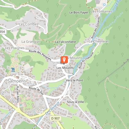
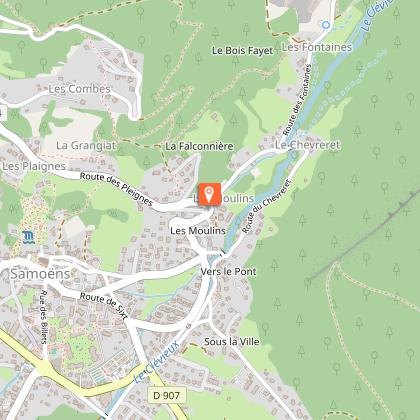
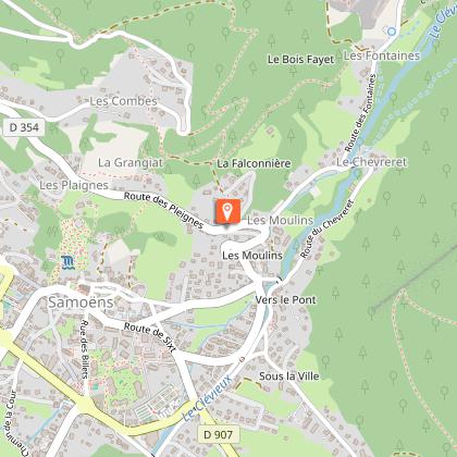
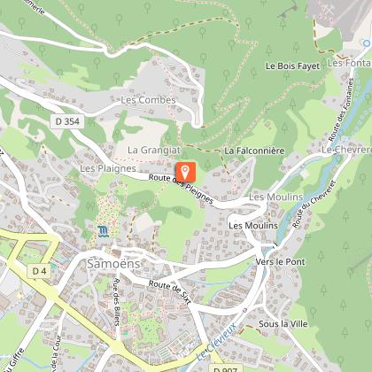
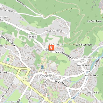
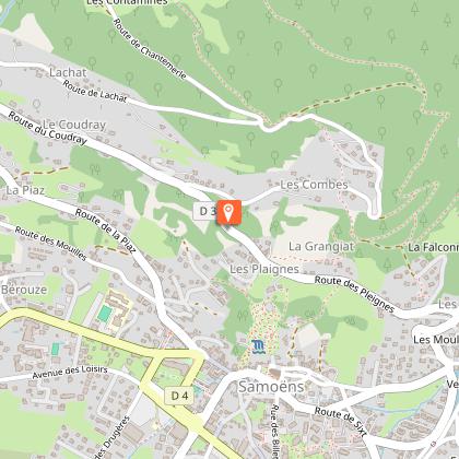
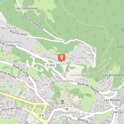
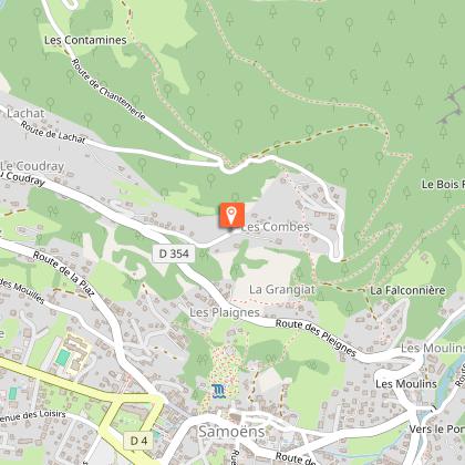
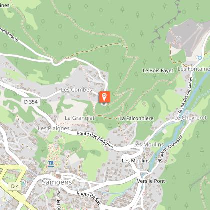
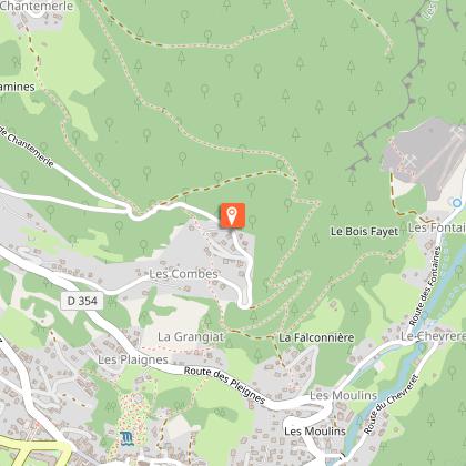
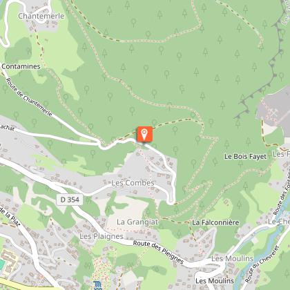
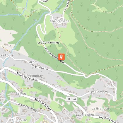
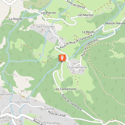
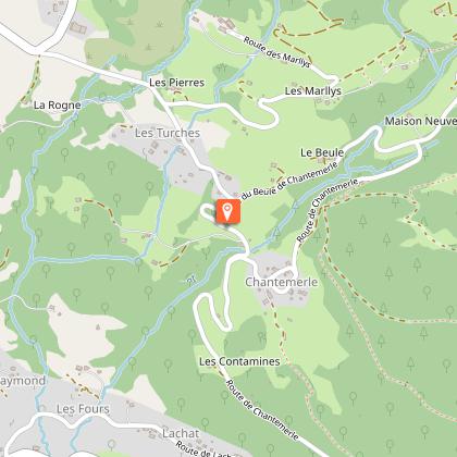
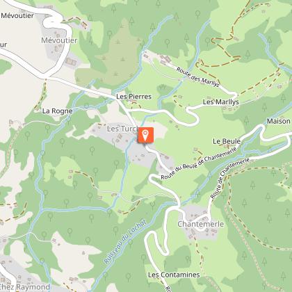
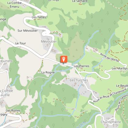
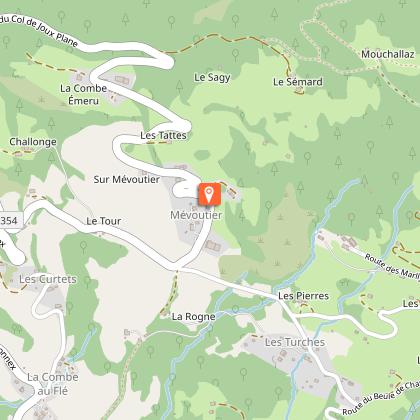
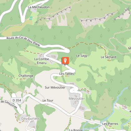
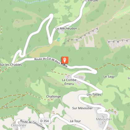
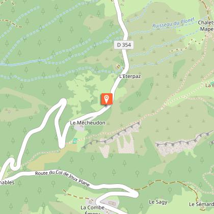
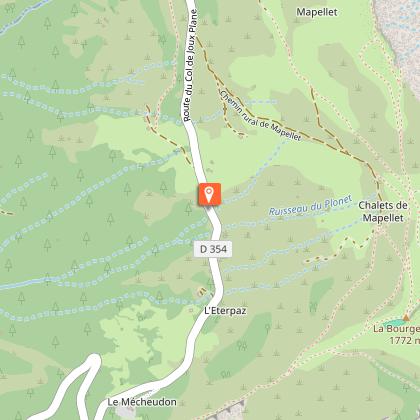
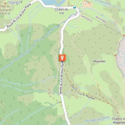
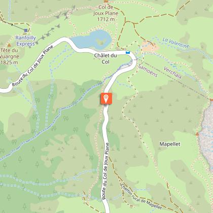
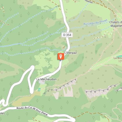
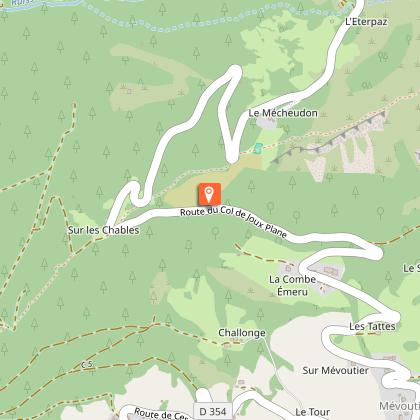
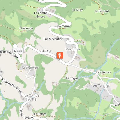
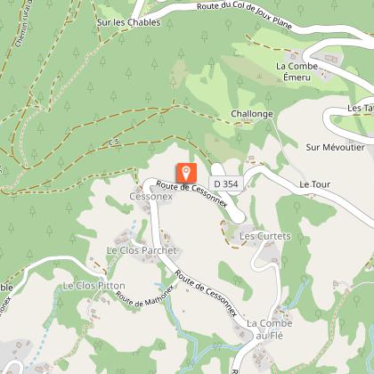
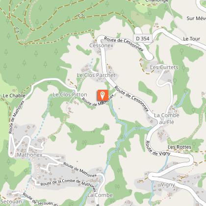
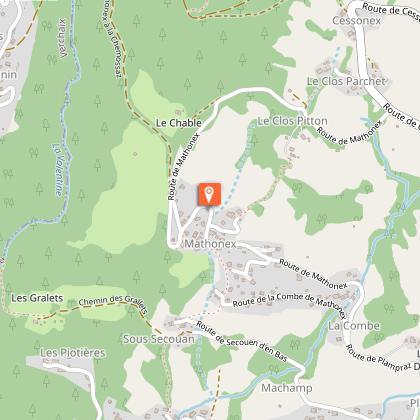
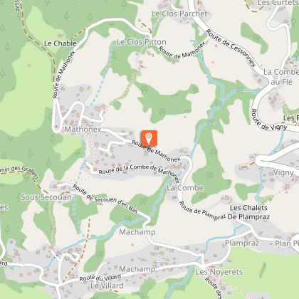
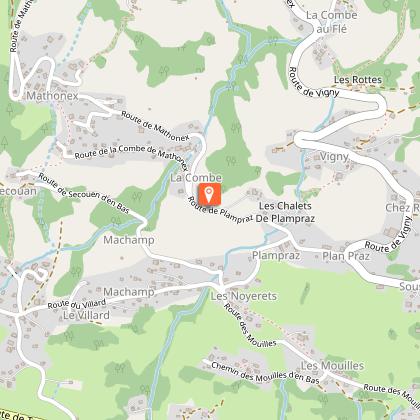
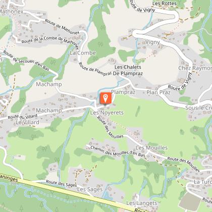
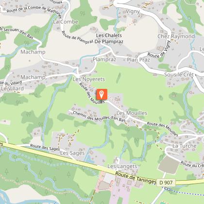
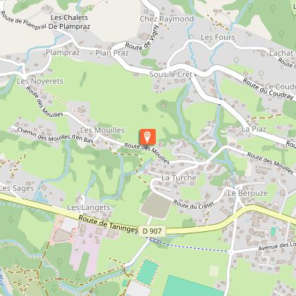
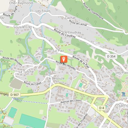
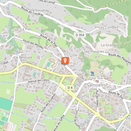
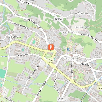
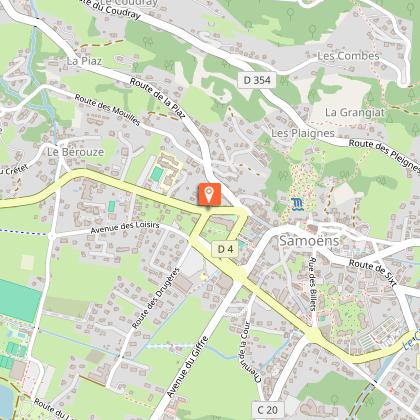
The route presented here starts from Samoëns and follows the D354 road.
Departure altitude: 696 m
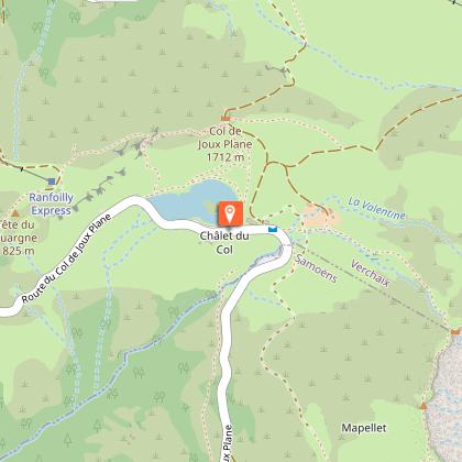
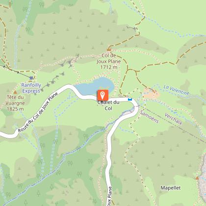
Arrival altitude at pass: 1684 m
Elevation gain: 990 m for a distance of 13.1 km, with an average gradient of 7.4%, but with passages of over 10%.
Difficulty: very difficult.
Technical Information
Altimetric profile
Starting point
Steps
Points of interest

Date and time
- From 20/04/2026 to 15/12/2026
- From 20/04/2027 to 15/12/2027
Additional information
Updated by
Office de Tourisme de Samoëns - 29/04/2026
www.samoens.com
Report a problem
Environments
Mountain location
Open period
From 20/04 to 15/12 daily.
The pass is closed in winter and used for Nordic skiing etc. The road may be closed for road works at other times of the year: check with the Tourist Office for information.
Contact
Phone : 04 50 34 40 28
Email : infos@samoens.com
Topo guides and map references
Map references :
There is no specific map. Downloadable routes and GPX tracks are available on the destination website.
Type of land
Hard coating (tar, cement, flooring)
Location complements
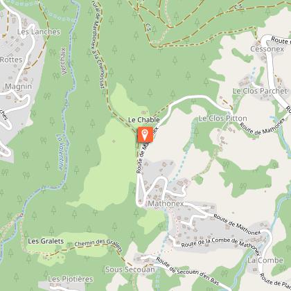
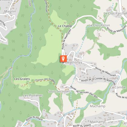
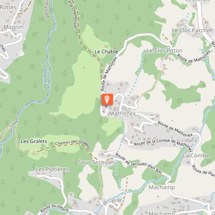
There are 3 possible starting points: Le Villard and Mathonex (the shortest route); the centre of the village (the main route); or La Flaconnière and Le Coudray (longest route).
Animals
No
Data author
