Alert
Alerts
Type of practice
Walking
Easy
3h
Presentation
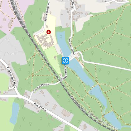
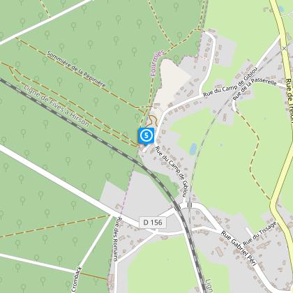
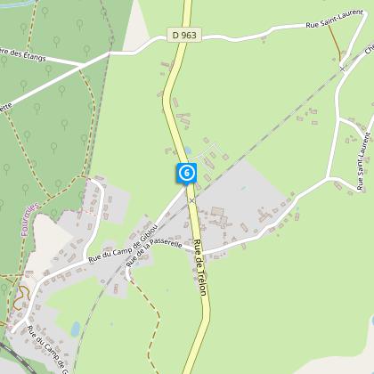
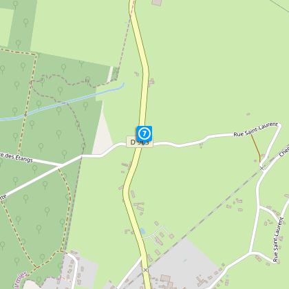
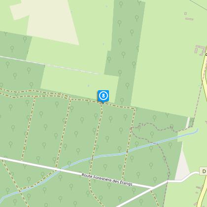
Map
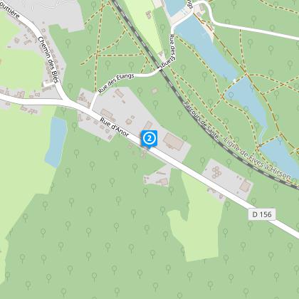
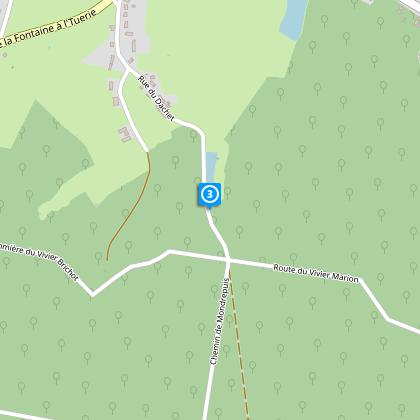
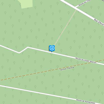
Steps
Cirkwi brief's
Ratings and reviews
See around
Giblou Camp Circuit


Credit : Département du Nord
The Cirkwi brief
Discover Fourmies: Enchanting Forest Trails Await
Nestled in the heart of the Fourmies forest, the Circuit du Camp de Giblou offers an adventure that delicately balances challenge and discovery. Crafted by Nord Tourisme, this journey through lush landscapes and serene paths beckons trekkers seeking to immerse themselves in nature's tranquility. The route's allure extends beyond its natural beauty, inviting walkers to step into a realm where each step uncovers new wonders. Whether you're a fledgling explorer or a seasoned wanderer, this itinerary promises a fulfilling escape into the wild, inspiring a connection with the environment that's both profound and memorable.
Brief Technical Overview
This mid-level difficulty trail stretches approximately 11.85 kilometers, with the highest elevation reaching 246 meters and the lowest at 199 meters. The journey flaunts a total positive elevation ranging between 138 to 139 meters, posing a moderate challenge conducive for regular hikers. It’s imperative to note the crossing of RD 964, which requires careful navigation. The trail is well-marked, with additional variant paths available during hunting seasons or in cases where the main route becomes impassable due to adverse weather conditions. This technical outline should serve as a comprehensive guide for preparation.
Seasonal Guidance and Safety
Embarking on this forest adventure entails preparedness for all seasons. In wet conditions, waterproof footwear becomes essential, transforming slippery paths into manageable trails. During hunting periods, typically signaled by local authorities or the Office National des Forêts, adherence to alternative routes like "des Etangs des Moines" ensures safety and peace of mind. Each season paints the forest in distinct hues, from the lush greenery of spring to autumn’s fiery palette. But, regardless of the season, awareness and respect for the natural and recreational guidelines safeguard both the visitors and the habitat.
Fourmies: A Historical Tapestry
Situated within the picturesque region of Hauts-de-France, Fourmies holds a tapestry of cultural and historical significance that enriches any visit. This town, not just renowned for its natural beauty, stands as a testament to the resilience and evolution of the Northern French territories. The Circuit du Camp de Giblou, while primarily a journey through nature, also offers glimpses into the area's past, embodied in landscapes that have borne witness to centuries of history. It invites travelers not only to explore the physical terrain but to traverse through time, uncovering stories that are integral to the identity of Fourmies.
Weather Insights for Optimal Visits
The climate of Fourmies characteristically falls under the oceanic bracket, with moderate variances between seasons. This ensures relatively mild winters and pleasantly warm summers, ideal for year-round exploration. However, the most recommended times to embark on the Circuit du Camp de Giblou are late spring through early autumn. During these months, the weather conditions are most favorable, presenting the forest’s flora and fauna in their full splendor. Rainfall, while evenly spread throughout the year, necessitates proper gear to ensure an uninterrupted and enjoyable trekking experience.
Automatically generated.
Technical Information
Walking
Difficulty
Easy
Duration
3h
Dist.
12 km
Type of practice
Walking
Easy
3h
Show more
Altimetric profile
Starting point
Rue des étangs
,
59610
FOURMIES
Lat : 50.0038176781Lng : 4.05741658211
Steps
Data author

Ratings and reviews
To see around