Alert
Alerts
Type of practice
Walking
Easy
3h50mn
Presentation
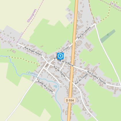
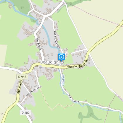
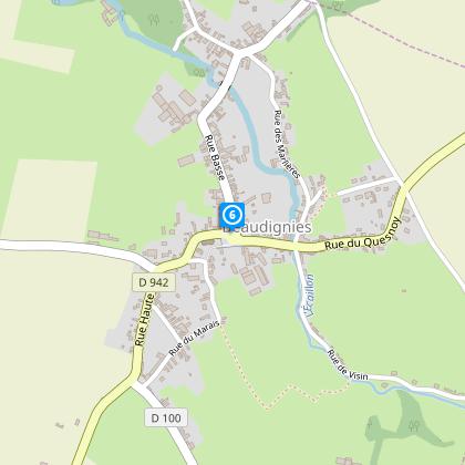
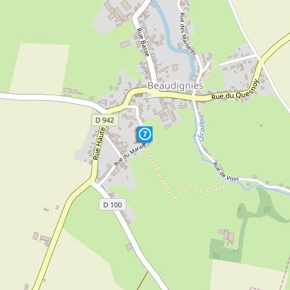
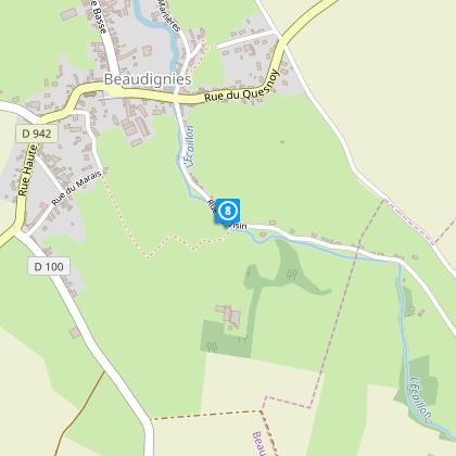
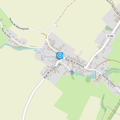
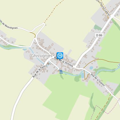
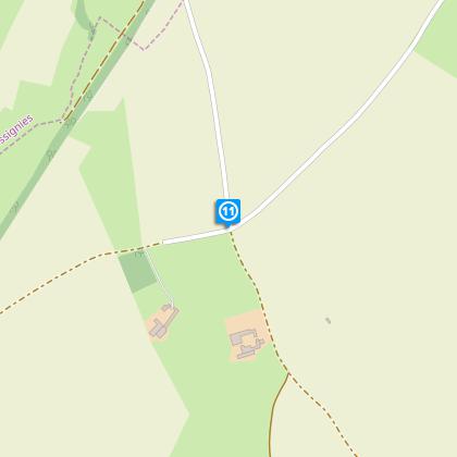
Map
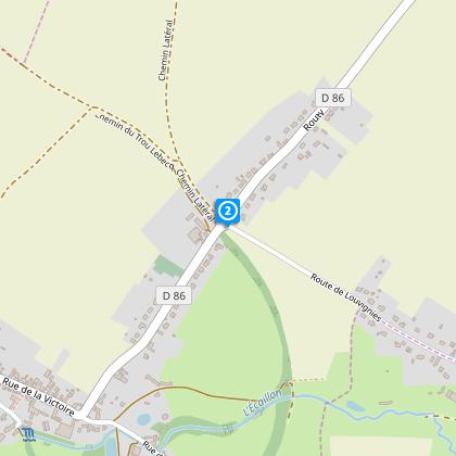
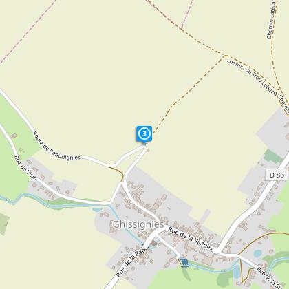
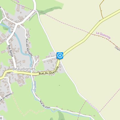
Steps
Cirkwi brief's
Ratings and reviews
See around
Ecaillon Circuit


Credit : Nord Tourisme
The Cirkwi brief
Explore the Picturesque Valley of Ecaillon
The Circuit de l'Ecaillon offers a journey through the serene landscapes surrounding Louvignies-Quesnoy, designed by Nord Tourism. This trail gracefully meanders along the quaint Ecaillon valley, presenting an easy trek with caution advised at the RD 86 and 942 crossings. Ideal for those seeking a blend of natural beauty and tranquility, the path reveals the charms of the French countryside. Waterproof footwear is recommended during wet seasons, ensuring a delightful experience regardless of weather. Embrace the calm and introspective atmosphere that this unique itinerary provides.
Technical Overview of the Trail
Spanning approximately 11.5 km, the Circuit de l'Ecaillon unfolds across a varied elevation ranging from 77 to 131 meters, incorporating a total elevation gain of 119 meters. This makes for a relatively easy walking experience, suitable for a wide array of fitness levels. The trail includes crossings at RD 86 and 942, necessitating sharp attention to safety. The recommended walking pace and elevation profile suggest a leisurely yet engaging exploration of the valley, allowing walkers to fully absorb the natural splendor without undue strain.
Seasonal Advice and Safety Tips
For an optimal experience on the Circuit de l'Ecaillon, footwear selection is crucial – especially during rainy periods where waterproof boots can make the journey more comfortable. Spring and autumn offer lush vistas and cooler temperatures, ideal for hiking. In summer, ensure adequate hydration and sun protection. Winter, though colder, reveals a starkly beautiful landscape; however, daylight is shorter, so plan for early starts. Always heed road crossing alerts at RD 86 and 942 to ensure a safe trek across this vibrant landscape.
Cultural Heart of Louvignies-Quesnoy
Louvignies-Quesnoy, nestled within the picturesque North region of France, harbors a rich tapestry of history and culture intrinsically linked with the Circuit de L'Ecaillon. The trail not only showcases the natural beauty of the region but also traverses through areas steeped in historical significance, offering a window into the past of the Nord department. The valley and its surroundings are a testament to the region's evolving cultural landscape, making it a captivating journey through time for every walker.
Climate Insights for Visitors
The Louvignies-Quesnoy area, characterized by a temperate maritime climate, sees mild winters and warm summers, making it a year-round destination for enthusiasts of the great outdoors. The most favorable times to embark on the Circuit de l'Ecaillon are late spring to early autumn, when the weather conditions are generally pleasant, and the natural surroundings are at their most vibrant. Rainfall is distributed throughout the year, with the wettest months often being late autumn to early winter, highlighting the importance of suitable footwear for the trail.
Automatically generated.
Technical Information
Walking
Difficulty
Easy
Duration
3h50mn
Dist.
11 km
Type of practice
Walking
Easy
3h50mn
Show more
Altimetric profile
Starting point
Maison des associations
,
59530
LOUVIGNIES-QUESNOY
Lat : 50.2251239419Lng : 3.64096434001
Steps
Data author

Ratings and reviews
To see around