Alert
Alerts
Circuit du Grand Rieu
IGN cards


Description
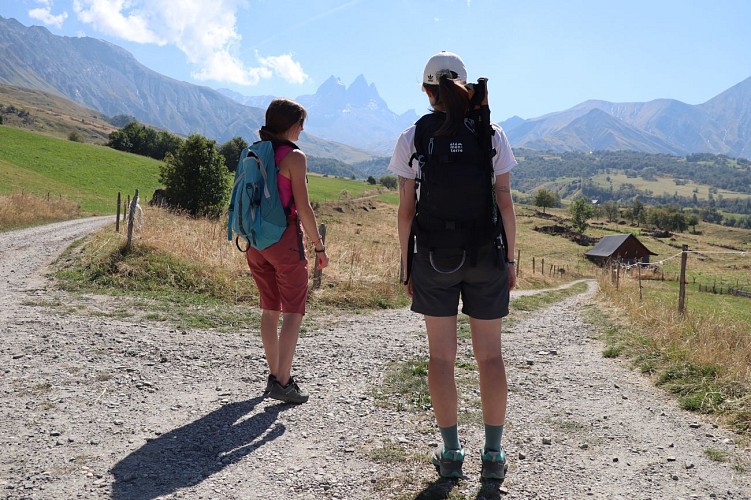
Take the whole family on a beautiful loop with breathtaking views of the Aiguilles d'Arves. Pass through the hamlet of La Villette before climbing gently up to the Col du Mollard, an ideal way to enjoy the Albiez countryside.
This intermediate-level trail lets you explore the Albiez-Montrond landscape! From the Col du Mollard, follow an easy forest track that winds under Mont Emy, with the splendid Aiguilles d'Arves as a backdrop.
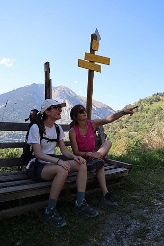
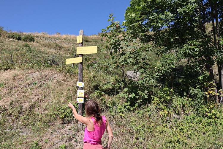
Your walk takes you to the charming hamlet of La Villette, once home to a school. You'll then follow the "sentier des écoliers", the same path that village children used to take on their way home. A gentle hike full of history, perfect for a family outing!
Technical Information
Altimetric profile
Starting point
Additional information
Updated by
Office de tourisme Intercommunal Cœur de Maurienne - 17/11/2025
drone-de-regard.fr/vr/mcm-2/saint-jean/
Report a problem
Topo guides and map references
Topo guides references :
Topoguide Pays des Aiguilles d'Arves available for €5 at Explore Maurienne tourist offices during our opening hours.
Map references :
TOP 25 IGN 3435
Open period
All year round daily.
Subject to favorable weather.
Contact
Phone : 04 79 59 30 48
Guidebook with maps/step-by-step
Start: Col du Mollard.
1/ Continue on the RD80 for approx. 30 m.
2/ At the intersection, turn slightly left onto Rue du Ravarin.
3/ At the Échaux crossroads (La Pierre aux Fées vacation center), turn left onto Route de la Praz.
3/ Continue on Route de la Praz (road then track), as far as the sign for sous la Plaigne.
4/ Turn right on the downhill track to join the RD80 in a hairpin bend.
5/ At the hairpin, turn right onto the RD80 to reach the next hairpin.
6/ In the hairpin, turn right onto the small road into the hamlet of La Villette.
7/ 100 m further on, join a path that leads back up to Le Mollard, crossing the road twice (former schoolchildren's path).
8/ Rejoin the RD80, then turn right onto Chemin de l'Adret to retrace your steps.
Animals
Yes. Pets allowed on leash only.
Data author
