Alert
Alerts
Tour of Mont Falcon - 3-day walking tour
Description
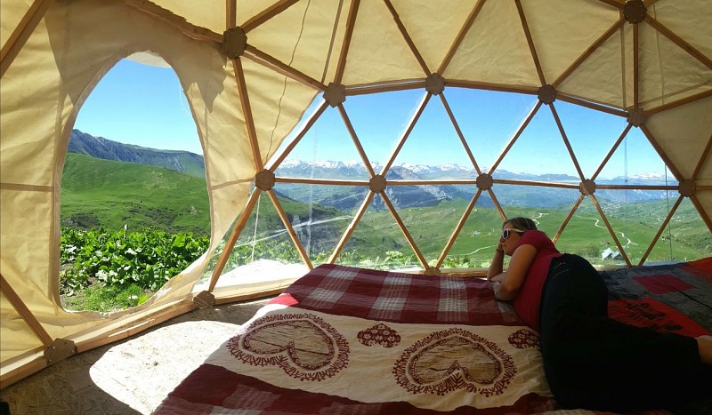
Venture to the foot of the mythical Aiguilles d'Arves. You'll find yourself in a picture-postcard setting, between mountain pastures and forests. Accessible to even inexperienced hikers, this promises to be an enchanting break!
This long hike presents no difficulties for families with minimal mountaineering equipment. The itinerary takes you to the emblematic Basse de Gerbier, which at 2,578 meters altitude lies immediately above the Tête de Chat (Aiguille d'Arves septentrionale, 3,324 meters altitude). Along the way, you'll come across numerous herds of cattle and, if you're lucky, marmots.
Technical Information
Altimetric profile
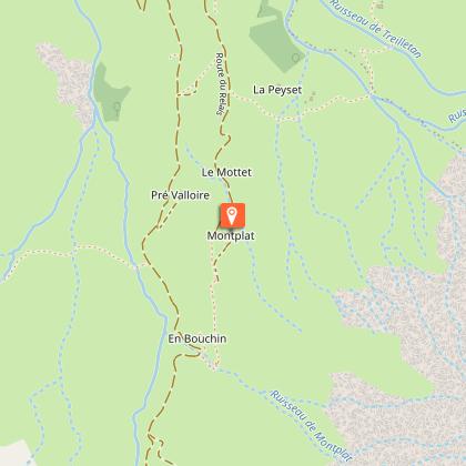
Starting point
Points of interest

Date and time
- From 20/06/2026 to 22/09/2026
- From 20/06/2027 to 22/09/2027
Additional information
Tips
We advise you to book accommodation well in advance, given its small capacity. Map-reading skills are essential.
Recommended equipment :
- Mountain boots suitable for walking on varied terrain.
- Rain gear
- Warm clothing
- Pair of telescopic poles
- Tour des Aiguilles d'Arves IGN map
- Sufficient water and food
- Cheques or cash (bank terminals not always available in refuges).
Open period
From 20/06 to 22/09 daily.
Subject to favorable weather.
Contact
Phone : 04 79 59 30 48
Topo guides and map references
Map references :
Tour des Aiguilles d'Arves IGN map on sale at Tourist Offices
IGN map n°3435ETR: Valloire - Aiguilles d'Arves/Col du Galibier
Updated by
Office de tourisme Intercommunal Cœur de Maurienne - 03/04/2026
montagnicimes.com/
Report a problem
Reception complements
This is a mountain itinerary. You need to be well equipped and experienced in the mountains before embarking on this tour.
Guidebook with maps/step-by-step
DEPARTURE: Col du Mollard
1/ Col du Mollard -> Chalet d'la Croë / Distance: 8km / D+: 529m / D-: 89m / Time: 3h.
2/ Chalet d'la Croë -> Chalet du Perron: Distance: 8.4km / D+: 530m / D-: 458m / Time: 3h25.
3/ Chalet du Perron -> Col du Mollard: Distance: 15.1 km / D+: 674m / D-: 1186m / Time: 6h05.
Data author
