Alert
Alerts
Easy Hike - Les Aiguilles d'Arves


Description
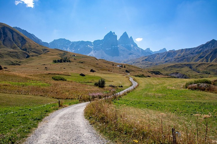
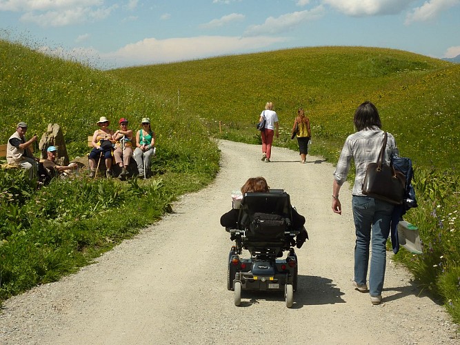
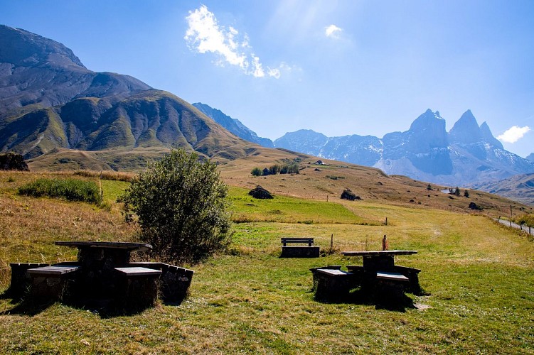
This easy-going walk is accessible to all-comers, taking you to the heart of the Montrond plateau, in alpine pastures and amongst abandoned mountain chalets that were once inhabited during the summer months, at the foot of the Aiguilles d'Arves known as "the majestics".
The trail winds through alpine pastures and the ruins of old summer chalets, remnants of a time when shepherds and farmers lived in tune with the seasons and their herds. This walk allows you to appreciate a landscape shaped by pastoral activities and to better understand the history of these high-altitude areas.
Combining heritage, nature, and sweeping vistas, the hike offers a peaceful setting to fully enjoy the mountains and their iconic panoramas.
Allow for an additional 300 m walk from the TV relay parking lot before reaching the trailhead.
People with limited mobility and seniors with difficulty walking are permitted to park in the second parking lot, access to which is strictly reserved for these users.
Technical Information
Altimetric profile
Starting point
Additional information
Open period
All year round daily.
Subject to favorable weather.
Contact
Phone : 04 79 59 30 48
Topo guides and map references
Topo guides references :
Topoguide Pays des Aiguilles d'Arves - Albiez-Montrond / Albiez-le-Jeune available for €5 at Explore Maurienne Tourist Offices during opening hours.
Map references :
IGN map no. 3435ETR: Valloire - Aiguilles d'Arves/Col du Galibier
Location complements
The PMR parking lot is less than a kilometer from the TV relay parking lot.
Updated by
Office de tourisme Intercommunal Cœur de Maurienne - 17/09/2026
www.explore-maurienne.com/
Report a problem
Reception complements
You can also pick up the “Sentier des Alpages” guidebook, which helps you explore the themed trail that follows the same route. You can find it at the Chalet d’la Croë or at our tourist offices during our hours of operation.
Guidebook with maps/step-by-step
Start: Relais TV PMR parking lot
1/ Take the forest track on the left.
2/ Turn right onto a small path that takes you across the pairie to Lissolet.
3/ Turn right on the track to reach the parking lot.
Animals
Yes. Dogs must be kept on a leash due to the presence of herds.
Data author
