Alert
Alerts
GR736® from Trébas to Ambialet
Description
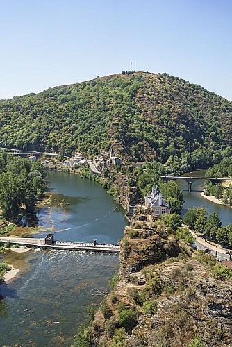
In a valley on the left bank of the Ségala, look out over the meanders carved out by the River Tarn and you’ll come to the most spectacular of them all: the Ambialet meander, which forms the narrowest isthmus in Europe
Ici ne s'affiche que la portion du GR®736 allant de Trébas à AmbialetPour plus d'information sur l'itinéraire complet : Se procurer le Topoguide® édité par la Fédération Française de la Randonnée Pédestre : boutique FFRandonnée/Gorges-et-Vallée-du-Tarn - (ffrandonnee.fr)
Technical Information
Altimetric profile
Starting point
Additional information
Ambiance
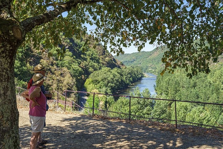
Following ridge paths, tracks and hillside trails along a wooded slope, you’ll follow the Tarn from a distance as it winds its way through a steep-sided valley. Tip: save a little energy so that, once you reach Ambialet, you can climb the path of schist slabs leading up to the priory. From there, a panoramic view unfolds over the village’s peninsula, embraced by the bend in the River Tarn.
Arrival
Ambialet
Departure
Trébas
Data author
