Alert
Alerts
GR736® from Les Vignes to Peyreleau
Description
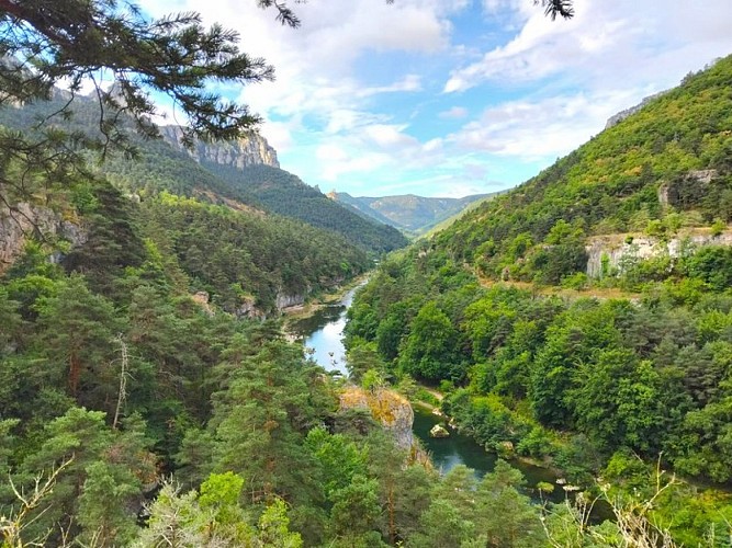
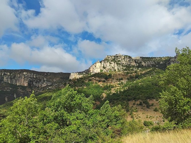
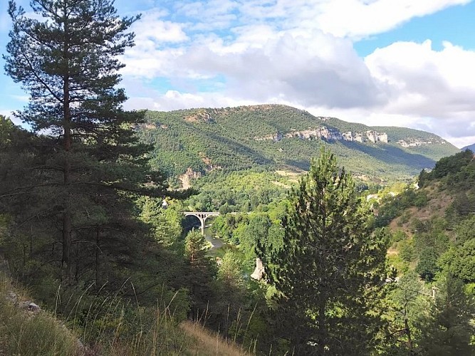
Winding through coniferous forests and along winding paths, below the Causse cliffs, this route takes you to the exit of the Gorges du Tarn, at the confluence of the Tarn and the Jonte
Ici ne s'affiche que la portion du GR®736 allant des Vignes à PeyreleauPour plus d'information sur l'itinéraire complet : Se procurer le Topoguide® édité par la Fédération Française de la Randonnée Pédestre : boutique FFRandonnée/Gorges-et-Vallée-du-Tarn - (ffrandonnee.fr)
Technical Information
Altimetric profile
Starting point
Points of interest
Additional information
Grand Site de France
Cet itinéraire est situé sur le périmètre du Grand Site de France, espace naturel protégé
Ambiance
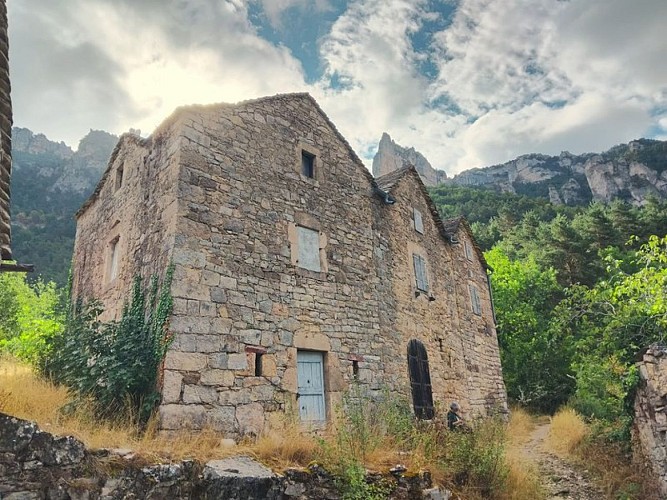
The lowermost section of the Gorges du Tarn is brimming with little gems: the hamlet of La Sablière, followed by the Cinglegros rock on the Méjean side, and the cirques of Saint-Marcellin and Églazines – both troglodyte villages – on the Sauveterre side. Caution is advised when passing over the overhangs above the Tarn. At Rozier-Peyreleau, other gorges draw to a close: those of the Jonte
Arrival
Peyreleau
Departure
Les Vignes
Data author
