Alert
Alerts
GR736® from Ste-Enimie to La Malène
Description
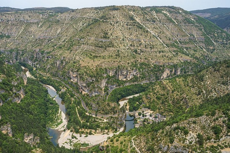
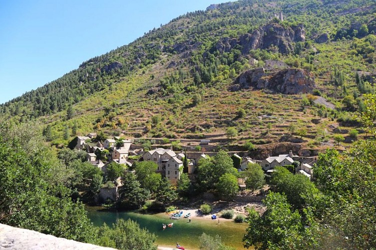
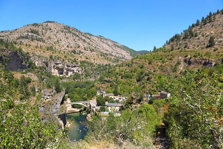
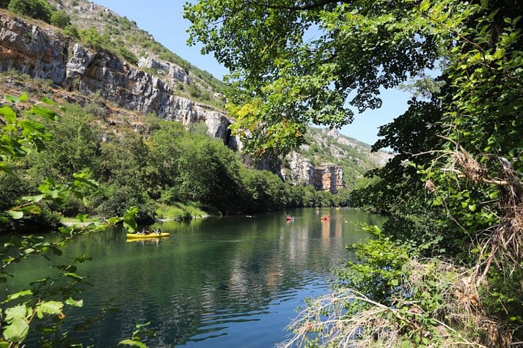
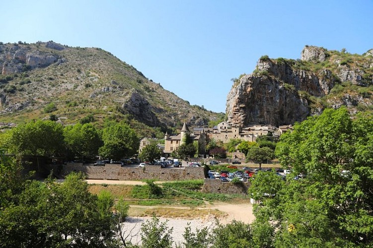
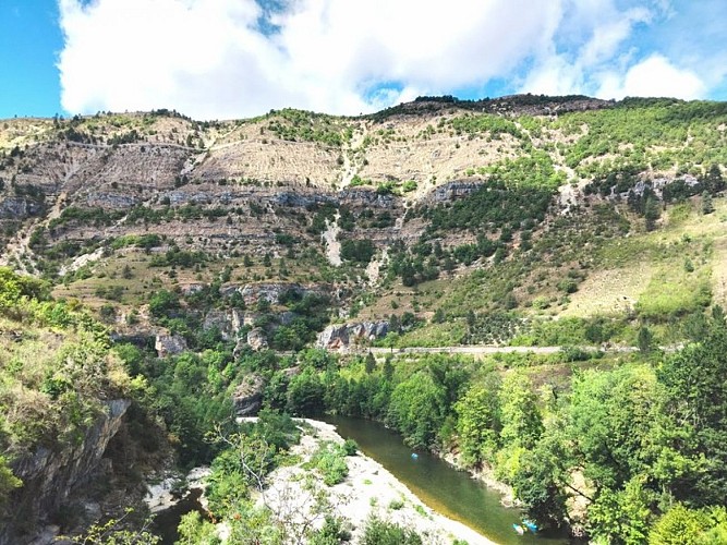
Between the Causse de Sauveterre and the Causse Méjean, immerse yourself in the Gorges du Tarn, where stone hamlets with limestone roofs seem to appear like mirages against a backdrop of cliffs
Ici ne s'affiche que la portion du GR®736 allant de Ste-Enimie à La MalènePour plus d'information sur l'itinéraire complet : Se procurer le Topoguide® édité par la Fédération Française de la Randonnée Pédestre : boutique FFRandonnée/Gorges-et-Vallée-du-Tarn - (ffrandonnee.fr)
Technical Information
Altimetric profile
Starting point
Additional information
Ambiance
Please note: there are several tricky sections along this route! They illustrate the isolation of villages which, in the 19th century, had more contact with the limestone plateau overlooking them than with the opposite bank. Saint-Chély-du-Tarn and Pougnadoires, nestled in magnificent cirques, and Hauterives, built in terraces, all offer opportunities for contemplative breaks alongthe way
Arrival
La Malène
Departure
Ste-Enimie
Data author
