Alert
Alerts
GR736® from Rivière-sur-Tarn to Millau
Description
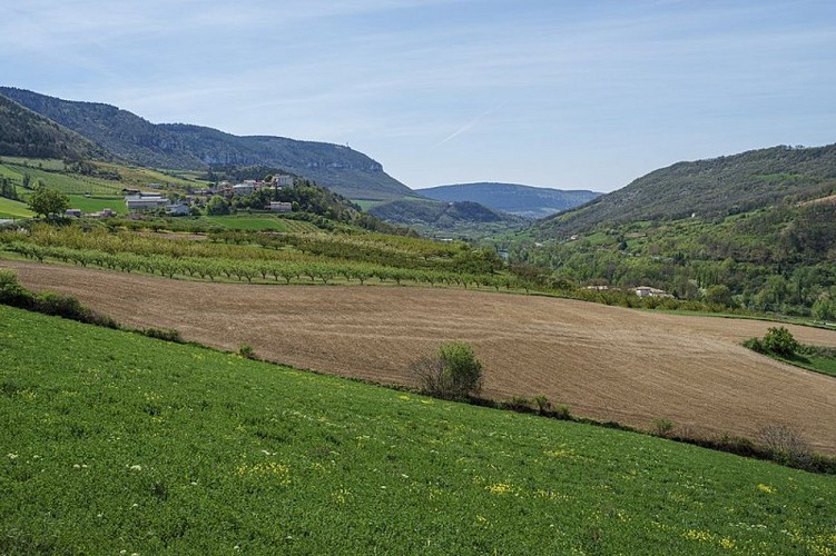
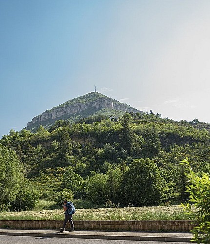
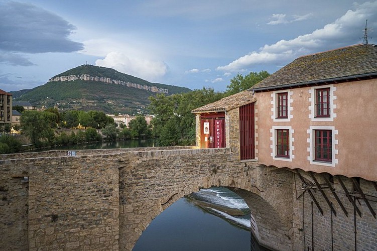
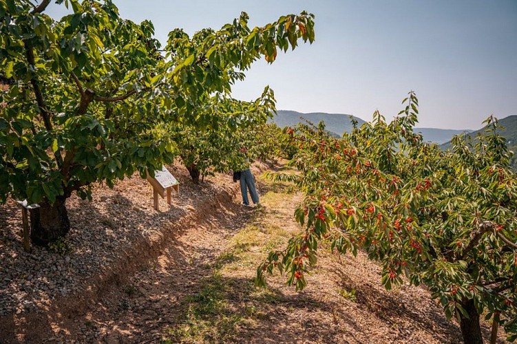
From the foothills of Mount Luzergue to the foot of the Puncho d’Agast, follow a route linking two peaks overlooking the River Tarn just upstream of Millau, passing through villages with a long tradition of arboriculture
Ici ne s'affiche que la portion du GR®736 allant de Rivière-sur-Tarn à MillauPour plus d'information sur l'itinéraire complet : Se procurer le Topoguide® édité par la Fédération Française de la Randonnée Pédestre : boutique FFRandonnée/Gorges-et-Vallée-du-Tarn - (ffrandonnee.fr)
Technical Information
Altimetric profile
Starting point
Points of interest
Additional information
Ambiance
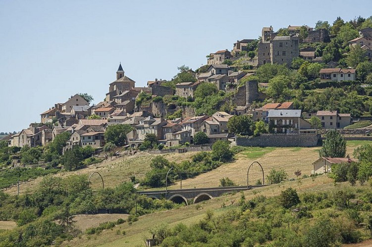
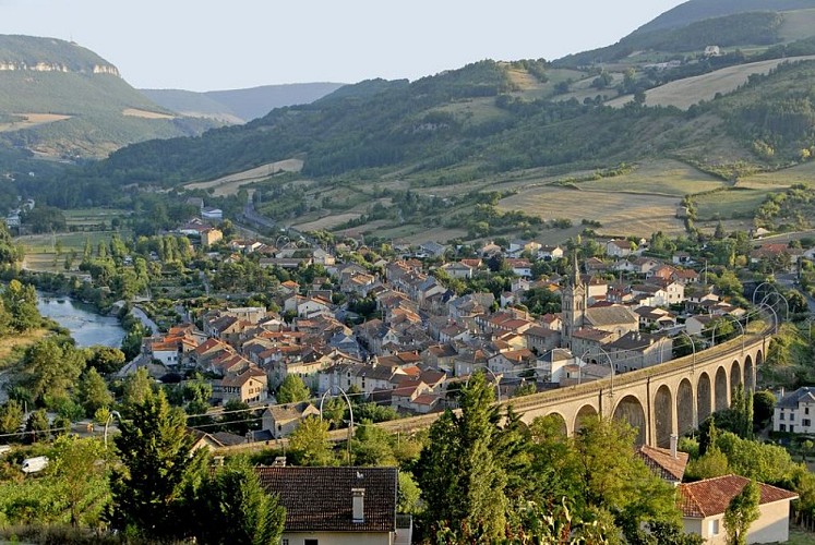
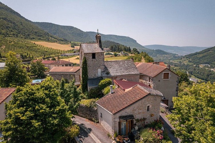
From the right bank to the left bank, climb the valley’s slopes to approach the superb medieval village of Compeyre – the heart of the Côtes de Millau wine region – from the rear, then follow the Tarn riverbank at Aguessac before reaching Paulhe, the cherry capital, and its hamlet of Carbassas. The town of Millau, at the confluence of the Tarn and the Dourbie, lies at the end of the route
Arrival
Millau
Departure
Rivière-sur-Tarn
Data author
