Alert
Alerts
U CHJASSU DI U MUNTAGNERA : TUANI - FORCA DI A LANCIA - BERGERIES DE CAPPELLACCIA


Description
From Tuani, this hike will take you to the ridge that separates the Restonica and Tavignanu valleys, then on to the sheepfolds of Cappellacce and the Alzu plateau.
This route will be accessible from May 2024:
From this period onwards, we advise you to take the shuttle bus from Corte to reach the trailhead in the Restonica valley (Concerning the shuttle bus: See arrangements with the Tourist Office).
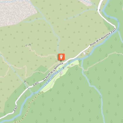
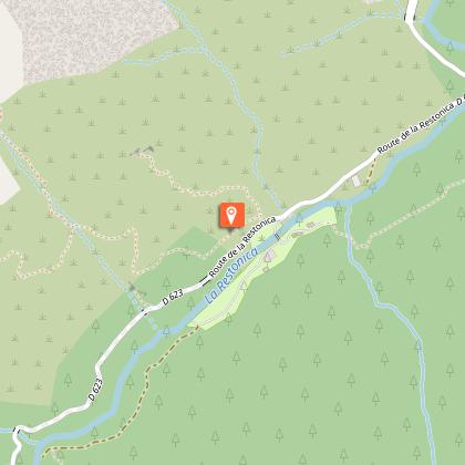
(D) The starting point is near the Tuani campsite, 6 km away in the
Restonica Valley - Shuttle bus stop.
(1) The path is on the right, above the barrier on the road.
It follows an old path and winds along the southern slopes of the
Restonica.
(2) Once you reach the crest of the ridge, take the path to the left (to the right, the path leads to Corte, the itinerary is long, see other hike description).
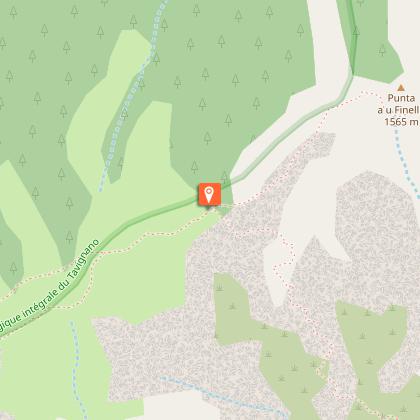
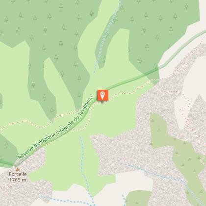
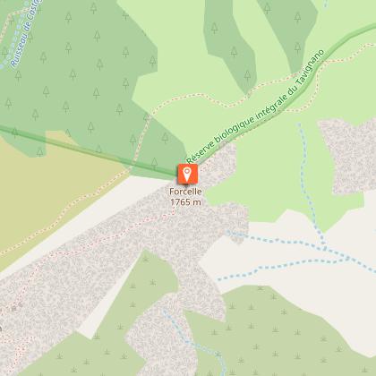
(3) Follow the ridge towards Forcelle.
(4) You reach a small summit called Forcelle. The panorama is magnificent.
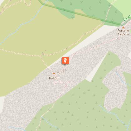
(5) You reach the sheepfolds at Cappellaccia.
Before starting the return journey, you can take a walk on the Alzu plateau (a sign indicates this near the finish). During the summer months, the shepherds there sell the famous and delicious Corsican cheese.
Useful information
There is another option for the return journey: you can take the path back down to the valley below the sheepfolds (signposted in red). This route takes you to the Frasseta bridge (about 2.5 km above Tuani by road).
This hike requires you to be in good physical condition. You'll need to be well shod (walking shoes or trainers) and carry warm clothing, water and a snack in your rucksack.)
Technical Information
Altimetric profile
Starting point
Steps
Data author
