Alert
Alerts
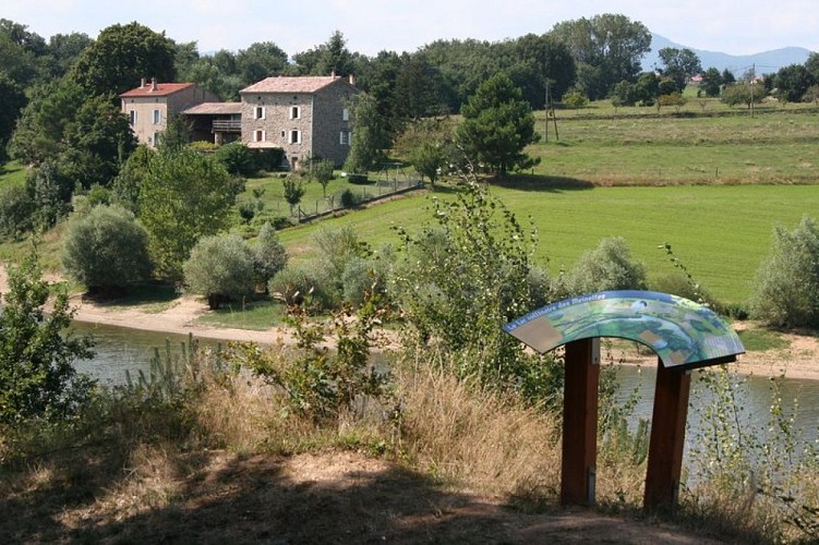
The lake of Meinettes
Description
A lovely walk through the village of Cheminas, focusing on the lac des Meinettes bathing in its green oasis.
1 - Cheminas - 462 m Follow Ceintres 2.4 km Sècheras 3 km Follow the small road to the left as you leave the village as far as Railles. 2 - Les Railles - 453 m Follow Ceintres 1.6 km Saint Jeure d'Ay 8.7 km Follow the grass path through fields then go downhill through undergrowth and across the pretty little stream. Continue uphill through acacia trees keeping to the main path until you come out of the wood to the plateau. The main path veers to the right as you turn left onto the grass track taking you to the hamlet Ceintres 3 - Ceintres - 430 m Follow Cheminas 6.8 km At the following junction turn right towards ‘sous Ceintres’. On the bend take the path going straight down through fields. The path emerges into a small wood then goes to the edge of the lac des Meinettes. Turn left and go round the lake on the narrow but very pleasant track. 4 – Misery Follow the stream Ozon as it leaves the lake leading to the D17. Turn left and go along the road for a few hundred metres before turning left into l’impasse du pont. When you get to the houses turn right onto the grass path. Go past a sheep enclosure and down into the glen. Over the other side a track takes you up to the hamlet Misery. Follow the small road for about 800m then cross over onto another small road on the left. Take the path on the right going between fields coming out at Fraysse. Go opposite onto the small lane leading to the main road. Turn left on the main road and carry on for a few hundred metres. Turn right and head for the hamlet Pechiot. Continue on the path going down through fields then turn right onto the small lane taking you to Collet. 5 - Collet - 461 m Follow Cheminas 1.6 km Keep to the main downhill path until you get to the woodland then continue on the small road to the left taking you back to the village.
Technical Information
Altimetric profile
Starting point
Additional information
Public transport
Bus route N° 11 Tournon sur Rhône - Saint Félicien
Advised parking
Church square
Access
Follow the D86 from tournon sur Rhône to Vion then the D17 to Cheminas via Sècheras
Arrival
Cheminas - Church square
Departure
Cheminas - Church square
