Alert
Alerts
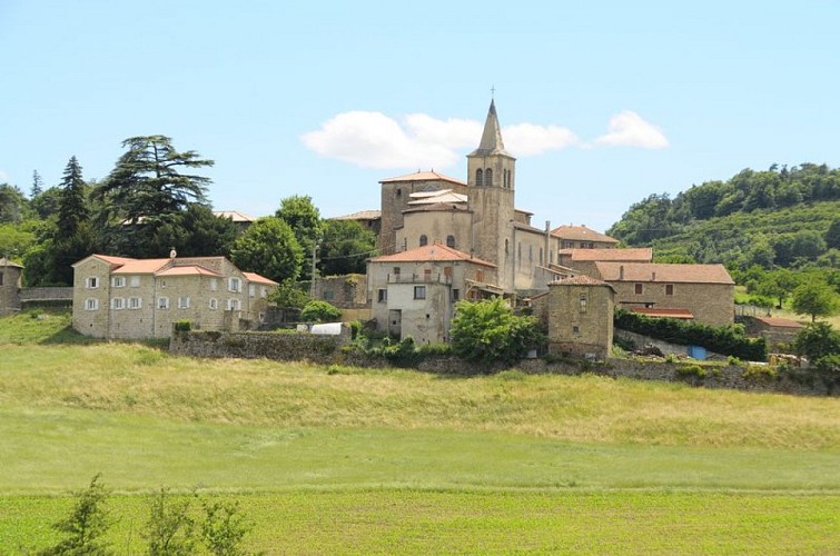
Bozas
Description
An easy ride where you can stop and take your time to admire the villages of Arlebosc and Boucieu le Roi.
Start the trail by going past the church on the right. 1 - 0 km At the corner of the church opposite the signpost indicating rambling trails go onto the small lane down to the left below the village and continue straight on. 2 – 1.5 km At the T junction, below the hamlet of Bouchillon, turn right onto the road going down. 3 – 2.2 km At the right of way with the main road turn left.4 – 2.4 km Then turn right immediately towards Colombier le Vieux. 5 – 2.7 km Take the first turn left then left again towards Colombier le Vieux VC1. The sign is a little further on at the 2nd crossroads. Keep on along the small road. 6 – 5.4 km Get back to the main road and turn left going into the village of Colombier le Vieux. 7 – 5.6 km Turn right just after the townhall signed up Le Faure, Miallier, Les Lacs, Veyrand, Ruisset, Saint Gris et Chalieu. 8 - 6 km Continue ahead and go past Belle Combe, La Roseraie, Bargay, Les Hirondelles, Les Campanules et Miallier.9 - 8 km Turn right heading towards Les Lacs, Veyrand.10 – 8.7 km Continue ahead and past the hamlet Le Lac.11 – 9.4 km Turn left as you leave the hamlet Veyrand towards Chalieu (Careful not to go as far as the hamlet Petit Veyrand) 12 – 10.2 km Carry straight on past the hamlets Chalieu, Les Bruyères et Issignols.13 – 11.9 km Follow the signs to Arlebosc along the river Doux before going up towards the village. 14 – 15.4 km At the crossroads follow the signs to Saint Félicien. 15 – 18.4 km At the crossroads between the D578 and the D272a turn left heading back to the village of Bozas.
Technical Information
Altimetric profile
Starting point
Additional information
Advised parking
Church square
Access
Follow the D234 then the D278 towards Lamastre and finally the D272a taking you to the village of Bozas
Arrival
Bozas - Church square
Departure
Bozas - Church square
