Alert

Alerts

To see around
See more
Open
Close
Show
Show
Show
Show
Show
Show
Show
Show
Show
Show
Show

Oups... It would appear that Cirkwi does not have permission to use your location.

Presentation
Description
Map
Points of interest
Ratings and reviews
See around

Randonnée - La transfrontalière

Randonnée - La transfrontalière
Randonnée - La transfrontalière_Montgenèvre

Description

Ideal for families
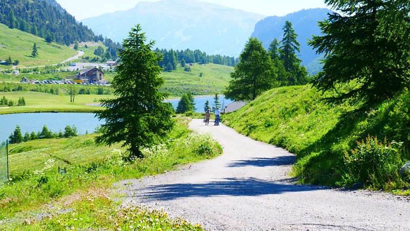
This pleasant walk through the woods will take you to the Italian village of Clavière.

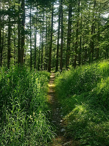
This route is very suitable for a family walk as it is not particularly difficult and is generally shaded
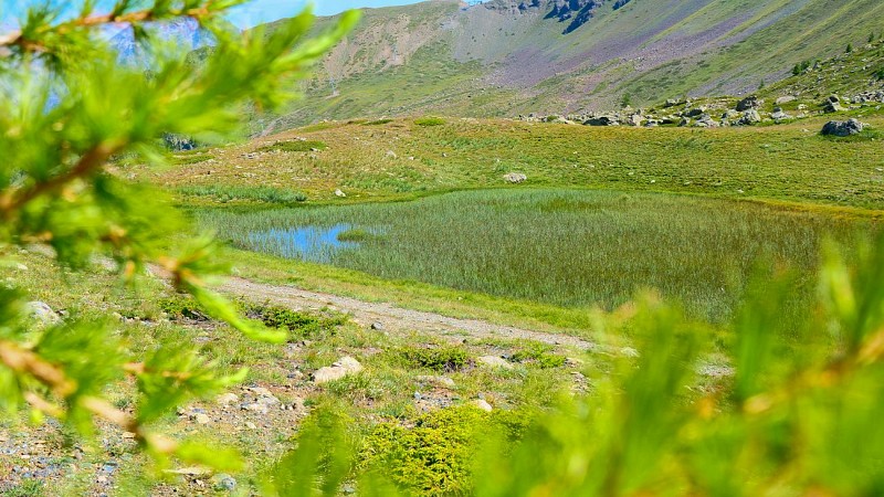
You can admire many mountain flowers and enjoy the beautiful light through the trees.

Highest point: 1860 m
Route type: loop
Distance: 6 km
Duration: 2 h
Height gain: 200 m
Height loss: 200 m

ITINERARY

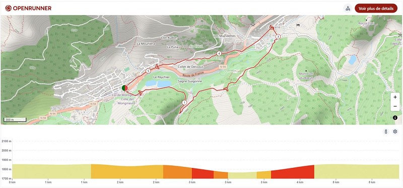
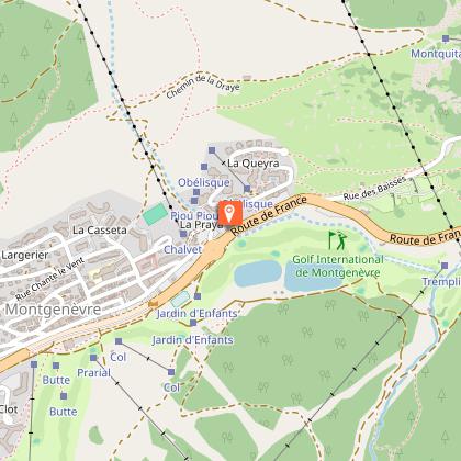
1. Then go to the bus station. Take the road from the back of the bus station towards the lakes area. Go straight on until you reach the end of the second lake (Lac du Peychier) where you turn right
2. At the next crossroads, turn left (direction Clavière) and cross the Doire (La Dora). Continue to follow the track in the direction of Clavière (be careful, you are going along the golf course, so do not pass the barriers for safety reasons)
3. At the next intersection, turn left towards Clavière and follow the path down to the village. Once there, turn left to cross a small wooden bridge. Turn right immediately, cross the large bridge and turn left. Walk along the children's playground and you will find the church of Clavière on your right
4. For the return journey, go to the main road in Clavière and drive up it towards Montgenèvre. At the exit of the village, cross the plexiglass gallery, then the road to go to the place called La Valetta and take the path that goes up towards Montgenèvre (le Collet). This leads you to the entrance of the Montgenèvre motorhome area. Cross the road to take the path back to the village.

Technical Information

Walking
Difficulty
Not specified
Duration
2h
Dist.
6 km
Show more

Altimetric profile

Starting point

22 Gare Routière , 05100   Montgenèvre
Lat : 44.931194Lng : 6.725725

Points of interest

image du object

Espace Trail 3000 Montgenèvre

Unique en France ! L'Espace Trail 3000 de Montgenèvre comprend 12 parcours soit plus de 200 km de sentiers balisés et sécurisés dont deux parcours hiver.L’Espace Trail 3000, au cœur du domaine de la Station de Montgenèvre,c’est 12 parcours Trail, du débutant à l’expert mais également pour les randonneurs avec plus de 200 km de sentiers balisés pour partir à la découverte et parcourir des milieux naturels riches avec une thématique orientée vers le patrimoine historique militaire ainsi que le milieu géologique. Les départs et arrivées se font à l’Espace Prarial, au centre de la station de Montgenèvre. Vous pouvez y retrouver une salle Hors-Sac, des casiers vestiaires ainsi que des toilettes, à proximité des commerces pour plus de confort après vos sorties. La station offre aujourd’hui un produit Trail complet, répondant à toutes les pratiques, avec un double événement hiver et été, et un site dédié aux amoureux des grands espaces, que cela soit à travers une pratique sportive et le dépassement de soi ou à destination des randonneurs qui pourront aussi trouver de quoi s’évader sur les sentiers tracés. Ces 12 parcours permanents numérotés de 1 à 12 et de différents niveaux de difficulté (vert, bleu, rouge et noir) traversent sur près de 200 km un patrimoine naturel varié inestimable, minéral ou boisé, vestiges géologiques internationalement reconnus et patrimoine militaire historique. Tous ces itinéraires ont été validés et tracés lors d’épreuves telle que le Trail du Chenaillet. L’objectif est double : faire profiter de ces espaces aux familles, aux sportifs, qu’ils soient débutants ou confirmés et faire cohabiter cyclistes, randonneurs et coureurs au cœur d’une véritable zone de sports de nature. L’Espace Trail 3000 de Montgenèvre rejoint au niveau du Col des Acles, l’espace Trail de nos amis Italiens de Bardonecchia pour créer un immense terrain de jeux franco-italien pour les trailers et marcheurs. retrouvez le balisage sur la carte et le terrain.

Office de Tourisme 767 Route d'Italie 05100 Montgenèvre
- Office de Tourisme de Montgenèvre -
Consulter

Date and time

  • From 01/06/2026 to 31/10/2026
  • From 01/06/2027 to 31/10/2027

Additional information

Environments

Close to GR footpath
Mountain view
Lake view
Mountain location
Station district
Lake -5km away
Village centre
Near shuttle stop
Close to a public transportation
Bus stop < 500 m

Updated by

Office de Tourisme de Montgenèvre - 04/09/2026
montgenevre.com/
Report a problem

Open period

From 01/06 to 31/10 daily.

Animals

Yes

Data author

320 route d'Italie 05100 Montgenèvre France

Ratings and reviews

To see around
See more
Open
Close
Show
Show
Show
Show
Show
Show
Show
Show
Show
Show
Show
Caution!
We have no information on the difficulty of this circuit. You may encounter some surprises along the way. Before you go, please feel free to inquire more and take all necessary precautions. Have a good trip! 🌳🥾