Alert
Alerts
Hiking track - Bridges and mills
Description
This easy hike allows you to discover the surroundings of Fillinges and its hidden treasures.
On this hike, you can explore the town’s rivers (the Ménoge and the Foron) as you stroll along their landscaped banks.
The Ménoge rises on the Moises Plateau in Habère-Poche, at an altitude of over 1,100 meters. A tributary of the Arve, it flows into the Arve near the town of Vétraz-Monthoux. It is now equipped for fishing (fishing permits are available at the Môle & Brasses Tourist Office).
The Foron River originates on the Plaine Joux plateau and flows through the foothills of the town of Fillinges before joining the Ménoge. A fishing trail dedicated to raising awareness and exploring aquatic environments has been established along the river.
Step-by-step directions are available by clicking on the printer icon.
Technical Information
Altimetric profile
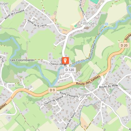
Starting point
Points of interest

Additional information
Updated by
Môle et Brasses Tourisme - 03/06/2026
www.mole-brasses.com/fr
Report a problem
Open period
All year round daily.
Contact
Phone : 04 50 36 49 18
Email : info@mole-brasses.com
Website : https://www.mole-brasses.com/fr
Facebook : https://www.facebook.com/molebrassestourisme/
Google+ : https://g.co/kgs/srQr9F2
Animals
Yes
Data author
