Warnung
Warnungen
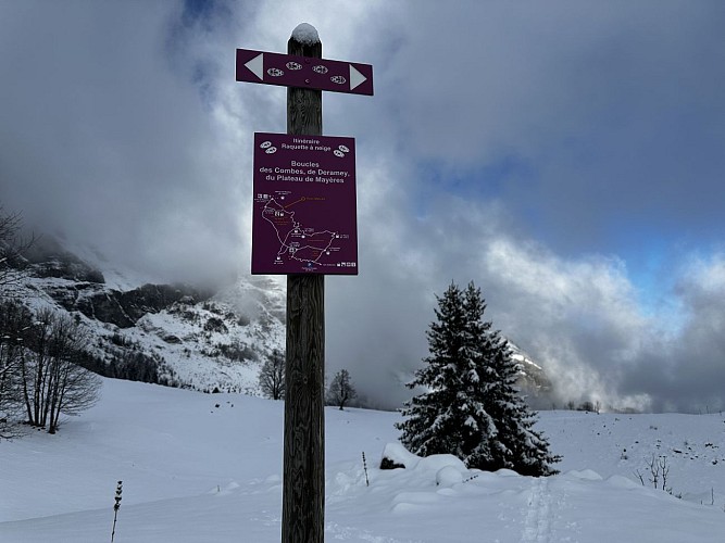
Snowshoe trail: Mayères Plateau Loop
Beschreibung
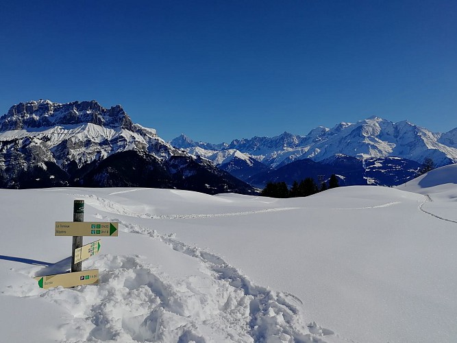
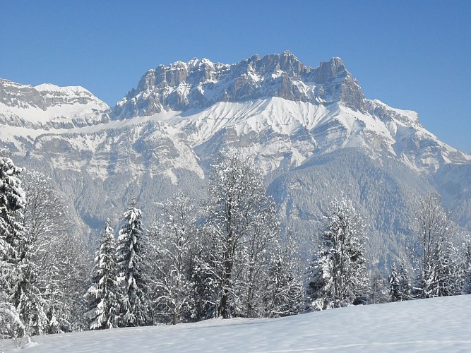
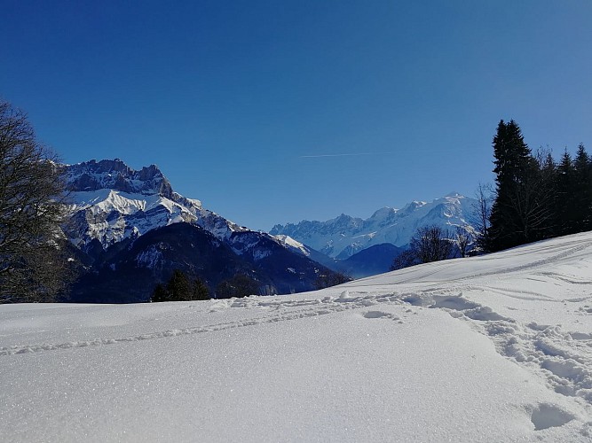
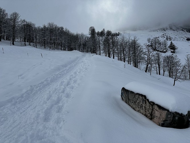
A forest trail revealing the magic of a snow-covered winter landscape: sunlit scenery, frozen streams and waterfalls… At the end of the trail, at the foot of the Quatre Têtes, a superb panorama over the Fiz mountains and Mont Blanc awaits.
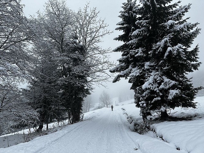
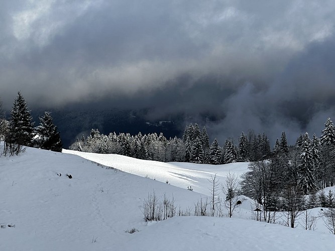
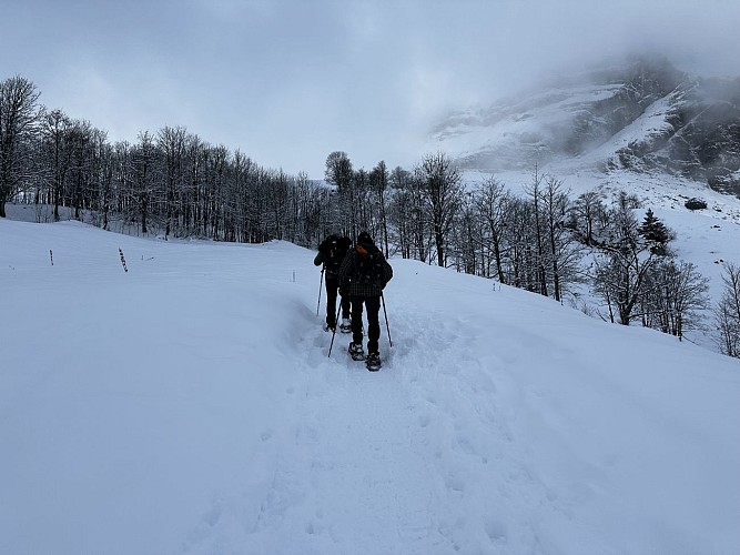
This beautiful forest trail takes you into the heart of an enchanting winter landscape. Beneath their snowy blanket, the local flora and fauna reveal themselves: animal tracks and signs, trees sculpted by the cold, streams and waterfalls frozen in ice… A true winter wonderland to explore.
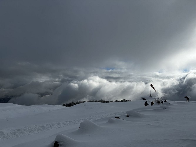
At the end of the trail, at the foot of the Quatre Têtes, you will enjoy exceptional views of the majestic Mont Blanc mountain range, as well as the Fiz mountains and their stunning Aiguilles de Warens peaks.
A panoramic viewpoint table also allows you to discover the surrounding peaks, with their names and elevations.
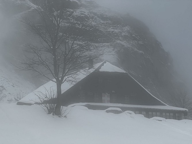
Higher up, you will find the Mayères mountain refuge, which is closed in winter.
The descent then continues along the trail leading, about ten minutes further down, to the Tornieux mountain refuge, where you can enjoy a delicious break overlooking Mont Blanc before continuing gently downhill.
More open than the forest trail used on the way up, the track offers beautiful panoramic views of the Fiz mountains and Mont Blanc all the way down. For those who enjoy sledging, the track can also be descended by sled: if you do so, please take care and remember to share the track with other users.
The Tornieux mountain refuge also offers a “Dinner & Sledging” package, which must be booked directly with the refuge, for a fun and delicious evening.
Technische Informationen
Höhenprofil
Datum und Uhrzeit
- Von 01/12/2026 bis 31/03/2027
- Von 01/12/2027 bis 31/03/2028
Zusätzliche Informationen
Price(s)
Free access.
Updated by
Office de Tourisme de Sallanches - 15/10/2026
sallanchesmontblanc.com/
Report a problem
Contact
Phone : 04 50 58 04 25
Email : tourisme@sallanches.com
Website : https://sallanchesmontblanc.com/
Facebook : https://www.facebook.com/SallanchesMontBlanc
Reception complements
In the downloadable media section, you will find two practical guides with helpful advice:
- How to prepare for a winter hike
- The responsible hiker's charter
Tiere
Ja
Datenautor
