In der Umgebung sehen
Mehr sehen
Öffnen
Schließen
Anzeigen
Anzeigen
Anzeigen
Anzeigen
Anzeigen
Anzeigen
Anzeigen
Anzeigen
Anzeigen
Anzeigen
Anzeigen

Oups... Es scheint, dass Cirkwi keine Berechtigung hat, Ihren Standort zu verwenden.

Beschreibung
Karte
Schritte
Bewertungen und Rezensionen
In der Umgebung sehen

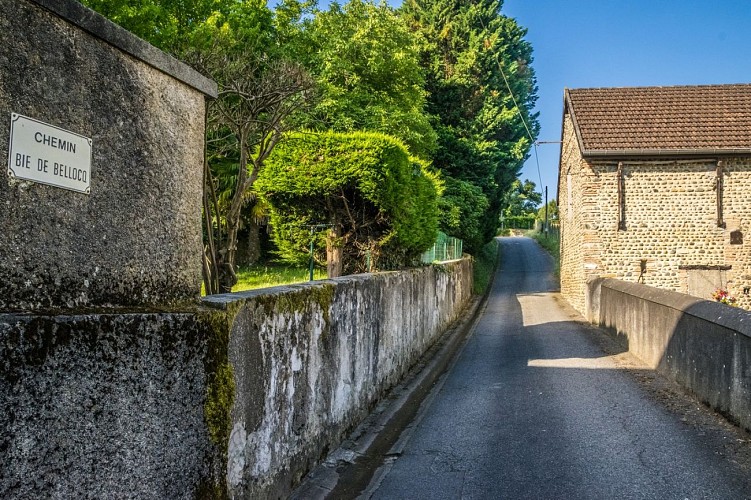
Beyrie-en-Béarn - Promenade autour de Beyrie

rando-pau-beyrie-promenade-autour-beyrie-02
rando-pau-beyrie-promenade-autour-beyrie-03
rando-pau-beyrie-promenade-autour-beyrie-04
rando-pau-beyrie-promenade-autour-beyrie-07
rando-pau-beyrie-promenade-autour-beyrie-10

Beschreibung

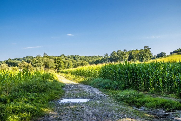
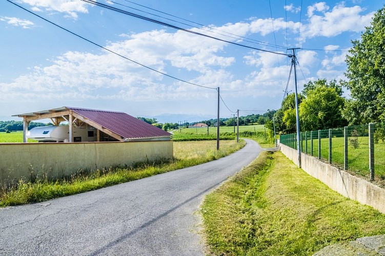
Angenehmer Rundweg auf dem Land, der im ersten Teil über schattige und kühle Wege führt und Ihnen im zweiten Teil eine außergewöhnliche Aussicht auf die Pyrenäen bietet.

Auf dem Weg können Sie die typischen Bauernhäuser des Béarn bewundern, deren Fassaden aus Kieselsteinen bestehen

Start: Parkplatz des Rathauses - 14, Larrode - Beyrie-en-Béarn

Gelbe Markierung Wanderer (Nr. 12)

Technische Informationen

Dieser Rundweg wurde aktualisiert am: 06/05/2024
10 km
min. 99999 m
240 m
240 m
Stile : SpaziergangEntdeckungAuf dem Land
Öffentlich : Familie

Höhenprofil

Ausgangspunkt

Mairie Route du Bourg Parking de la mairie - 14 Larrode , 64230 BEYRIE-EN-BEARN
Lat : 43.372688302587Lng : -0.47185183643655

Schritte

image du object
1

Departure - Town hall car park

On leaving the town hall car park, turn right towards the cross and continue straight on the “Bie de Bellocq” path. The road climbs then makes a bend to the left and the slope becomes downhill. Continue 500m then turn right on the path between a hedge and a field. Stay on this pleasant path in the middle of the woods to the bottom then turn right to join the RD 633. Turn left on the road then before going up on the bridge which crosses the highway, turn right on the dirt road. Stay on this path which approaches and then veers away from the highway.

- Pau Pyrénées Tourisme -
Consulter
image du object
2

Hamlet of Liret

At the crossing, stay on the track that goes left in the middle of farmland. At the level of the house, take the track which goes up in front. Stay on this dirt road, which runs along the woods to reach an open area. At the crossroads, a palombière (hunter hut on the tree) is on the right of the path. Take the track that goes to the right. Arrive at the top, turn right on the track (prohibited to vehicles except local residents and agricultural machinery). At the next crossing, turn right along the hedge. The track descends slightly then turn left on the wide track. The dirt road becomes a asphalted road below, continue downhill to the next intersection. Turn right and follow the road downhill.

- Pau Pyrénées Tourisme -
Consulter
image du object
3

Back to the car park

At the bottom, turn right on the asphalted road. Continue straight, pass the Bougarber village exit sign, then the Beyrie village entrance sign and continue to the place called “Tapie”. At the STOP sign, cross the RD 633 and go straight ahead. Continue on the road for 1km and arrive at a place called “La Heuguère”, turn right on Chemin de Joanbon. Cross the locality (beware of the dogs) and continue on a dirt road. At the first intersection, turn right on a track that becomes flat. At the fork, take the uphill track to the left, continue up to the road. Turn right and return to the starting point.

- Pau Pyrénées Tourisme -
Consulter

Zusätzliche Informationen

Contact

Kabeltelefon : +33 5 59 27 27 08
Pau Pyrénées Tourisme
Website (URL) : www.rando-pau.com
E-Mail : contactrandos@tourismepau.fr

Balisage

Gelb
Pédestre

Typologie de l'itinéraire

Schleife

Animaux bienvenus ?

Oui

Thèmes

Naturnah

Bewertungen und Rezensionen

In der Umgebung sehen
Mehr sehen
Öffnen
Schließen
Anzeigen
Anzeigen
Anzeigen
Anzeigen
Anzeigen
Anzeigen
Anzeigen
Anzeigen
Anzeigen
Anzeigen
Anzeigen