In der Umgebung sehen
Mehr sehen
Öffnen
Schließen
Anzeigen
Anzeigen
Anzeigen
Anzeigen
Anzeigen
Anzeigen
Anzeigen
Anzeigen
Anzeigen
Anzeigen
Anzeigen

Oups... Es scheint, dass Cirkwi keine Berechtigung hat, Ihren Standort zu verwenden.

Beschreibung
Karte
Schritte
Bewertungen und Rezensionen
In der Umgebung sehen

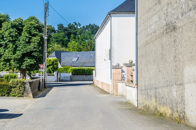
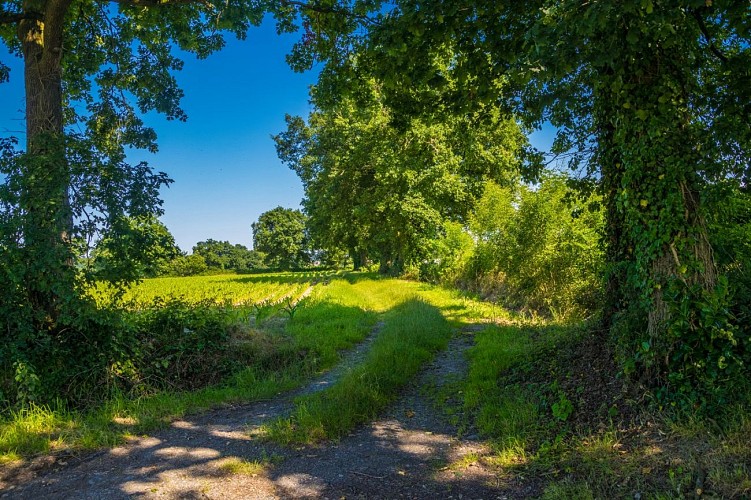
Aussevielle - Boucle de la ligne vieille

rando-pau-aussevielle-ligne-vielle-01
rando-pau-aussevielle-ligne-vielle-02
rando-pau-aussevielle-ligne-vielle-04
rando-pau-aussevielle-ligne-vielle-05

Beschreibung

Diese kurze Wanderung verläuft auf der ersten Trasse der Eisenbahnlinie zwischen Tarbes und Bayonne

Start: Parkplatz des Rathauses - 4, rue de Gozes Abadies - Aussevielle

Gelbe Markierung Wanderer (Strecke Nr. 14)

Technische Informationen

Dieser Rundweg wurde aktualisiert am: 22/04/2024
5 km
1 h 30 mn
max. 164 m
min. 138 m
68 m
68 m
Stile : SpaziergangEntdeckungAuf dem Land
Öffentlich : Familie
Themen : PaareKulturell

Höhenprofil

Ausgangspunkt

2 Mairie 4 Rue de Gozes Abadies Parking de la mairie , 64230 AUSSEVIELLE
Lat : 43.354419054467Lng : -0.48308633118081

Schritte

image du object
1

Departure - Town hall car park

From the car park, go past “Aussevieille-info”. At the "Give way" sign, turn left and walk along the stone wall. Continue 200m and take the first street on the right “Chemin des sources”. Continue on the asphalted road and cross the railway line. The road rises slightly. 100m after the railway line turn right and take the path lined with plane trees. This track is in fact the first route of the railway line between Tarbes and Bayonne before the Empress Eugénie asks for a passage through Lourdes. At the crossroads of the D633, turn left on the road that goes up. After the right-angle bend, take an immediate right towards Poey-de-Lescar, via Chemin de la Serre. At the next bend continue straight on the Chemin du Camp Romain.

- Pau Pyrénées Tourisme -
Consulter
image du object
2

Back to the car park

Just before the last house, turn right on the dirt road lined with oaks along the small stream of Malapet. Follow this path until you reach the town of Poey-de-Lescar. At the asphalted road, turn right. Enter the subdivision, cross it, staying on the main street. After the zigzag arrive at a STOP sign. Cross the street and go to the right of the old "Hérradé" which was once used to shoe animals. Continue straight on the sidewalk to the edge of the Saint-Jean-Baptiste church, built in 1821 on an old chapel from 1037. Immediately after the cemetery, turn right and take another section of the old line by this pleasant path in the undergrowth. At road level, descend and cross the railway line. 200m later, turn right onto rue de la mairie to reach the departure car park.

- Pau Pyrénées Tourisme -
Consulter

Zusätzliche Informationen

Contact

Kabeltelefon : +33 5 59 27 27 08
Pau Pyrénées Tourisme
Website (URL) : www.rando-pau.com
E-Mail : contactrandos@tourismepau.fr

Balisage

Gelb
Pédestre

Typologie de l'itinéraire

Schleife

Animaux bienvenus ?

Oui

Thèmes

Naturnah

Bewertungen und Rezensionen

In der Umgebung sehen
Mehr sehen
Öffnen
Schließen
Anzeigen
Anzeigen
Anzeigen
Anzeigen
Anzeigen
Anzeigen
Anzeigen
Anzeigen
Anzeigen
Anzeigen
Anzeigen