In der Umgebung sehen
Mehr sehen
Öffnen
Schließen
Anzeigen
Anzeigen
Anzeigen
Anzeigen
Anzeigen
Anzeigen
Anzeigen
Anzeigen
Anzeigen
Anzeigen
Anzeigen

Oups... Es scheint, dass Cirkwi keine Berechtigung hat, Ihren Standort zu verwenden.

Beschreibung
Karte
Schritte
Sehenswürdigkeiten
Bewertungen und Rezensionen
In der Umgebung sehen

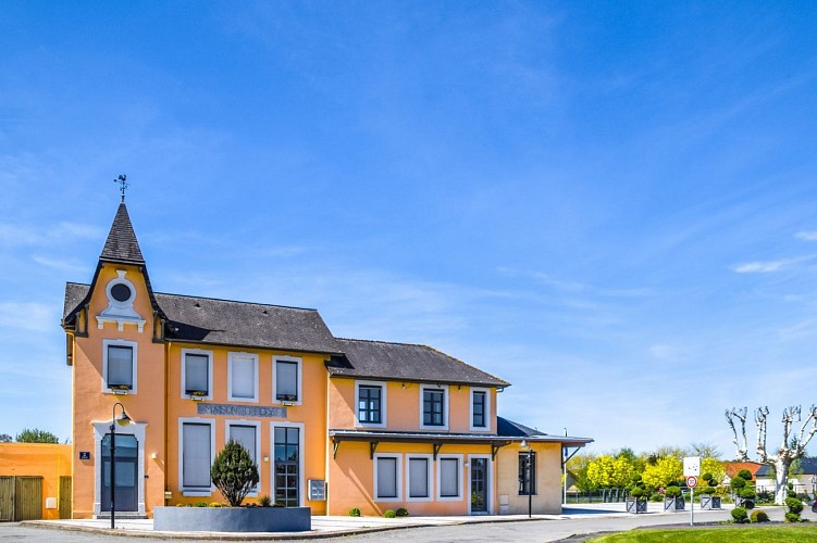
Mazères-Lezons - Des Coteaux à la Saligue

DSC-6321
DSC-6312
DSC-6351
DSC-6388-2
DSC-6405
DSC-6382

Beschreibung

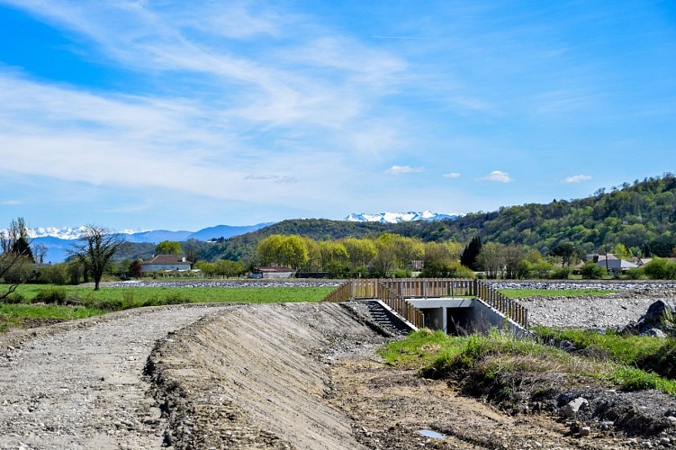
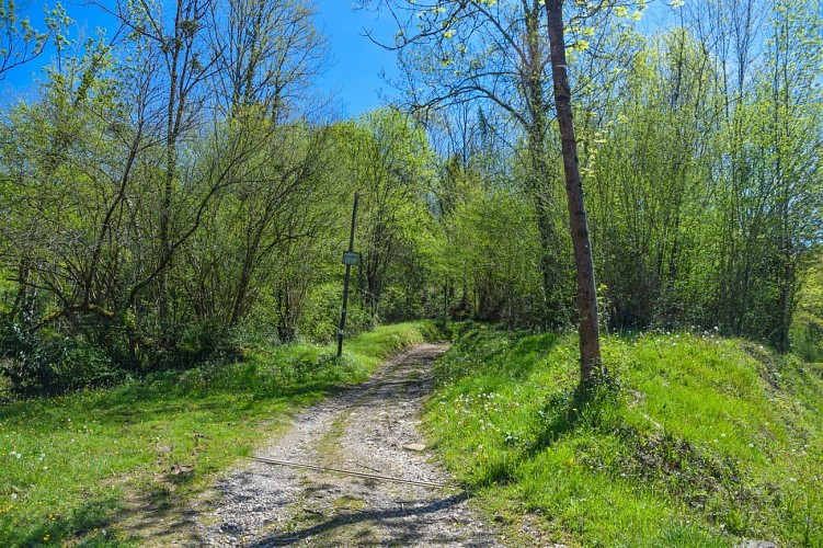
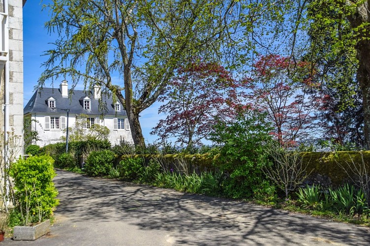
Auf dieser Wanderung können Sie die vielfältigen Landschaften der Béarnaise entdecken: bewaldete Hänge mit überraschenden Panoramen, gemütliche Dörfer und die Ufer des Gave, an denen es sich gut flanieren lässt.
Start: Parkplatz des Sportkomplexes - Rue du 8 Mai 1945 - Mazères-Lezons
Keine Markierung bis zur Rue Henri IV (Etappe 1). Dann folgen Sie der gelben Mountainbike-Markierung (Strecke Nr. 6)

Technische Informationen

Dieser Rundweg wurde aktualisiert am: 06/05/2024
8 km
2 h 15 mn
min. 99999 m
171 m
171 m
Stile : WandernSpaziergangEntdeckungAuf dem LandWald
Öffentlichkeit : FamilieGelegenheitswanderer
Thema : Erbe

Höhenprofil

Ausgangspunkt

Rue du 8 Mai 1945 Parking du complexe sportif Parking du complexe sportif , 64110 MAZERES-LEZONS
Lat : 43.283169351475Lng : -0.35183477630088

Schritte

image du object
1

Departure - Sports complex car park

From the stadium, head south (church of Mazères) via the dyke, cross the Canal des Moulins on the elevated footbridge then continue straight on the dirt road. Cross avenue des Pyrénées and take rue des Champs. Continue to the D 37 (caution, busy road). Turn right, staying on the sidewalk and cross at the level of the bakery (pedestrian crossing). Continue then turn immediately left rue Jules Ferry. Arrive on rue Louis Barthou and turn right then left rue Henri IV. The street bends to the left, runs along the hillside and ends at a roundabout.

- Pau Pyrénées Tourisme -
Consulter
image du object
2

Hillside Road

Go up the Chemin des Aguts which goes up to the left of the Allée des Coteaux. Pass along the Pouchan horse farm then a disused gas platform. Continue on this ridge until the crossroads with the Route des Coteaux.

- Pau Pyrénées Tourisme -
Consulter
image du object
3

The trail

Turn left at the place called the Marquisat. Follow the small paved road for 500 m. Just after the bend to the left, take the path marked by large stones on the left. Go down in the wood, at the road continue opposite on the path. At the foot of the hill, find the road, turn right and at the crossroads turn left onto rue de l'église. At the school house turn right.

- Pau Pyrénées Tourisme -
Consulter
image du object
4

Return to car park

Continue straight on rue des Écoles. At the STOP sign, cross the Route de Nay (be careful, busy road) and continue straight on Rue du Stade. Find the canal on the side of the road on the left and follow it. Then turn left onto rue du Gave. At the end of the street, head right towards the football field; follow it on its left. At the end of the stadium turn left on the green lane. Continue on this track, pass a wooden footbridge and continue. In view of the ring road bridge, turn left towards the Mazères-Lezons sports complex, passing between the Marcelle Courtois room and the Sports room to reach the departure car park.

- Pau Pyrénées Tourisme -
Consulter

Zusätzliche Informationen

Contact

Kabeltelefon : +33 5 59 27 27 08
Pau Pyrénées Tourisme
Website (URL) : www.rando-pau.com
E-Mail : contactrandos@tourismepau.fr

Balisage

Gelb
VTT (Parcours n°6)

Typologie de l'itinéraire

Schleife

Thèmes

Naturnah

Bewertungen und Rezensionen

In der Umgebung sehen
Mehr sehen
Öffnen
Schließen
Anzeigen
Anzeigen
Anzeigen
Anzeigen
Anzeigen
Anzeigen
Anzeigen
Anzeigen
Anzeigen
Anzeigen
Anzeigen