In der Umgebung sehen
Mehr sehen
Öffnen
Schließen
Anzeigen
Anzeigen
Anzeigen
Anzeigen
Anzeigen
Anzeigen
Anzeigen
Anzeigen
Anzeigen
Anzeigen
Anzeigen

Oups... Es scheint, dass Cirkwi keine Berechtigung hat, Ihren Standort zu verwenden.

Beschreibung
Karte
Schritte
Bewertungen und Rezensionen
In der Umgebung sehen

Aubertin - De la Hélère à la Baïse

rando-pau-aubertin-de-la-helere-a-la-baise-10
rando-pau-aubertin-de-la-helere-a-la-baise-12
rando-pau-aubertin-de-la-helere-a-la-baise-09
rando-pau-aubertin-de-la-helere-a-la-baise-03

Beschreibung

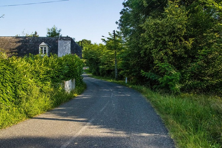
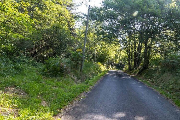
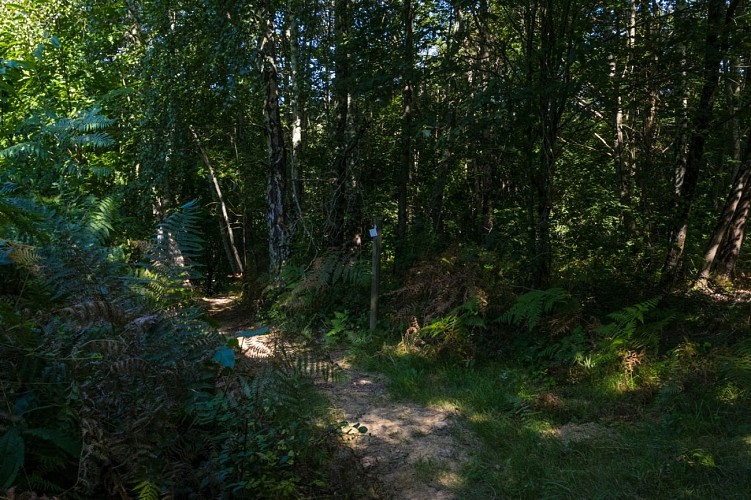
Dieser sehr naturbelassene Rundweg führt Sie auf schattigen Wegen über die oberen Abschnitte der Hänge. Hier finden Sie Weinbauparzellen, während Sie im Hintergrund den Blick auf die Pyrenäenkette genießen können.

Start: Parkplatz des Friedhofs: 419, chemin de l'École - Aubertin

Gelbe Markierung Fußweg (Strecke Nr. 23)

Technische Informationen

Dieser Rundweg wurde aktualisiert am: 22/04/2024
12 km
3 h 30 mn
max. 339 m
min. 148 m
479 m
479 m
Stile : WandernEntdeckungAuf dem LandWald
Öffentlichkeit : FamilieGelegenheitswanderer

Höhenprofil

Ausgangspunkt

Cimetière Route des Pyrénées 419 Chemin de l'École , 64290 AUBERTIN
Lat : 43.274989999Lng : -0.483705

Schritte

image du object
1

Departure - Cemetery car park

From the car park, turn left on the RD 346 along the cemetery. Exit the village of Aubertin then turn left on Chemin de Dophiné at the bus shelter. Go up the paved road. At the end of the road, descend along a dirt road on the right. At the foot of the descent, crossing with an asphalt road: turn right. At the next crossing, on the bridge with a green metal barrier, turn right to join the RD 146. Then turn left on the RD 146, continue straight for 150 m and before the bridge over the Baïse, turn left at the level of the House. Go along it and continue straight on a track. At a place called “Bergerou” (ruin), the path passes to the left of the ruin and continues along the hedge away from the edge of the wood. At the crossroads after the house, a place called “Peyrenere”, turn right on the track which remains on the edge of the forest.

- Pau Pyrénées Tourisme -
Consulter
image du object
2

Locality “Bengueres”

At a place called “Benguères” (take care of the dog), turn left then immediately right on the dirt road. At a place called “Josépou” (take care of the dog), cross the RD 534 and take the Chemin de Gouadélabat opposite. At the 1st crossroads, turn left and continue to a place called “Lacau”. Before the road begins to climb, turn right on a dirt road that passes between 2 houses. Cross the Haget stream and continue straight on the path that climbs into the forest. Join the paved road at the place called “Lèbe” (large white house on the right). Continue straight on the asphalt road which rises slightly. After the place called "Saliou", stay on the asphalt road which goes up to under the high voltage line. Stay on the paved road.

- Pau Pyrénées Tourisme -
Consulter
image du object
3

Peak of the ridge

In the climb, before the road turns to the right, take a dirt road that goes to the left. At the exit of the forest, stay on the path that goes up in the middle of the houses to join the RD 346. Cross the RD 346 and take the dirt road opposite that descends on the left in the middle of a wood. Pass a wooden gate (remember to close it again): the path goes to the left (do not continue on the ridge opposite the gate) to reach a first row of conifers. After this row of trees, continue the descent and pass between a second row of trees (birches at the end) and a brushy valley. Do not go down into the valley but bypass it to the right. Pass close to a third row of trees, continue the descent. Before joining the Jusclet which flows at the bottom of the valley, pass to the left under the valley through a passage between the two meadows to reach an opening in the hedge which borders the stream. Cross the Juscle, then go up the hill facing the slope along the trees. Reach the top of the ridge. Turn left and take the dirt road in the middle of the vineyard. A track comes from the right, stay on the ridge path. At the southern end of a vast meadow, the path bypasses it to the left, then at the end of it, sinks back into the undergrowth. Pass under the palombières, then arrive in a new meadow.

- Pau Pyrénées Tourisme -
Consulter
image du object
4

Back to the car park

At the end of it, turn left under the power line to take a steeply descending path. Before the paved road, a track comes from the left: turn right. At the junction with the paved road, turn left. After the place called “Puyade”, at the junction with the Chemin de Miramont, continue to the right on the Chemin de la Juscle. Pass the localities of Béteille, Heugas (pretty panorama of the Pyrenees) and join the RD 346. Turn left towards the village of Aubertin and arrive at the car park after the cemetery.

- Pau Pyrénées Tourisme -
Consulter

Zusätzliche Informationen

Contact

Kabeltelefon : +33 5 59 27 27 08
Pau Pyrénées Tourisme
Website (URL) : www.rando-pau.com
E-Mail : contactrandos@tourismepau.fr

Balisage

Gelb
Pédestre

Typologie de l'itinéraire

Schleife

Thèmes

Naturnah

Equipements

Picknickplatz

Animaux bienvenus ?

Oui

Bewertungen und Rezensionen

In der Umgebung sehen
Mehr sehen
Öffnen
Schließen
Anzeigen
Anzeigen
Anzeigen
Anzeigen
Anzeigen
Anzeigen
Anzeigen
Anzeigen
Anzeigen
Anzeigen
Anzeigen