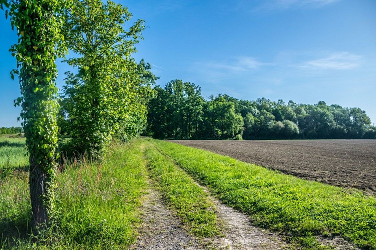
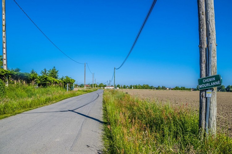
Diese hübsche kleine Schleife führt über Landstraßen und bietet Ihnen einen atemberaubenden Blick auf die Pyrenäenkette. Und wenn der Mais nicht zu hoch steht, können Sie auf Etappe 2 die Kirchtürme von Uzein und Cescau und auf Etappe 3 Serres Castet, Sauvagnon, Caubios, Loos und Momas erblicken.
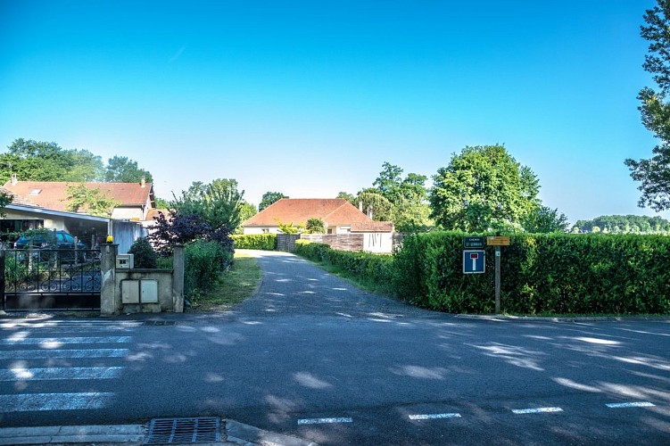
Start: Parkplatz Place du Lanot - Uzein
Gelbe Markierung Wanderer (n°7)
4.8 km
|
max. 177 m
min. 167 m
42 m
42 m
| |||
Stile : WandernSpaziergangEntdeckungAuf dem Land Öffentlichkeit : FamilieGelegenheitswanderer Thema : Erbe |
At the starting panel, facing Chemin Saint-Germain, turn left opposite the church. At the intersection facing the cross, turn left. Go along the parking spaces and cross the bridge, rue de la Barthète. Continue straight until the Give way and turn right. At the junction continue straight ahead towards Pau Pyrénées airport. Leave the Cami de Miqueu on the right and continue to the Uzein village exit sign.
Turn left and follow the path. Cross the watercourse on the dike of the flood control basin. Join the paved road and continue straight. From this point, you will have the opportunity to discover the seven nearby bell towers. The road makes a bend to the right, continue and take the first dirt road which arrives from the left and pass between two fields. At the junction with the paved road, turn left onto the road.
At the crossroads, cross the road and continue straight on Chemin Mourlanné. At the next junction, at the Béarn style house, cross the asphalt road and continue opposite on the dirt road. At the end of this path turn left onto the road. Stay on the main road. At the level of the church, turn right onto the street that runs along the wall of the enclosure. Continue on this street to find the departure car park.
Kabeltelefon : +33 5 59 27 27 08
Website (URL) : www.rando-pau.com
E-Mail : contactrandos@tourismepau.fr
Gelb
Pédestre
Schleife
Naturnah
Picknickplatz
Wasserstelle
Sanitäranlagen
Informationsschilder
Oui