Warnung
Warnungen
VTT 6 Tour du Pays de Nay


Beschreibung
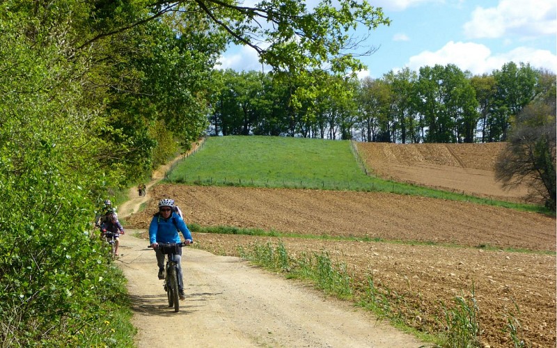
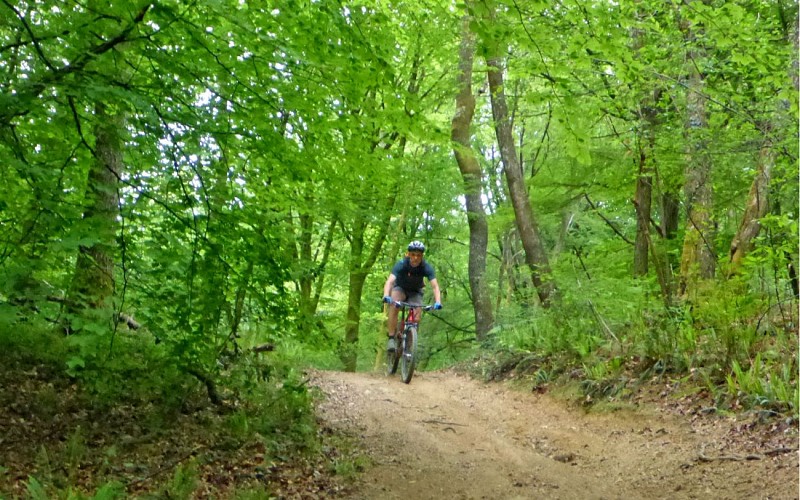
Ein sehr schöner Rundweg auf Nebenwegen, dem es nicht an Charakter fehlt. Ohne jemals große technische Schwierigkeiten aufzuweisen, richtet sie sich aufgrund ihrer Länge und ihres Höhenunterschieds an die Sportlichsten.
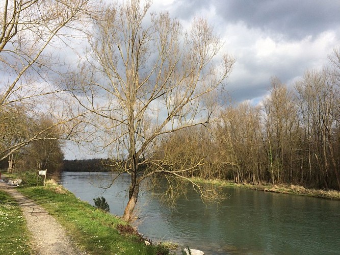
Kanäle sind ein wesentlicher Bestandteil der Landschaft in der Ebene von Nay und existieren seit dem Mittelalter. Sie dienten der Bewässerung und dem Antrieb von Mühlen und Hämmern. Ihre Rolle war für den Aufbau der Industrie in Nay im 19. Jahrhundert von entscheidender Bedeutung. Die Wasserfassung von Coarraze am rechten Ufer führt zum Lagoin-Kanal, der den gleichnamigen Bach und den Kanal der Ebene speist. Am linken Ufer oberhalb der Brücke von Claracq mündet der Grau-Kanal in den Escourre und ergibt den Gaou-Kanal. Von diesen Kanälen und Bächen zweigt eine Vielzahl kleiner Bewässerungskanäle ab.
Technische Informationen
Höhenprofil
Ausgangspunkt
Schritte
Sehenswürdigkeiten


Zusätzliche Informationen
Contact
Kabeltelefon : +33 5 59 13 94 99
Office de Tourisme Communautaire du Pays de Nay
Website (URL) : www.tourisme-bearn-paysdenay.com
Office de Tourisme Communautaire du Pays de Nay
Balisage
Gelb
panneaux VTT6 avec le nom "Tour du Pays de Nay"
Typologie de l'itinéraire
Schleife
Thèmes
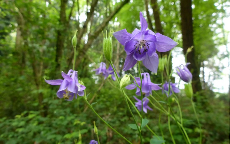
Naturnah
Datenautor
