Warnung
Warnungen
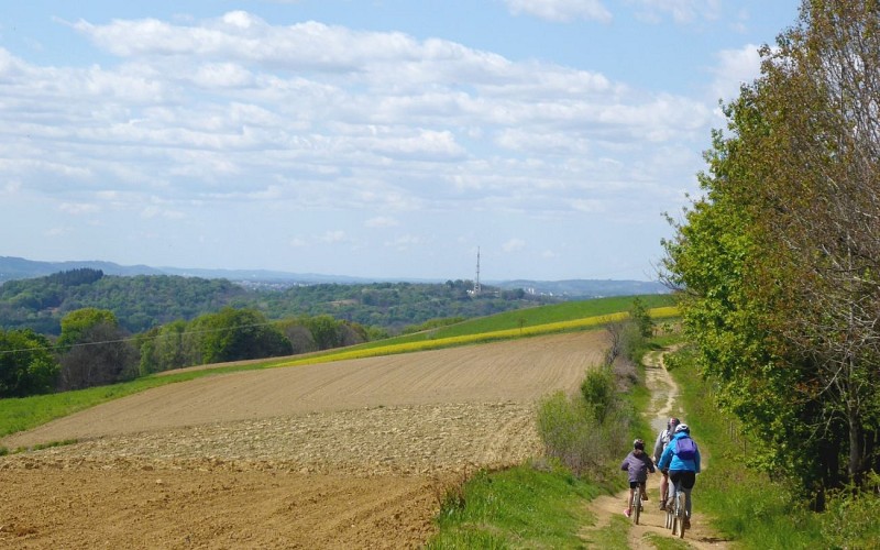
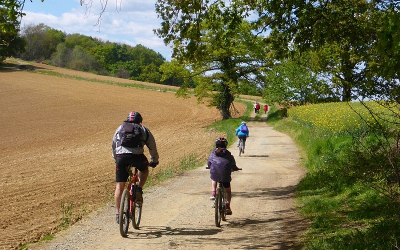
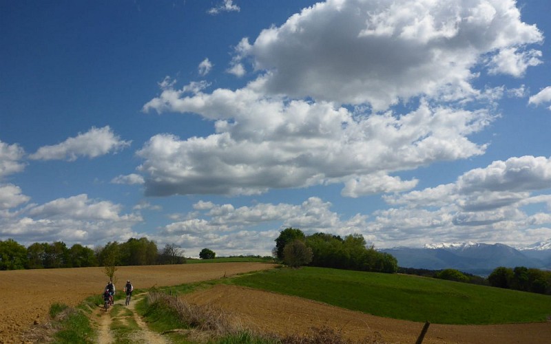
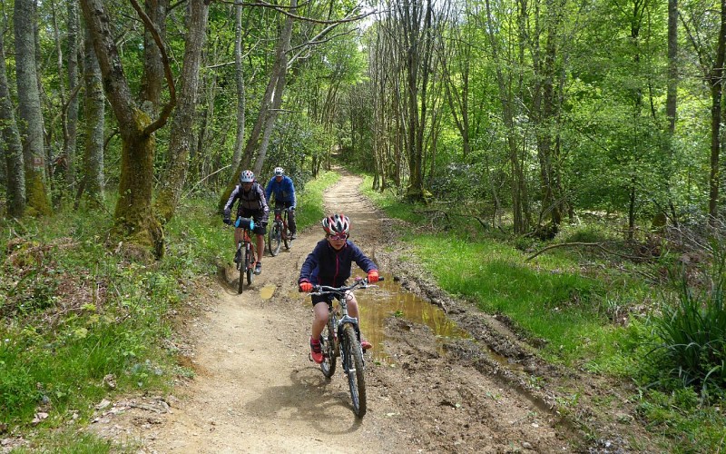
VTT 5 Le chemin Henri IV


Beschreibung
Dieser Weg soll der sein, den Heinrich IV. von Pau aus benutzte, um in den Wäldern von Lourdes auf die Jagd zu gehen. Er befindet sich auf den Anhöhen, ist viel älter als der gute König und stammt aus der Frühgeschichte. Er diente dazu, die Sümpfe der Ebene von Nay und den Gave de Pau zu vermeiden.
Der Jakobsweg zwischen Lourdes, Pau und Lescar, vom Dolmen von Peyre Duzets über die Ruinen von Gleise Pause bis hin zum Fort de César, die Etymologie und die Überreste erzählen die Geschichte eines Weges, der lange bevor er den Namen eines Königs erhielt, ein Weg zwischen Städten war. Später wurden Dörfer und Straßen in der Ebene gebaut, die mit dem Klimawandel und der Arbeit der Menschen austrocknete.
Technische Informationen
Höhenprofil
Ausgangspunkt
Schritte
Zusätzliche Informationen
Contact
Kabeltelefon : +33 5 59 13 94 99
Office de Tourisme Communautaire du Pays de Nay
Website (URL) : www.tourisme-bearn-paysdenay.com
Office de Tourisme Communautaire du Pays de Nay
Balisage
Weiß und Rot (Fernwanderweg)
Chemin Henri IV
Typologie de l'itinéraire
Hin- und Rückfahrt
Fernwanderweg (GR®)
Animaux bienvenus ?
Oui
Thèmes
Historisch
Naturnah
Marques et labels
GR® homologué FFRandonnée
Datenautor
