Warnung
Warnungen
Atharri


Beschreibung
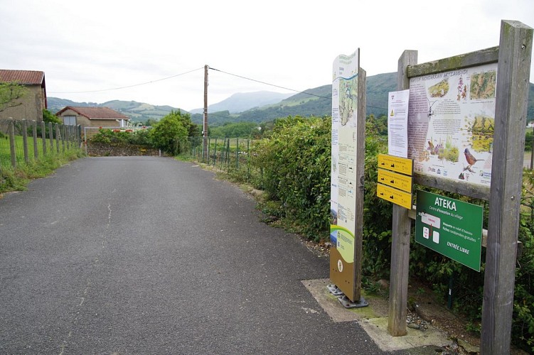
Itxassou ist ein typisches Dorf und Ausgangspunkt für zahlreiche Wanderrouten. Atharri ist ein guter Kompromiss zwischen Spaziergang und Wanderung. Diese Route ist oft einfach, wird Sie aber dennoch für eine knappe Stunde daran erinnern, dass Sie sich in den Bergen befinden!
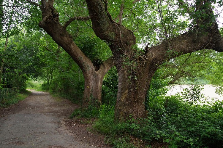
Die Freuden sind vielfältig. Sie können eine Weile am "Strand" des Pas de Roland flanieren, das Ballett der Gänsegeier beobachten und sogar auf dem einzigen Anstieg der Strecke ins Schwitzen kommen. Willkommen, Sie sind im Baskenland angekommen!
Technische Informationen
Höhenprofil
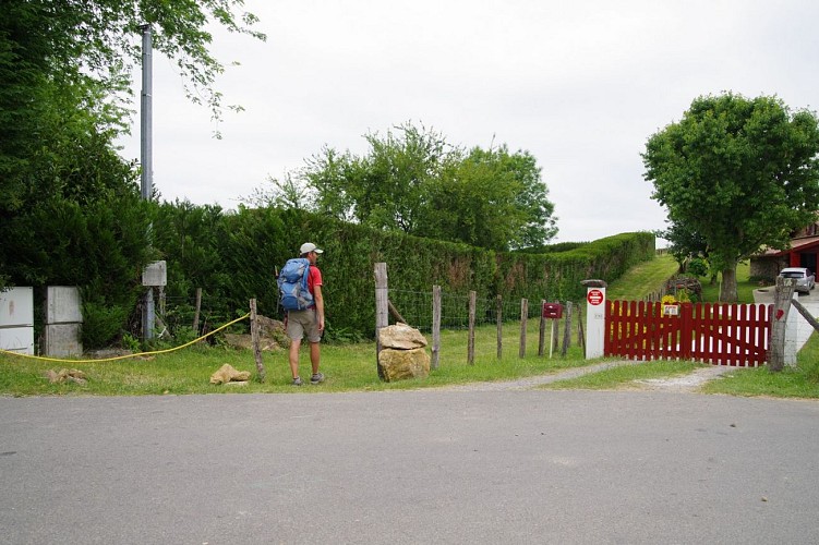
Ausgangspunkt
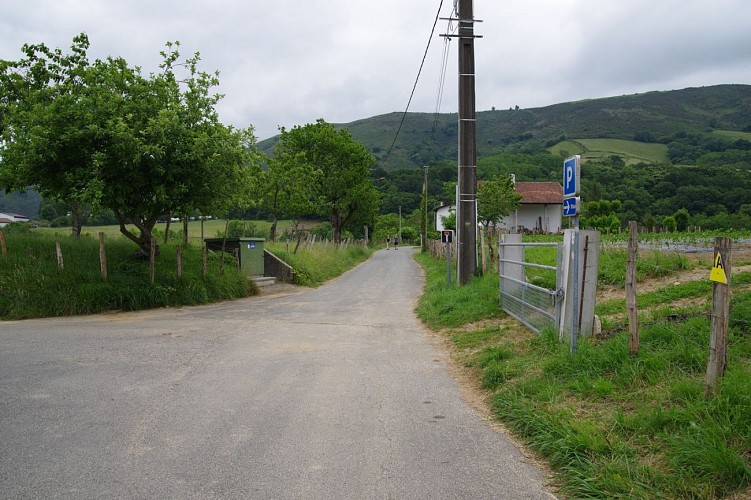
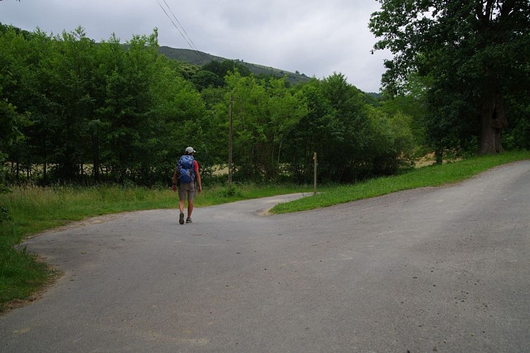
Schritte
Sehenswürdigkeiten


Zusätzliche Informationen
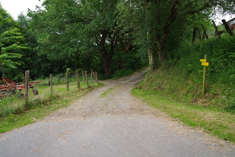
Balisage
Gelb
Trait - Balisage directionnel sur supports locaux
Typologie de l'itinéraire
Schleife
Durée moyenne de l'expérience
3 bis 4 Stunden
Thèmes
Naturnah
Datenautor
