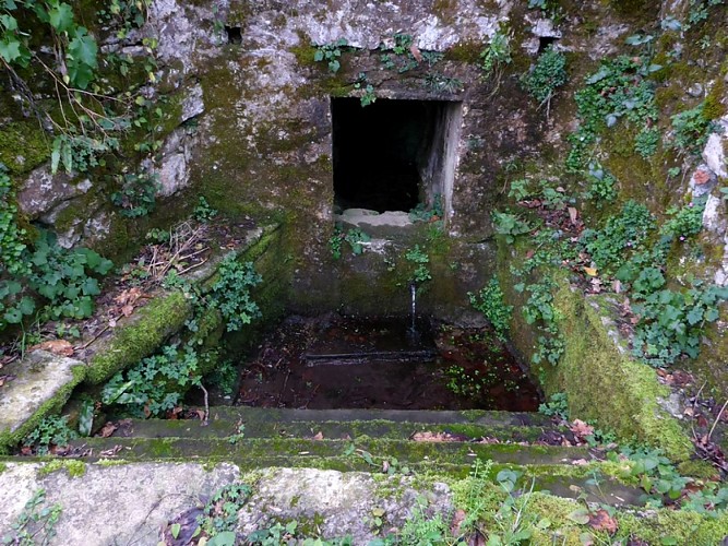
In der Umgebung sehen
Mehr sehen
Öffnen
Schließen
Anzeigen
Anzeigen
Anzeigen
Anzeigen
Anzeigen
Anzeigen
Anzeigen
Anzeigen
Anzeigen
Anzeigen
Anzeigen

Oups... Es scheint, dass Cirkwi keine Berechtigung hat, Ihren Standort zu verwenden.

Beschreibung
Karte
Schritte
Sehenswürdigkeiten
Bewertungen und Rezensionen
In der Umgebung sehen

Balade patrimoine d'Arthez d'Asson, un village né de la forge

Design sans titre - 3
Design sans titre - 4
rec  Arthez d'Asson Les restes de la forge
rec Arthez d'Asson La tour du chateau
rec Arthez d'Asson Le barrage
rec Arthez d'Asson Quartier des Aoules

Beschreibung

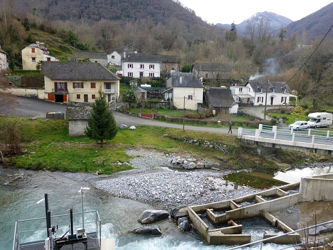
Dieser Rundweg befindet sich in der Gemeinde Arthez d'Asson in der Region Pays de Nay und führt Sie durch eine hügelige Landschaft mit vielen Bauernhöfen.
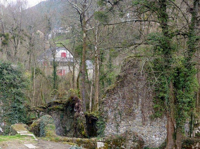
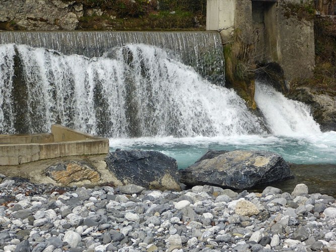
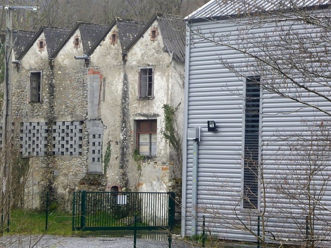
Das Dorf mit seinen zusammengebauten Häusern hat ein Viertel in der Nähe des Wassers, das aus der Aktivität einer alten Schmiede entstanden ist.

Technische Informationen

Dieser Rundweg wurde aktualisiert am: 15/04/2024
3.6 km
max. 400 m
min. 347 m
70 m

Höhenprofil

Ausgangspunkt

64800 ARTHEZ-D'ASSON
Lat : 43.087517768Lng : -0.252338238

Schritte

image du object
1

Go to the old forge

In front of the town hall, the square Place Antoine d’Incamps. Go to the right on the road D126. Turn left on the road Route des Aoûles. Go down the road to the ironworks, old forge and the castle.

- Office de Tourisme Communautaire du Pays de Nay -
Consulter
image du object
2

Go to the neighbourhood des Aoûles.

From the ironworks, old forge and the castle, at the level of the water basin go down to the left and follow the canal. Go up on the road. Go down, turn left crossing two bridges.

- Office de Tourisme Communautaire du Pays de Nay -
Consulter
image du object
3

Go to the dam and the water inlet

From the workers neighbourhood des Aoûles, cross the road and go down to see the dam near the water.

- Office de Tourisme Communautaire du Pays de Nay -
Consulter
image du object
4

The factories and the power plant

The dam and the water inlet. Go up passing in front of the washhouse. Follow the road that goes to the left. At the top of a slope continue straight ahead. At the next crossroads keep straight ahead to reach Garrénot, an agricultural neighbourhood. Turn left to the no-through road Impasse Hartigaü and go down. In a bend to the right go down towards the river by a stepped path to the left.

- Office de Tourisme Communautaire du Pays de Nay -
Consulter
image du object
5

The Fountain Péline.

From the factories and the power plant, cross the footbridge and go up by the path to the right. Back on the road, cross it and go up to the left on the path Chemin des écoles. Turn right and go up the path Passage Cantinat. You arrive at the church and the village centre. Bypass the church to the right. Do not go to the path Chemin de Pinte but the one that goes ahead towards a football field: the path Chemin du Cimetière. At the end of the cemetery, go up to the left on a grassy path between low walls made of stone. Go down to the right to see the fountain.

- Office de Tourisme Communautaire du Pays de Nay -
Consulter
image du object
6

Go back to the start.

From the fountain Péline, go up and turn right. In front of the school, turn right and go down by steps. Continue straight ahead then turn left to go back to the start.

- Office de Tourisme Communautaire du Pays de Nay -
Consulter

Zusätzliche Informationen

Contact

Kabeltelefon : +33 5 59 13 94 99
Office de tourisme communautaire
Website (URL) : www.tourisme-bearn-paysdenay.com
Office de tourisme communautaire

Typologie de l'itinéraire

Schleife

Animaux bienvenus ?

Oui

Thèmes

Historisch

Bewertungen und Rezensionen

In der Umgebung sehen
Mehr sehen
Öffnen
Schließen
Anzeigen
Anzeigen
Anzeigen
Anzeigen
Anzeigen
Anzeigen
Anzeigen
Anzeigen
Anzeigen
Anzeigen
Anzeigen