Warnung
Warnungen
N°18 Trail d'Ourdinse
Beschreibung
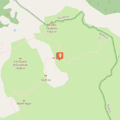
Diese große Strecke ist für alle geeignet, die sich gerne anstrengen und die Natur lieben. Die Distanz und die Vielfalt des Geländes machen es zu einer Herausforderung, sich auf eine solche Runde zu begeben. Die erhabenen Landschaften bieten Trost, während die schattigen Zonen für Kühlung sorgen. Es beginnt sehr stark mit dem Anstieg zum Plateau d'Ourdinse mit einer durchschnittlichen Steigung von 21 % auf 900 Metern. Der zweite lange Anstieg auf halber Strecke ist weniger steil, aber die Müdigkeit macht sich bereits bemerkbar!
Technische Informationen
Höhenprofil
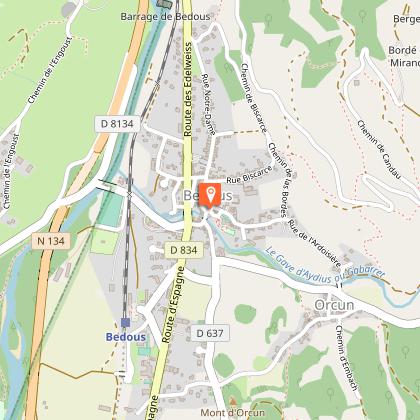
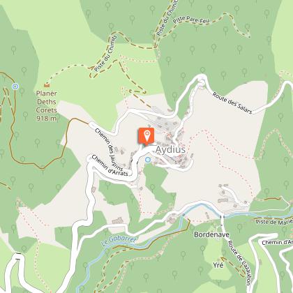
Ausgangspunkt
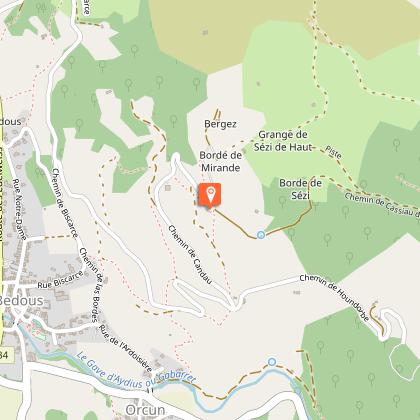
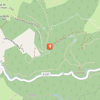
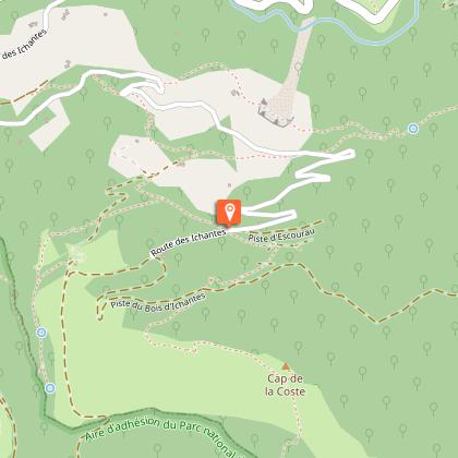
Schritte
Zusätzliche Informationen
Balisage
Gelb
Rectangle jaune et flêche noire
Typologie de l'itinéraire
Schleife
Equipements
Wasserstelle
Wasserstelle
Thèmes
Naturnah
Datenautor
