In der Umgebung sehen
Mehr sehen
Öffnen
Schließen
Anzeigen
Anzeigen
Anzeigen
Anzeigen
Anzeigen
Anzeigen
Anzeigen
Anzeigen
Anzeigen
Anzeigen
Anzeigen

Oups... Es scheint, dass Cirkwi keine Berechtigung hat, Ihren Standort zu verwenden.

Beschreibung
Karte
Schritte
Bewertungen und Rezensionen
In der Umgebung sehen

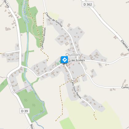
Ouillon : chemin des bergers à cheval

20 chemin des bergers randonnée équestre © peio Gaillard Montamigo
Abère station rando dessin cph tourisme nord bearn et madiran (3)
boucle randonnée Lespourcy mai 2015 cph OT (67)

Beschreibung

Eine reizvolle Wanderung, die das ganze Jahr über durchgeführt werden kann. Schöne Wege mit atemberaubender Aussicht auf die Pyrenäen, unterbrochen von zwei Abschnitten im Unterholz, die sehr angenehm sind.

Technische Informationen

Pferd
Schwierigkeit
Einfach
Dauer
2h30mn
Entfernung
20 km
Mehr anzeigen

Höhenprofil

Ausgangspunkt

25 chemin des écoliers , 64160 OUILLON
Lat : 43.31317937Lng : -0.2469177078

Schritte

image du object
1

Etape 1

With your back to the church, turn left down the chemin des écoliers. Take the first track on the right between the houses and cross the undergrowth, go down slightly onto the road, then up the track to the right. Continue straight ahead at the next three crossroads. Go as far as a crossroads and turn right. Keep going and at the end of this long track, fork right, then right onto the D362. Take the path immediately to the left.

- TOURISME ET LOISIRS - COTEAUX BEARN MADIRAN -
Consulter
image du object
2

Etape 2

Follow the lane and fork left at the crossroads. Pass the beautiful avenue of oak trees, then the Cassou farm and turn right. Take the first track on the left and follow it. Go alongside the field and the small stream. Cross the stream and go straight on to the road. Riders be careful, there may be gullies draining off water without screens.

- TOURISME ET LOISIRS - COTEAUX BEARN MADIRAN -
Consulter
image du object
3

Etape 3

Turn right onto the road, follow the hairpin bend and continue straight ahead between the houses to descend onto the track. Take the track on the right into the forest. Leave the wood and cross the road after the houses, where a track climbs up on the right. Take a section of the D39 (careful traffic) to the left, then turn right. Leave Rue Marquedehore. Leave the track on the left to reach Andoins church.

- TOURISME ET LOISIRS - COTEAUX BEARN MADIRAN -
Consulter
image du object
4

Etape 4

Go around the church onto Rue Nouste Henric. As you go downhill, at a bend in the road, enter the woods. Go up and at the stop sign turn right and then left. Follow the track to the road, turn right and head for Ouillon, but beware of the traffic!

- TOURISME ET LOISIRS - COTEAUX BEARN MADIRAN -
Consulter

Zusätzliche Informationen

Contact

Kabeltelefon : +33 5 59 33 62 25
Syndicat tourisme Coteaux Béarn Madiran (antenne Morlaàs)
Website (URL) : www.bearnmadiran-tourisme.fr/
E-Mail : contact@bearnmadiran-tourisme.fr

Balisage

Orange

Typologie de l'itinéraire

Schleife

Durée moyenne de l'expérience

2 bis 3 Stunden

Thèmes

Kulturell
Historisch
Naturnah
Religiös

Bewertungen und Rezensionen

In der Umgebung sehen
Mehr sehen
Öffnen
Schließen
Anzeigen
Anzeigen
Anzeigen
Anzeigen
Anzeigen
Anzeigen
Anzeigen
Anzeigen
Anzeigen
Anzeigen
Anzeigen
Vorsicht!
Wir haben keine Informationen zur Schwierigkeit dieser Strecke. Es könnte sein, dass Sie unterwegs einige Überraschungen erleben. Bevor Sie loslegen, informieren Sie sich bitte etwas genauer und treffen Sie alle erforderlichen Vorsichtsmaßnahmen. Gute Fahrt! 🌳🥾