Warnung
Warnungen
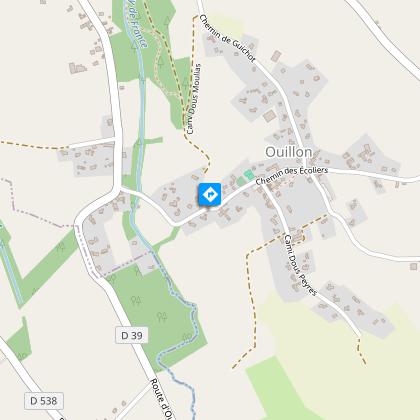
Ouillon : chemin des bergers


Beschreibung
Diese schöne Wanderung führt durch Heidelandschaften, über Hänge und durch die vielen Flüsse, die das Relief geformt haben. Sie ist kontrastreich, mit schattigen und offenen Abschnitten. Der Höhenunterschied ist geringer, aber die Entfernung ist zu berücksichtigen.
Technische Informationen
Höhenprofil
Ausgangspunkt
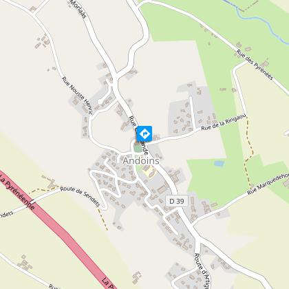
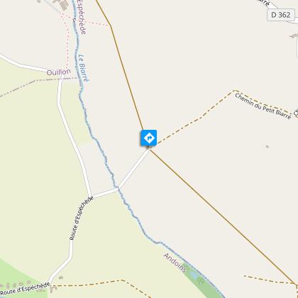
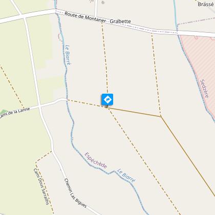
Schritte
Zusätzliche Informationen
Contact
Kabeltelefon : +33 5 59 33 62 25
Syndicat tourisme Coteaux Béarn Madiran (antenne Morlaàs)
Website (URL) : www.bearnmadiran-tourisme.fr/
E-Mail : contact@bearnmadiran-tourisme.fr
Balisage
Gelb
Typologie de l'itinéraire
Schleife
Thèmes
Naturnah
Durée moyenne de l'expérience
2 bis 3 Stunden
Animaux bienvenus ?
Oui
Datenautor
