Warnung
Warnungen
Maucor : du Pont Long aux coteaux à VTT


Beschreibung
(Echtes) Mountainbiken, wie wir es lieben: abwechslungsreiches Gelände, schöne, steile Anstiege und rollende Abfahrten. Ein sportlicher Cocktail voller Herausforderungen und schöner Aussichten. Diese Strecke ist brüchig und erfordert eine gute Kondition.
Technische Informationen
Höhenprofil
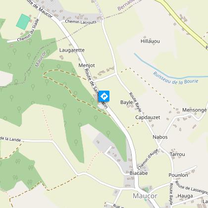
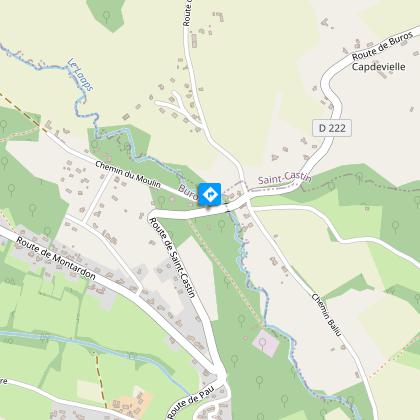
Ausgangspunkt
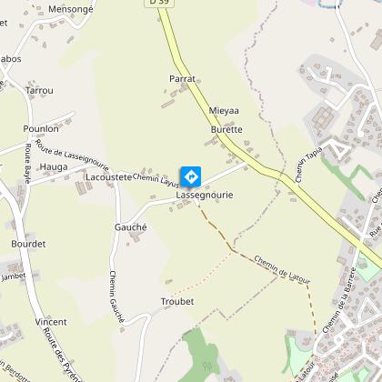
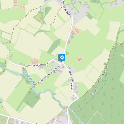
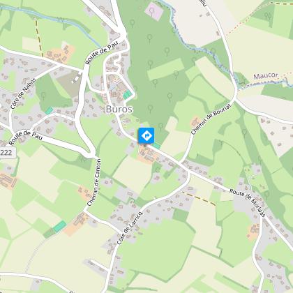
Schritte
Zusätzliche Informationen
Contact
Kabeltelefon : +33 5 59 33 62 25
Syndicat tourisme Coteaux Béarn Madiran (antenne Morlaàs)
E-Mail : contact@bearnmadiran-tourisme.fr
Website (URL) : www.bearnmadiran-tourisme.fr/
Balisage
Gelb
Triangle du VTT
Typologie de l'itinéraire
Schleife
Fernwanderweg (GR®)
Thèmes
Compostela
Kulturell
Gastronomisch
Historisch
Ungewöhlich
Naturnah
Religiös
Durée moyenne de l'expérience
2 bis 3 Stunden
Equipements
Ladeterminal für Elektroauto
Picknickplatz
Verpflegungsort (Lebensmittelladen, Restaurant)
Wasserstelle
Sanitäranlagen
Datenautor
