In der Umgebung sehen
Mehr sehen
Öffnen
Schließen
Anzeigen
Anzeigen
Anzeigen
Anzeigen
Anzeigen
Anzeigen
Anzeigen
Anzeigen
Anzeigen
Anzeigen
Anzeigen

Oups... Es scheint, dass Cirkwi keine Berechtigung hat, Ihren Standort zu verwenden.

Beschreibung
Karte
Schritte
Bewertungen und Rezensionen
In der Umgebung sehen

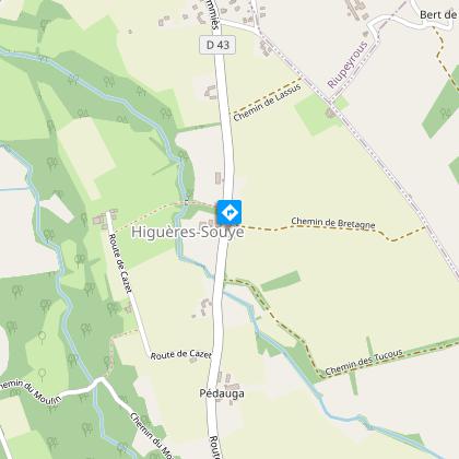
Higuères-Souye : entre Luy et Souye

1 entre luy et souye randonnée © peio Gaillard Montamigo peio Gaillard Montamigo
4 entre luy et souye higueres-souye randonnée vtt © peio Gaillard Montamigo

Beschreibung

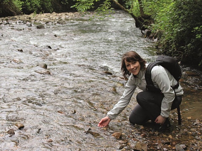
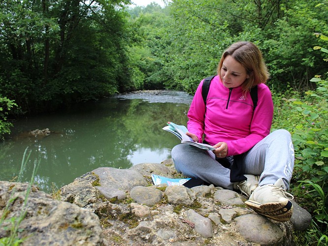
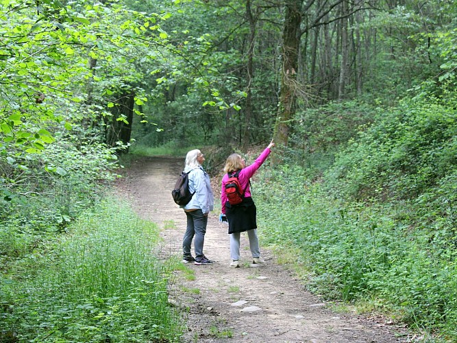
Diese abwechslungsreiche Wanderung spricht sowohl Mountainbiker als auch Wanderer an. Die Abschnitte im Unterholz und die Wege sind sehr angenehm. Das Relief an den Ufern des Luy de France und des Souye ist gut ausgeprägt, was dieser Tour eine sportliche Seite verleiht.

Technische Informationen

Dieser Rundweg wurde aktualisiert am: 15/04/2024
12 km
max. 294 m
min. 226 m
230 m

Höhenprofil

Ausgangspunkt

64160 HIGUERES-SOUYE
Lat : 43.3721563686Lng : -0.2584444173

Schritte

image du object
1

Etape 1

With your back to the church, cross the road, go right and take the path on the left. At the large farm, turn left onto the lane, and after the house, follow the shady pebble path to the right. Return to the road, cross the Souye and turn left at the top of the hill. At the corner of a copse, turn left off the road. After the track, continue straight ahead on the asphalt, skirting the high-voltage power line.

- TOURISME ET LOISIRS - COTEAUX BEARN MADIRAN -
Consulter
image du object
2

Etape 2

Turn left, then right, past the farm, continue on the track and fork right onto the Chemin d'Artigou. Once on the D222, take care when crossing and continue along the Luy de France. This cool stretch is ideal for a picnic! The track levels out and there is a climb up the hillside. Continue as far as the junction with the D222.

- TOURISME ET LOISIRS - COTEAUX BEARN MADIRAN -
Consulter
image du object
3

Etape 3

Pay attention to the crossing and continue straight ahead. At the crossroads, turn right and then left. The track runs south along the hillside. Take a track on the left that descends due north. After the ford (which can be high in winter), climb back up onto the plateau and join the D43. Follow the signs for Garlin, then turn immediately right.

- TOURISME ET LOISIRS - COTEAUX BEARN MADIRAN -
Consulter
image du object
4

Etape 4

On the shady descent that follows, turn right into rue Labourie. Go straight on for 1 km and take the track opposite. Leave the track and take a dirt track through a copse on the right. When you reach the D43, turn right as far as the church.

- TOURISME ET LOISIRS - COTEAUX BEARN MADIRAN -
Consulter

Zusätzliche Informationen

Contact

Kabeltelefon : +33 5 59 33 62 25
Syndicat tourisme Coteaux Béarn Madiran (antenne Morlaàs)
Website (URL) : www.bearnmadiran-tourisme.fr/
E-Mail : contact@bearnmadiran-tourisme.fr

Balisage

Gelb

Typologie de l'itinéraire

Schleife

Thèmes

Naturnah

Durée moyenne de l'expérience

2 bis 3 Stunden

Equipements

Picknickplatz

Animaux bienvenus ?

Oui

Bewertungen und Rezensionen

In der Umgebung sehen
Mehr sehen
Öffnen
Schließen
Anzeigen
Anzeigen
Anzeigen
Anzeigen
Anzeigen
Anzeigen
Anzeigen
Anzeigen
Anzeigen
Anzeigen
Anzeigen