Warnung
Warnungen
Art der Übung
Rennrad
Schwer
7h30mn
Präsentation
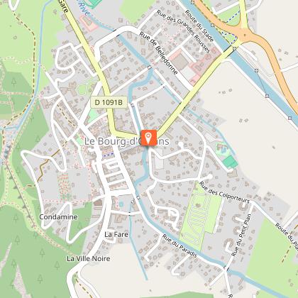
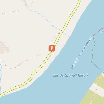
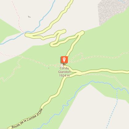
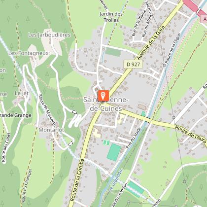
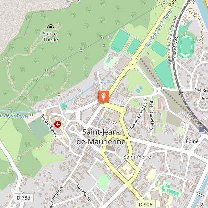
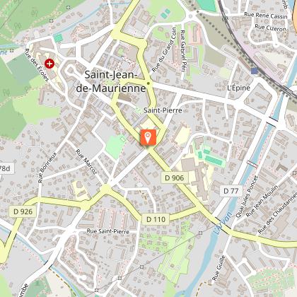
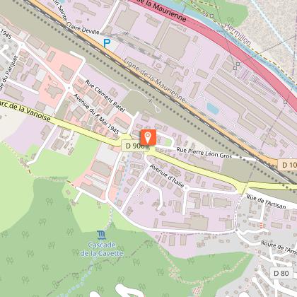
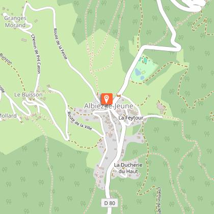
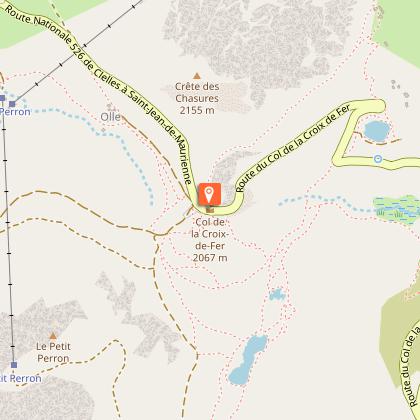
Karte
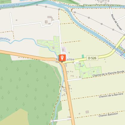
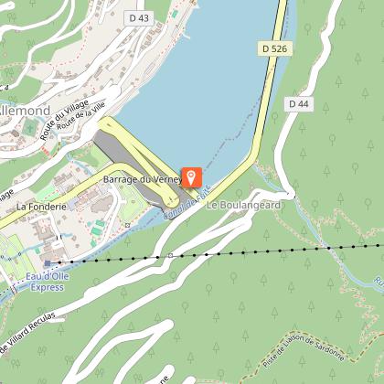
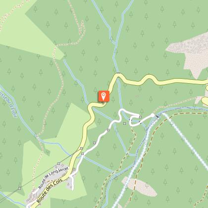
Schritte
Bewertungen und Rezensionen
In der Umgebung sehen
La boucle des cols


IGN Karten

3335ETR - LE BOURG-D'OISANS L'ALPE D'HUEZ RESISTANTE GRANDES ROUSSES SEPT LAUX
Herausgeber : IGN
Sammlung : TOP 25 RÉSISTANTE
Leiter : 1:25 000
17.20€

3336ETR - LES DEUX ALPES RESISTANTE OLAN MUZELLE PARC NATIONAL DES ÉCRINS
Herausgeber : IGN
Sammlung : TOP 25 RÉSISTANTE
Leiter : 1:25 000
17.20€

3335ET - LE BOURG-D'OISANS L'ALPE D'HUEZ GRANDES ROUSSES SEPT LAUX
Herausgeber : IGN
Sammlung : TOP 25 ET SÉRIE BLEUE
Leiter : 1:25 000
13.90€

3336ET - LES DEUX ALPES OLAN MUZELLE PARC NATIONAL DES ÉCRINS
Herausgeber : IGN
Sammlung : TOP 25 ET SÉRIE BLEUE
Leiter : 1:25 000
13.90€

TOP75006 - MASSIF DES ECRINS OISANS CHAMPSAUR
Herausgeber : IGN
Sammlung : TOP 75
Leiter : 1:75 000
9.80€

TOP100D38 - ISÈRE GRENOBLE VIENNE PARC NATIONAL DES ÉCRINS PARC NATUREL RÉGIONAL DU VERCORS
Herausgeber : IGN
Sammlung : TOP 100
Leiter : 1:100 000
8.40€

TOP100D73 - SAVOIE CHAMBÉRY ALBERTVILLE PARC NATIONAL DE LA VANOISE PNR DU MASSIF DES BAUGES
Herausgeber : IGN
Sammlung : TOP 100
Leiter : 1:100 000
8.40€

202 JURA ALPES DU NORD
Herausgeber : IGN
Sammlung : TOP 200
Leiter : 1:200 000
6.80€

D04-05 ALPES-DE-HAUTE-PROVENCE HAUTES-ALPES
Herausgeber : IGN
Sammlung : CARTES DÉPARTEMENTALES IGN
Leiter : 1:150 000
5.90€

D38 ISÈRE
Herausgeber : IGN
Sammlung : CARTES DÉPARTEMENTALES IGN
Leiter : 1:150 000
5.90€

NR14 AUVERGNE-RHÔNE-ALPES RECTO/VERSO MASSIF CENTRAL
Herausgeber : IGN
Sammlung : CARTES RÉGIONALES IGN
Leiter : 1:250 000
6.80€

NR16 PROVENCE-ALPES-CÔTE D'AZUR
Herausgeber : IGN
Sammlung : CARTES RÉGIONALES IGN
Leiter : 1:250 000
6.80€

NR15 AUVERGNE-RHÔNE-ALPES RECTO/VERSO MASSIF ALPIN
Herausgeber : IGN
Sammlung : CARTES RÉGIONALES IGN
Leiter : 1:250 000
6.80€

EUROPE
Herausgeber : IGN
Sammlung : DÉCOUVERTE DES PAYS DU MONDE IGN
Leiter : 1:2 500 000
7.00€
Technische Informationen
Rennrad
Schwierigkeit
Schwer
Dauer
7h30mn
Entfernung
150 km
Art der Übung
Rennrad
Schwer
7h30mn
Mehr anzeigen
Höhenprofil
Ausgangspunkt
Mas du Plan
,
38520
Le Bourg-d'Oisans
Lat : 45.054787Lng : 6.031618
Schritte

Zusätzliche Informationen
Environments
In den Bergen
Updated by
Oisans Tourisme - 15/10/2025
www.bike-oisans.com
Report a problem
Contact
Phone : 04 76 80 03 25
Email : info@oisans.com
Website : https://www.bike-oisans.com
Datenautor

vorgeschlagen von
Oisans Tourisme
Bewertungen und Rezensionen
In der Umgebung sehen