Warnung
Warnungen
Art der Übung
Rennrad
Schwer
3h45mn
Präsentation
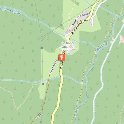
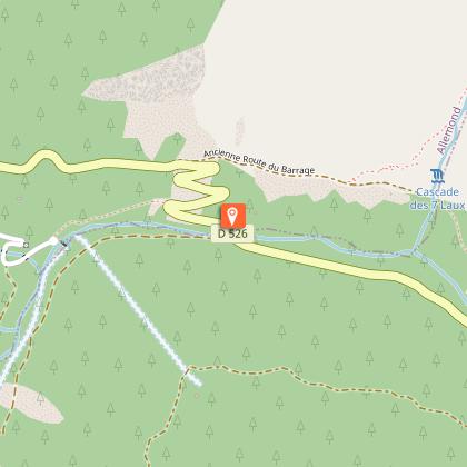
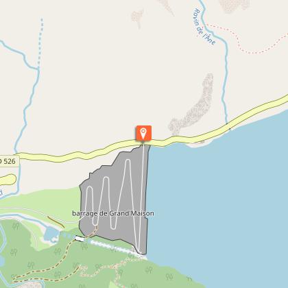
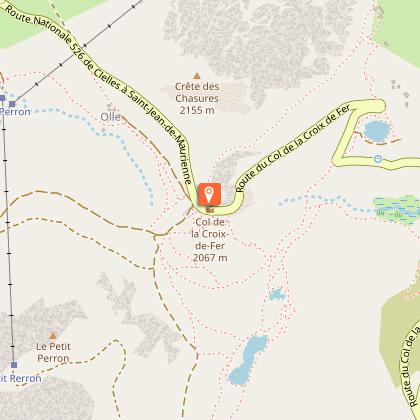
Karte
Schritte
Bewertungen und Rezensionen
In der Umgebung sehen
Col de la Croix de Fer - Col du Glandon
Technische Informationen
Rennrad
Schwierigkeit
Schwer
Dauer
3h45mn
Entfernung
80 km
Art der Übung
Rennrad
Schwer
3h45mn
Mehr anzeigen
Höhenprofil
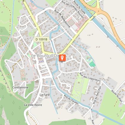
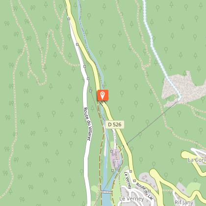
Ausgangspunkt
Mas du Plan
,
38520
Le Bourg-d'Oisans
Lat : 45.054787Lng : 6.031618
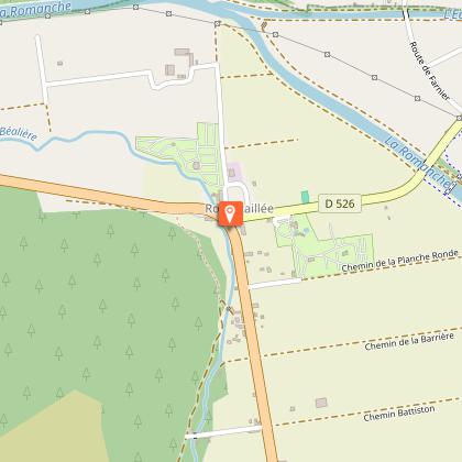
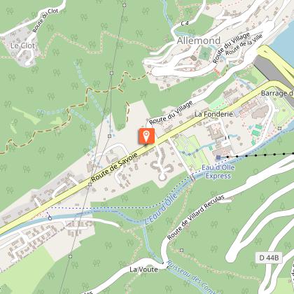
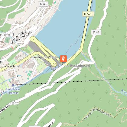
Schritte
Datum und Uhrzeit
- Von 01/05/2026 bis 15/11/2026
- Von 01/05/2027 bis 15/11/2027
Zusätzliche Informationen
Environments
In den Bergen
Updated by
Oisans Tourisme - 24/06/2026
www.bike-oisans.com
Report a problem
Contact
Phone : 04 76 80 03 25
Email : info@oisans.com
Website : https://www.bike-oisans.com
Datenautor

vorgeschlagen von
Oisans Tourisme
Bewertungen und Rezensionen
In der Umgebung sehen