Diese Wanderung ist in der Wintersaison wegen des Schnees nicht durchführbar.
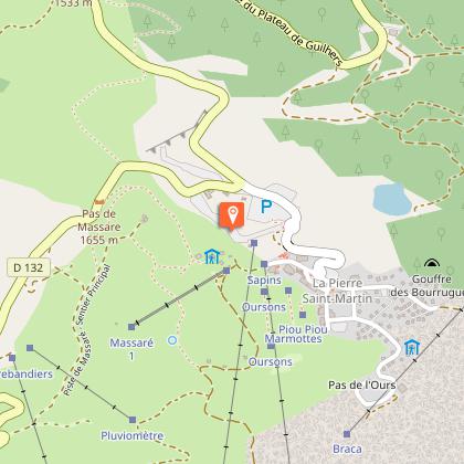
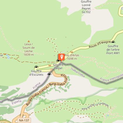
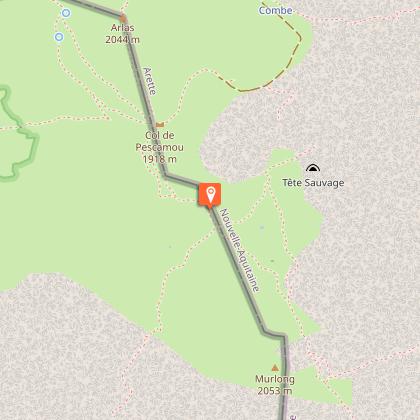
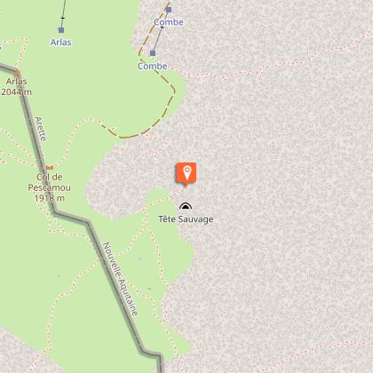
Willkommen im verzauberten Land! Die Landschaften wechseln ständig ihre Stimmungen. Von La Pierre Saint-Martin aus werden die Sommerweiden vom Klingeln der Klarinetten eingeläutet. Die alten Cayolars halten der Zeit stand und zeugen von der Härte des Lebens in den Bergen. Nach der Überquerung des Col de la Pierre Saint-Martin im Süden färben Kiefern und Blumenteppiche die Aussicht, bevor die mineralhaltigen Arres d'Anie erreicht werden. Mit einem Fuß in Spanien schweift der Blick in die Ferne, mit dem aufkommenden Wunsch, dort einen Ausflug zu machen! Im Hintergrund thront stolz der Pic d'Anie, der durch die Arres geschützt ist und einen Eindruck von Unerreichbarkeit vermittelt. Der Weg führt an der berühmten Schlucht "Gouffre de la Tête sauvage" vorbei, die die Höhle "Grotte de la Verna" mit der 9 Kilometer l
9.4 km
|
max. 1951 m
min. 1627 m
504 m
504 m
| |||
From the motorhome car park, head towards the ski lift on the right. Go alongside the ski lift to the Refuge Jeandel (the terrace calls out to you on arrival). After the refuge, hit the grassy path back to the mountain pass (cisterns on the right). Go back down the path towards the right. Fork left after a ski lift where a track gets you back onto the road. Cross the road and watch out for cars and cyclists.
Above the car park take the path uphill with stunning views. A long crossing with views amidst summer pastures dotted with pine trees leading to a valley. Before the mountain pass, go right up the path that makes its way through boulders. Continue the crossing, on the Spanish side and at the foot of the Arlas, take the right-hand path. At the Col de Pescamou, cross the South South West plateau to reach the Col de Boticotch (266 boundary marker).
Continue along this track, after the metal shelter, leave the ascending path. When you reach the Arres, leave the main path to the left. A clearly outlined path winds through the lapiaz. Be sure to stay on it in foggy conditions though! Go right at a grassy mountain pass (metallic relic). Continue until a mountain pass, the famous Boulevard des Pyrénées (ski slope).
Follow the left-hand path and leave it on the right when you see a cabin at the bottom. The path goes down to the Pescamou plateau. Stumble into the limestone cliffs and get back onto the GR10 trails. The track runs along the Arre Planère and its mountain pines. Fork left towards the ski lifts and take the highest track. Stay on it to reach the car park.
La Pierre's 140km2 of limestone mountain is incredible. There are 420km of tunnels. The entrance to La Tête Sauvage is one of 11 ways to access the Gouffre de la Pierre. Its link with the underground network, including the famous Grotte de la Verna, was discovered in 1952.
La Pierre's lapiaz is the perfect habitat for this mountain passerine. Its feathers blend into the backdrop. It isn't shy so don't be surprised if you see it pecking at crumbs left by skiers.
This refuge was built in 1963 at an altitude of 1670m with views of the valley and ski resort. It's one of the must-do stages on the GR10 and HRP trails. You'll get a warm welcome here and the views from the terrace are perfect for a post-hike refreshment.
The shepherds built their cabins themselves. Was the lintel in wood or stone?
Gelb
Trait
Schleife
Wasserstelle
Naturnah